The development team for Scene Viewer has been focused on building the foundations for future capabilities this release cycle. One of the more future-looking features is that Scene Viewer has upgraded to WebGL2 for the rendering of 3D graphics, which will enable greater performance and visualization of future scene layer categories.
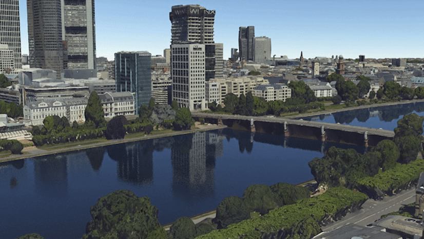
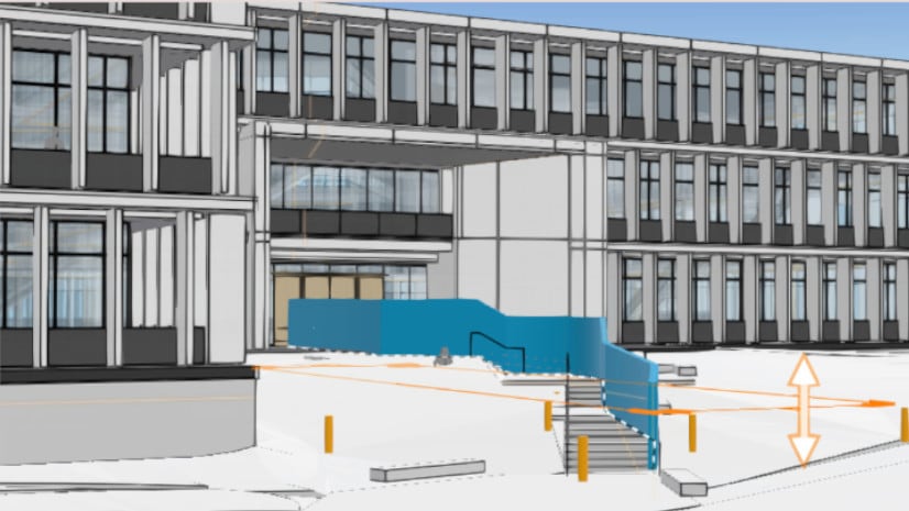
There’s a new core capability in Scene Viewer that makes it so much easier to create 3D geospatial content in a specific area of interest. With this release, users are now able to add scene layers to local scenes with the WGS 1984 coordinate system and author scenes that use ArcGIS Online basemaps and elevation. Scene Viewer has had the ability to author local scenes (as opposed to global scenes) for many years, but most user content was created in the WGS 1984 coordinate system and could only really be used with basemap content in global scenes. Users can now benefit from local scenes in Scene Viewer and dynamically clip the scene to extent. When scenes are clipped to an extent, the performance improves as there’s less to render. Underground features are also more immediately apparent to the user as underground features aren’t obfuscated by the ground.
How to: Create Clipped Local Scene
- Sign in to your ArcGIS Online Organization
- Click “Scene” on the top of the home screen. If you don’t have “Scene” or “Map” at the top, speak with your administrator to ensure you have the “Essential Apps Bundle”.
- Click the “New Scene” dropdown in the top right and select “New Local Scene.”
- Add layers to scene
- Zoom to the area of interest
- Click on “Scene Properties”
- Click “Clip to extent”
- Click “Update To current view” to dial it in
Try this new core capability with scene layers, and utilize the clip to extent feature to improve performance and subsurface navigation. Stay tuned for future improvements!


Article Discussion: