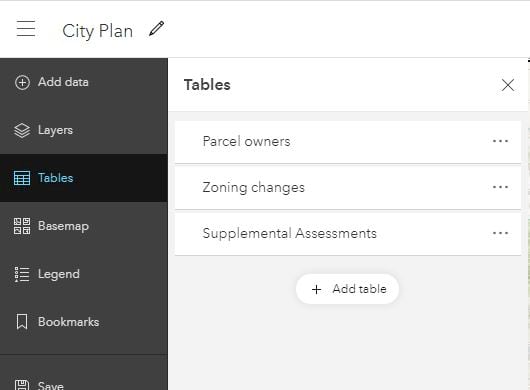
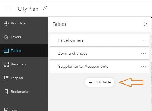
With the October 2020 update of Map Viewer Beta, you’ll notice that there is a new Tables pane on the Contents toolbar (dark). This pane is for the stand-alone tables that don’t display on the map.

The tables that appear here have no geographic features, but are often related to features in another layer. For example, a fire hydrants layer might have a related inspections table. Similarly, a parcel layer may have a related parcel owners table.
When you add a layer to your map that has related tables, the tables show up in the Tables pane. However, tables don’t need to be related to layers to be added to a map. You can add these stand-alone tables independently too.

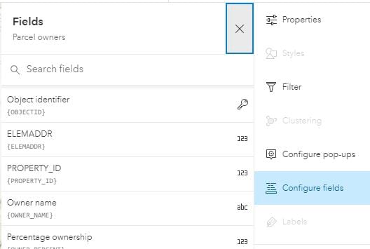
To open a table, just click on it. The table displays towards the bottom of the screen and its associated settings appear opposite the tables pane. Tables share many of the same settings as layers. You can see the table properties, filter records in a table, configure the popup (viewable in ArcGIS Collector), and configure fields. Those settings that aren’t applicable, like Styling, are disabled.

As you’ve likely been working with layer tables already, you’ll find that working with stand-alone tables is no different. You can sort fields, drag to reorder fields, show and hide fields, and edit records when editing is available.
This update reflects a small step forward for tables. Watch for these table features in a future update:
- Saving table settings such as field order and visibility
- Selecting table rows to highlight features on the map
- Viewing related records
- Formatting fields
- Calculating fields
- Adding and deleting fields


Article Discussion: