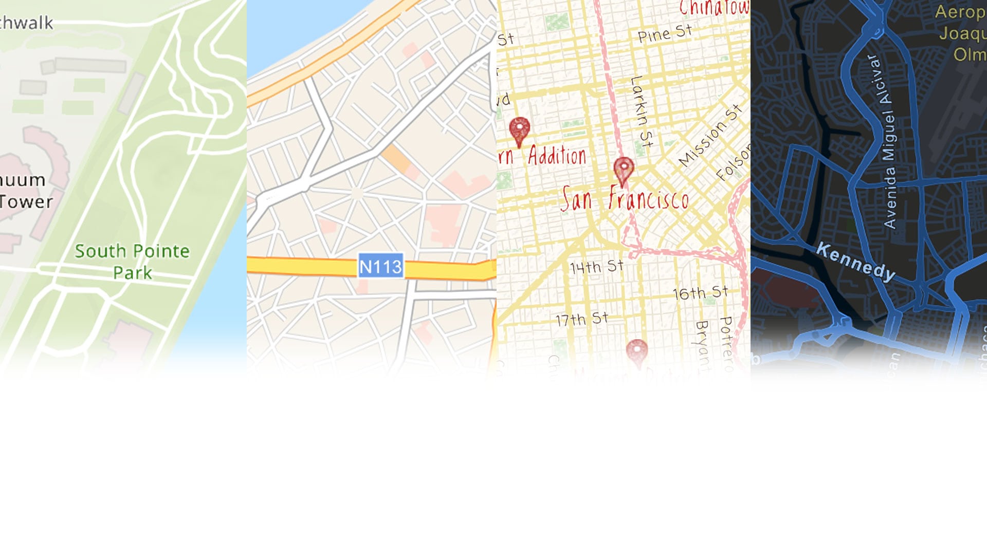
Esri Vector Basemaps Mid-August Status
The latest updates to the Esri Vector Basemaps deployed to ArcGIS.com last week. New data from our commercial provider, open sources, and community contributors provide refreshed content across all our vector styles. If you missed the announcement at this year’s User Conference, we released a new vector National Geographic Style map along with the Navigation (Dark Mode) map and Watercolour creative style. See the Living Atlas of the World for our variety of vector basemap styles. To get vector maps in the basemap gallery, your administrator can set your organization to use default Esri vector basemaps. National Geographic Style map is expected to be included in the default basemap gallery in the next Online release.


Community Maps Challenge
Some of the newest content comes from our many participants in the Community Maps Program. There are several ways users can provide information and data to improve our maps. First option is to provide feedback. See a problem – report it on the appropriate map. We have feedback services where you can make notations right on the map. The second way is to share data. Register to become a data steward and submit authoritative feature classes through our Community Maps data prep tools.

The third way is editing features with our Community Maps Editor app. This interactive app allows you to draw the features directly on the map. After our review, they’ll get incorporated into the basemaps. Ideal features to add include special areas of interest and other large scale features for your building complex, campus, school, or park. In fact, our latest Map Challenge is to enhance the most iconic city parks around the world. For more details, see the challenge page to participate.


Customization Updates
One of the biggest benefits of the Esri Vector Basemaps is the user ability to customize these maps. Changes can be as simple as switching colors, replacing fonts, removing unneeded features, or similar. The change can also be more involved, such as changing the presentation of a disputed boundary lines for a specific world view.
DisputeID
See our Reference Document and Web Map for all the DisputeID codes. These control the dashed boundary line display and alternate naming of select features. Editing your copy of the root.json style file in a text editor is required (e.g. Brackets or Notepad++). One specific change this release expands the options to display boundary lines of the West Bank and Gaza Strip separately. There is a segment of boundary line at Jerusalem that changed from DisputeID=45 to DisputeID=157. Additionally, the Gaza Strip boundary is now DisputeID=145 (it was also 45).
Esri Vector Tile Style Editor
Another way to customize vector maps is through the Style Editor. It was released as part of the ArcGIS.com Online Map Viewer update right before the User Conference. Access the app from the Change Style icon under any Esri Vector Basemap layer (icon circled in image). Log-in required. It is also accessible from the Esri Developer’s site. See this documentation page for information on using this app along with additional links.


GeoNet | The Esri Community
Visit the ArcGIS Living Atlas of the World product page on GeoNet. Ask questions, share custom styles, and browse this space for the information you need!

Commenting is not enabled for this article.