Enhancing 911 Dispatch Accuracy Through Esri’s World Geocoding Service
Teton County, Idaho’s 911 vendor recently transitioned to using Esri’s World Geocoding Service for address location data. Due to the county’s rapid development, routine updates frequently failed to capture new roads and addresses. To overcome this issue, the county began sharing its point address data directly with Esri – resulting in a significant improvement in dispatch location accuracy.
To support this integration, Teton County redesigned its road and address point schemas to comply with Esri’s standards as well as state Next Generation 911 (NG911) requirements. While this modernization effort initially led to ID mismatches and the loss of some sub-address entries, the county’s latest submission to Esri’s Community Maps program is expected to reconcile those discrepancies and ensure better alignment with Esri’s World Geocoding Service moving forward.
The Legacy TIGER Data Problem
Many online mapping services that rely on Esri’s World Geocoding Service previously struggled to locate addresses in Teton County due to outdated TIGER data that no longer aligned with the county’s 2007–08 readdressing effort. During that readdressing, road names were updated from formats like “S 100 W” to “S 1000 W,” but the Census Bureau’s TIGER dataset was never fully updated to reflect those changes.
As a result, mapping services based solely on TIGER data were up to 75% inaccurate for Teton County. Although the county submitted corrections for the 2020 Census, the requirement for feature-by-feature review made a complete overhaul unfeasible. In contrast, Esri’s Community Maps program enabled bulk submission of the county’s corrected road and address data.
These contributions have significantly improved both road naming and address accuracy within Esri’s system. While the county continues to work with platforms such as Google, HERE, Bing, and OpenStreetMap to ensure consistency, Esri now provides approximately 95% accurate geocoding for the area - dramatically enhancing location reliability for users and emergency services alike.
Observations
Teton County’s efforts demonstrate how proactive, authoritative contributions to Esri’s ecosystem can significantly improve service accuracy – particularly when public safety is at stake. By aligning local datasets with global geospatial services, local governments play a vital role in ensuring that critical systems, such as 911 dispatch, function reliably not only within their own operations but across broader platforms used by the public and emergency responders alike.
Key Takeaways
- If your 911 or emergency systems depend on Esri’s World Geocoding Service, participate in Esri Community Maps to keep data current.
- Migrating your local schema to Esri-compatible formats may introduce some overhead, but it enables accurate and consistent global indexing.
- Legacy TIGER data can persist for years unless replaced by authoritative local contributions.
- Esri’s Community Addresses supports bulk submission of accurate local data.
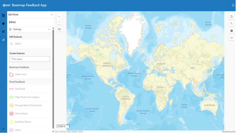
- Provide feedback on locator errors using Esri’s Geocoding Feedback Map to help improve accuracy promptly.
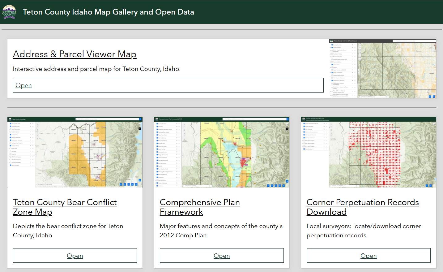
Teton County Idaho Map Gallery and Open Data
The county’s routine contributions to Esri Community Maps not only ensures downstream accuracy for 911 dispatch, but also greatly enhances the the integrity of various important and useful public facing web maps and applications. Click on the image below to view these applications.

Article Discussion: