Esri’s Community Maps and Geocoding Teams have brokered over 16 million unique address points, improving the geocoding experience for everyone.
Key West, Florida address point data was recently added to the ArcGIS Online World Geocoding Service and is already making an important impact.
Wow! This is a massive improvement for anyone searching for, or geocoding addresses within our community.
Improvements include enhanced sub-addressing, building complex details, and many new addresses have been added. Address locations now appear on rooftops rather than along the roadway edges, and mobile home park lot numbers are now included.
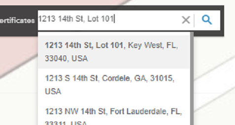
This has enabled the City of Key West to generate a local locator that’s quite handy. When using the city locator, typing in the word ‘lot’ after the street name exposes the lot number options in a dropdown list.
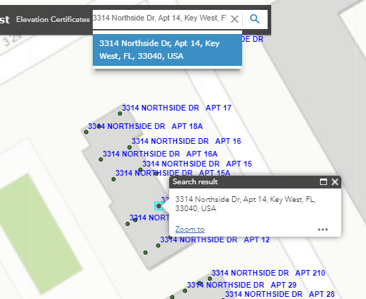
Many building complexes that share a main address have one point for the entire complex accompanied by individual building identifiers. In this example the ‘Northside Dr’ building identifiers aren’t used. Instead, the apartments are numbered consecutively.
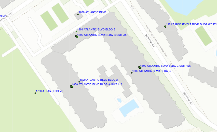
For address ‘1800 Atlantic Blvd’ there is one point for the entire complex, separate points for each building, plus unit identifiers.
As many local governments prepare for the planned decommissioning of legacy 911 services, the City of Key West is closer to being Next Generation 911 (NG-911) – ready when the time comes.
It made sense to translate our current addressing data into a NG-911 format so it would serve the dual purpose of improving Esri’s geocoder, and bringing the city much closer to being NG-911 ready.
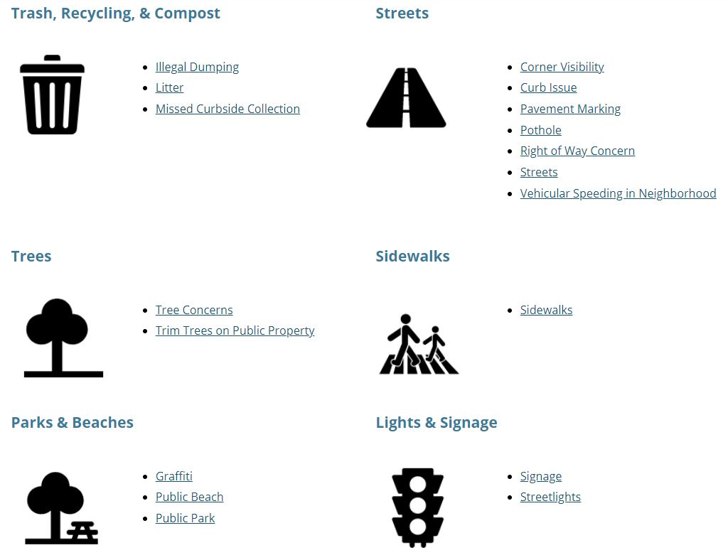
Updating the address point data for the City of Key West will better serve residents and visitors. The City’s Key West Connect app helps residents reach the City online, via their smartphone, or tablet to request services or get help fixing issues. This app will leverage these new and updated addresses, ensuring community service request locations are even more accurate.
Learn more about Esri Community Addresses and how you can share your local knowledge with us.
Esri’s Community Addresses program and the Feedback Map: Enhancing your geocoding experience.
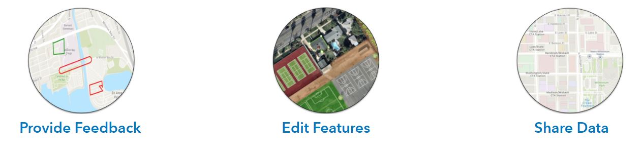
Providing feedback, editing features, and sharing data are all great ways to share your local geographic knowledge. Click on the link below to explore the best sharing workflow for you and your organization.
Join the Community Maps Program


Article Discussion: