The Spatial Analyst extension in ArcGIS Pro 3.1 has new capabilities, as well as improvements in several key areas. This includes an exciting new tool for identifying surface landforms. A new tool that makes finding corridors easier. Improvements for several tools in how they leverage parallel processing and GPUs for better performance. The Suitability Modeler has some internal improvements. Many tools that perform per-cell raster mathematical operations have enhanced support for multidimensional input and output. Read on for more details on these changes.
Where to get it?
ArcGIS Pro 3.1 was released on February 23, 2023.
For a complete summary of all the changes that have been made for this release, have a look at the What’s New in ArcGIS Pro 3.1 topic in the online Help.
What’s changed for Spatial Analyst?
Listed here are the main functional areas that we have improved over the last release:
- Suitability Modeling
- Distance
- Hydrology
- Neighborhood
- Reclassification
- Surface
- Multidimensional
- Deprecated functionality
1. Suitability Modeler
The Suitability Modeler in has under-the-hood improvements in several key areas. When the Auto Calculate option in the Suitability Analysis portion of the ribbon is selected, the recalculation of the model when changes to the transformation or weight of a criterion are applied is improved. Querying, sharing, and saving of models has been enhanced. Some internal changes were made in preparation for a future release, where additional interface elements will give you the capability to evaluate the quality of your suitability model
2. Distance analysis
Least Cost Corridor is a new geoprocessing tool that is used for optimally connecting locations with corridors. This tool leverages recent improvements in distance analysis by incorporating the distortion-free algorithm. It also simplifies the corridor creation process by allowing you to apply a threshold directly, either as a percentage or a specified accumulative cost value, without having to use any other tools. This capability can also be accessed with the Least Cost Corridor raster function.
Update! (April 18, 2023)
Have a look at the following blog post for more details about this capability:
Create a wildlife corridor with the new Least Cost Corridor tool in ArcGIS Pro

For the Distance Accumulation and Distance Allocation tools, the algorithm used for applying horizontal and vertical factors was rewritten to produce non-distorted results instead of being 8-directional. The performance was enhanced, and space optimizations were made when calculating straight-line distance. These changes are also available in the Distance Accumulation and Distance Allocation raster functions.
3. Hydrology analysis
The Derive Stream As Line tool was introduced in Pro 3.0 and is useful for easily generating streamline features from an elevation surface without having to fill in the sinks or other depressions beforehand. For Pro 3.1, the tool now uses the Douglas-Peucker algorithm as the default method to simplify the results. It produces smoother lines by retaining critical points while identifying and removing relatively redundant vertices.
4. Neighborhood analysis
For the Focal Statistics and Filter tools, multiband input is now supported directly in the geoprocessing tool dialog box. (Previously, multiband input was fully supported only when the tools were run in Python scripts.)
5. Reclassification
For the Rescale by Function tool, a new help topic is available that provides more detailed explanations of the formulas used for transformation functions.
The Slice tool now supports the Parallel Processing Factor environment, which can improve performance on large datasets.
6. Surface analysis
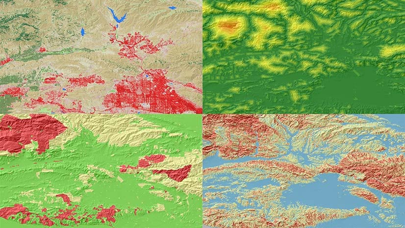
Do you love doing raster surface analysis? Have we got an exciting new tool for you! The new Geomorphon Landforms tool can help you identify and classify landscape features into several common types, such as peaks, ridges, spurs, and foot slopes, among others.
Update! (March 22, 2023)
Have a look at the following blog post for more details about this tool:

For several releases, the Aspect, Geodesic Viewshed, and Slope tools have been able to be GPU accelerated for enhanced performance, provided that your system is equipped with a compatible GPU device. With this release, you can use the new Target device for analysis parameter to specify whether to use the GPU or the CPU, or let the system determine which to use.
With the Aspect and Slope tools, for the Method parameter, the default Planar setting now also supports GPU processing.
The Geodesic Viewshed tool now estimates the amount of temporary space required to complete the calculations, and reports that value at run time as tool messages. Also specified is the directory where the temporary data is written.
The Surface Parameters tool has a new Input analysis mask parameter. You can use it to limit the analysis to locations of interest within the input surface raster. The Parallel Processing Factor environment is now supported, offering enhanced performance. The Surface Parameters raster function also supports the ability to limit the locations analysis will occur with the Analysis mask parameter.
7. Multidimensional analysis
Many Spatial Analyst tools that perform local raster operations now support multidimensional data as input and can create multidimensional output. The following list identifies the improved tools:
- All tools in the Math toolset, except for the three combinatorial tools (Combinatorial And, Combinatorial Or, and Combinatorial XOr)
- All tools in the Local toolset, except for Combine
- The Con tool
- The Raster Calculator tool
A new Usage note was added to the help for each of these tools, providing additional details.
8. Deprecated functionality
As new tools are developed, or existing tools are updated to provide equivalent functionality in a better way, some tools will be put on a pathway to be deprecated. Typically, this means that initially, a notice will be added to a tool, and alternatives methods to migrate to are identified. The tool will continue to be available and operate in the same way for one to three subsequent releases.
After this initial deprecation state, the tool will be moved to a fully deprecated state. It will continue to be installed with ArcGIS Pro, so that your existing models and scripts will continue to work, but the tool will no longer be directly accessible.
For more details on the deprecation process, please see the following topics:
The following tools and functions are still available but have been put on the deprecation path at this release. The alternative functionality that replaces them, by offering improved functionality or performance, are identified.
- The Distance (Legacy) geoprocessing toolset. See the Migrating from legacy distance tools to distortion free distance tools topic for additional details and a table that maps the tools being deprecated to their replacements.
- The Distance (Legacy) category or raster functions is similarly being deprecated. See the Migrating from legacy distance functions to distortion-free distance functions topic for details on the replacement functions.
- The Extract by Points and Extract by Polygon tools. The capabilities of these tools is replaced by the Extract by Mask tool, which was enhanced in a previous release with new parameters for controlling where the extraction takes place (Extraction Area) and the extent of the output raster (Analysis extent).
Summary
We hope your work will benefit from the new and improved capabilities that come to the Spatial Analyst extension in ArcGIS Pro 3.1. We will also have some additional blogs coming soon with more details.
Remember to drop by the Spatial Analyst Communities page where lots of good questions are asked and answered!
https://community.esri.com/t5/arcgis-spatial-analyst/ct-p/arcgis-spatial-analyst


Commenting is not enabled for this article.