June 2, 2026 | Multiple Authors
|
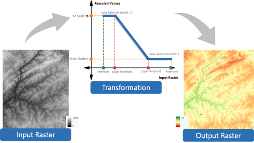
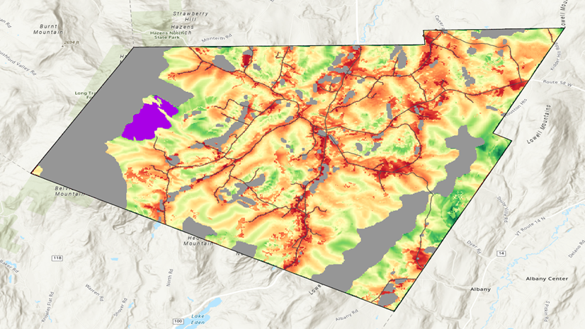
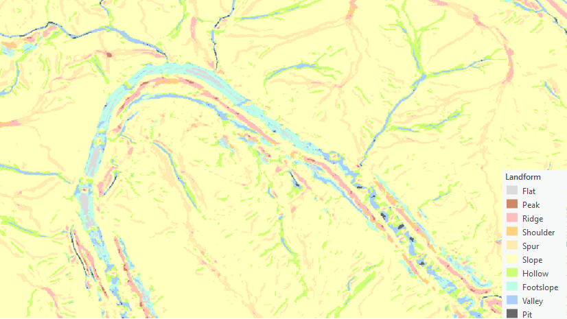
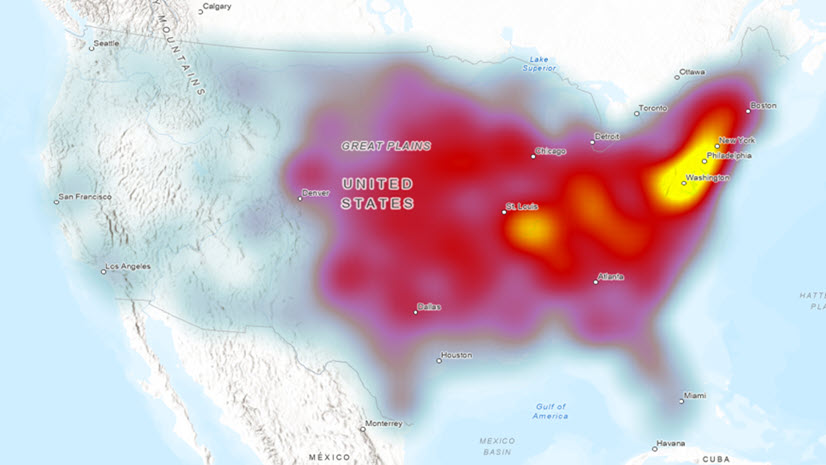
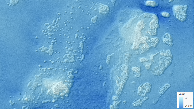
This blog introduces the new Surface Area Ratio tool in ArcGIS Pro 3.7.