GIS analysts supporting architecture, engineering, construction, and operations (AECO) need to work with engineering information without spending time on data preparation and conversion. ArcGIS Pro brings BIM and CAD together with GIS, making it easier for teams to visualize projects in context, perform geospatial analysis, and collaborate on decisions throughout the infrastructure lifecycle.
Release highlights
This release expands support for linear infrastructure workflows, reduces repetitive configuration tasks for Building Layers, and improves performance when working with BIM content. Together, these enhancements give GIS analysts more opportunities to cultivate a shared understanding of projects in real-world context.
Expanded support for linear infrastructure workflows
Transportation and infrastructure projects often involve content authored across multiple engineering systems. For example, GIS teams need to understand how roadway, rail, bridge, and site design information relates to one another within the broader project context.
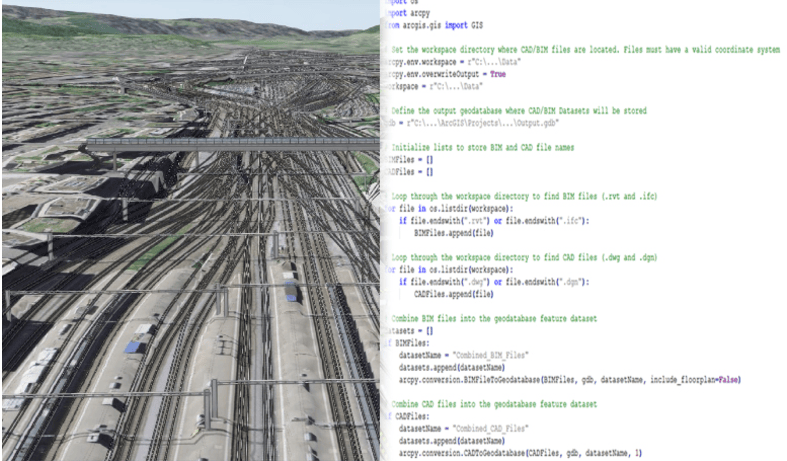
This release broadens support for linear infrastructure workflows by providing access to alignments, profiles, station equation information, and TINs from OpenRoads™ Designer. GIS analysts can combine these with engineering content from Autodesk® Revit®, Civil 3D®, and other design formats to better understand relationships across project sites.
Configure Building Layers more efficiently
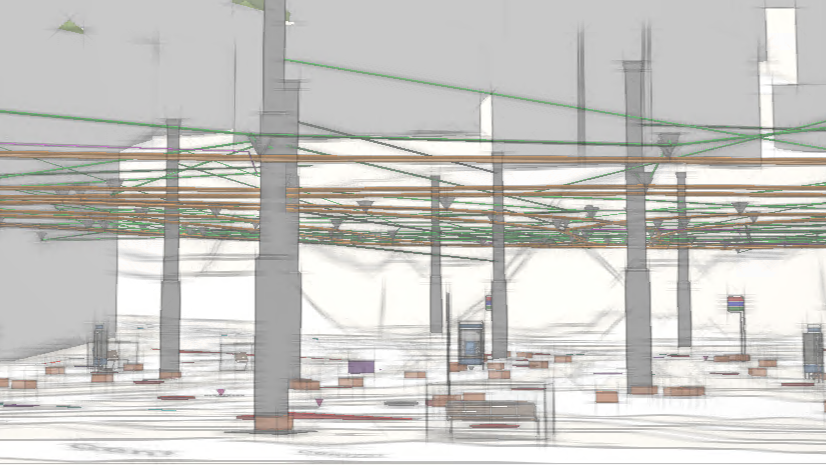
Building layers contain dozens of component layers representing architectural, structural, mechanical, electrical, and other disciplines. Configuring those layers for a specific workflow can require repeating the same changes for each layer.
This release introduces the ability to propagate layer properties, reducing repetitive configuration work while maintaining consistency across complex BIM datasets. After configuring fields, time settings, and definition queries on a layer, you can apply those settings across the building layer or a discipline of interest.
Control graphical detail when working with content from Revit
Working with detailed BIM content requires balancing visual fidelity with performance. This release increases performance when working with BIM content and introduces new controls for setting the graphical level of detail.
Choose from Fine, Medium, or Coarse levels of graphic detail when working with Revit models. You can take advantage of this setting when creating GIS content from BIM data. It also complements broader performance improvements for BIM workflows and can help reduce the size of GIS content when lower levels of detail are appropriate for the intended audience and use case.
BIM and CAD data continue to play a critical role in how organizations plan, design, construct, and operate infrastructure. By reducing manual configuration effort, improving performance, and expanding support for transportation workflows, ArcGIS Pro helps organizations bring engineering information into GIS faster, enabling richer analysis, better collaboration, and more informed decision-making.
Ask the ArcGIS experts
Reach out to the ArcGIS Pro product team with ideas and questions for BIM and CAD integrations. Ask questions and contribute to discussions with other users in the Esri Community. Share your product ideas for future capabilities and enhancements.
Get started with ArcGIS Pro today.



Commenting is not enabled for this article.