There was a time when a cartographer would roll up their sleeve, dip their quill, and breathe topographic life onto a parchment. And that time is now! Download this ArcGIS Pro style to get hachure mapping in no time!
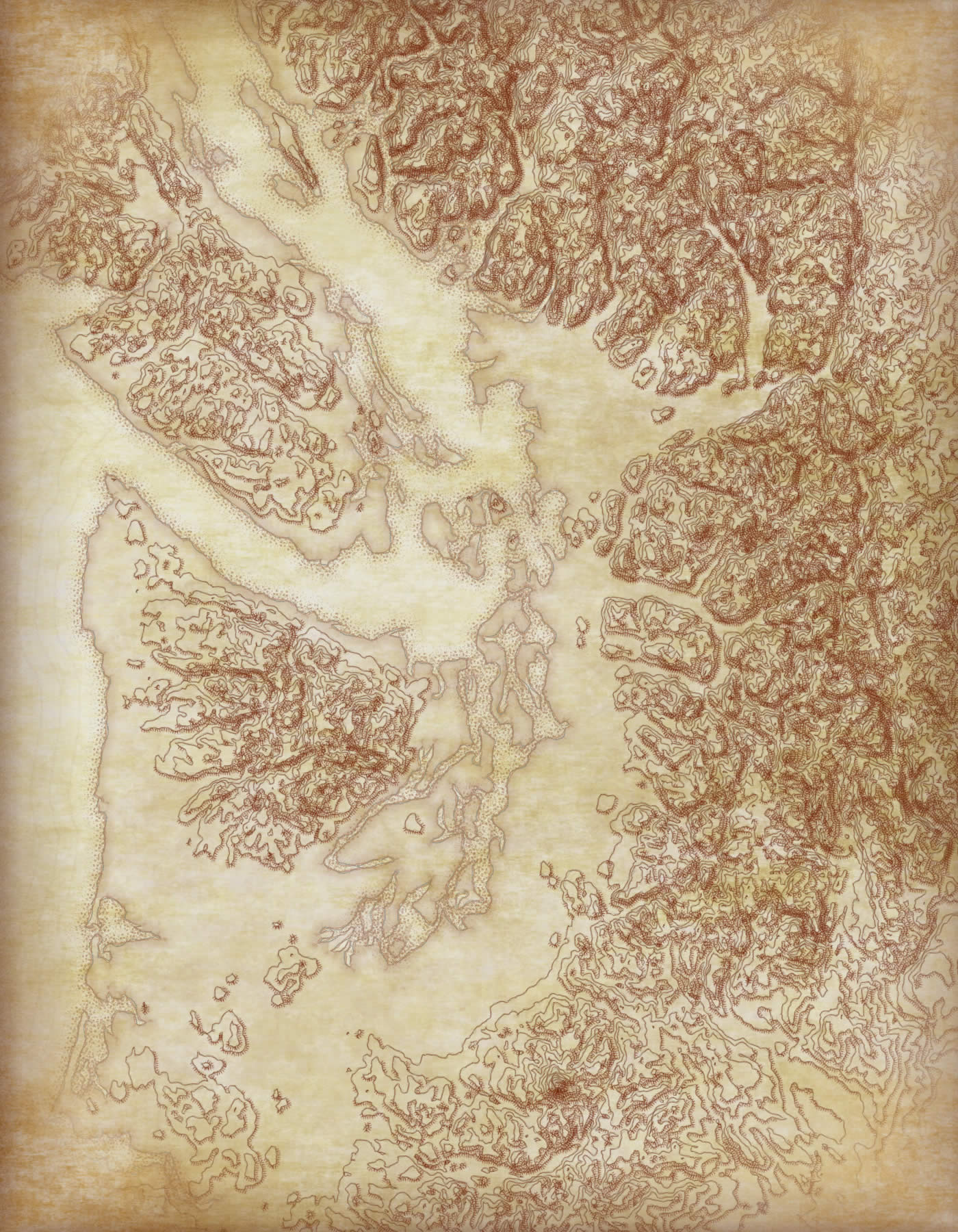
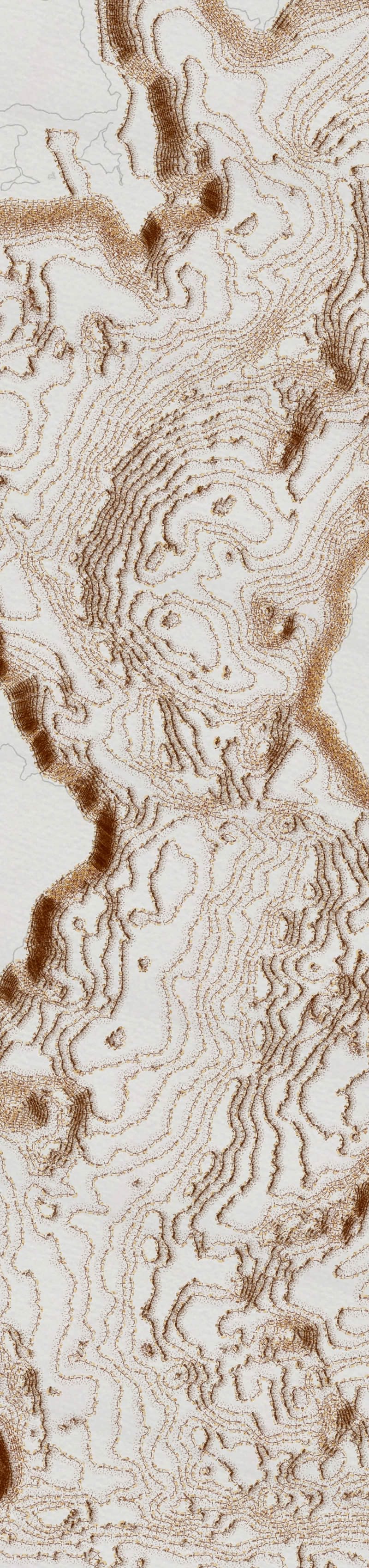
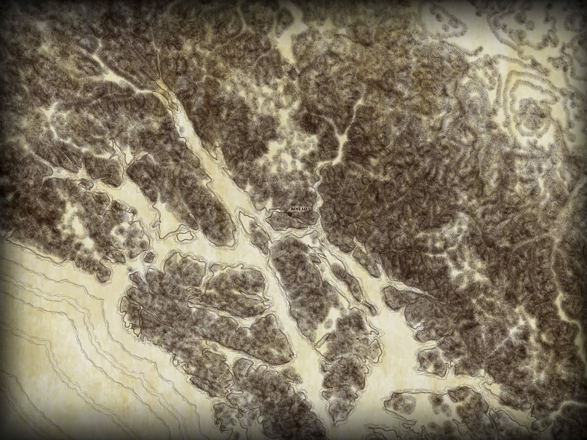
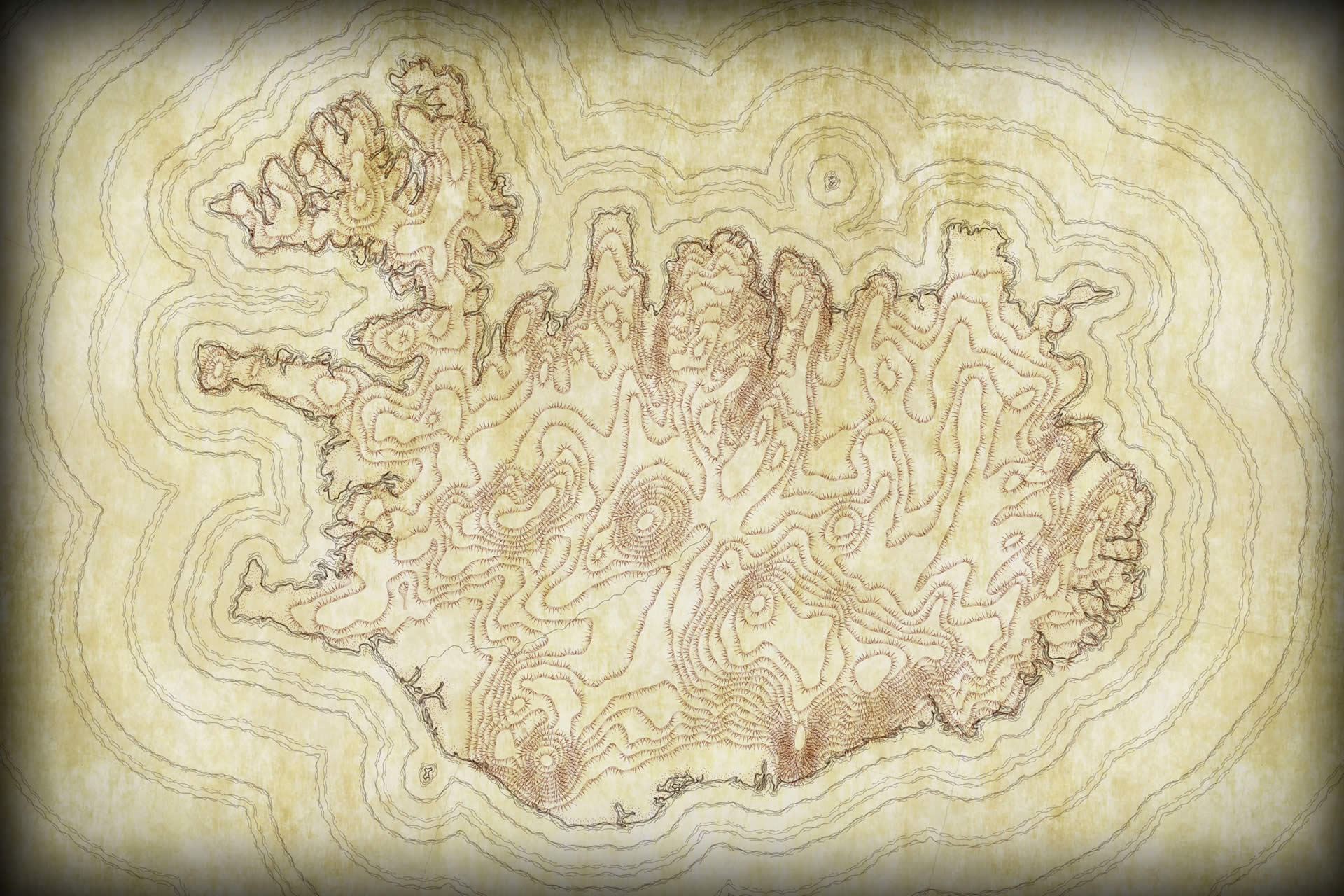
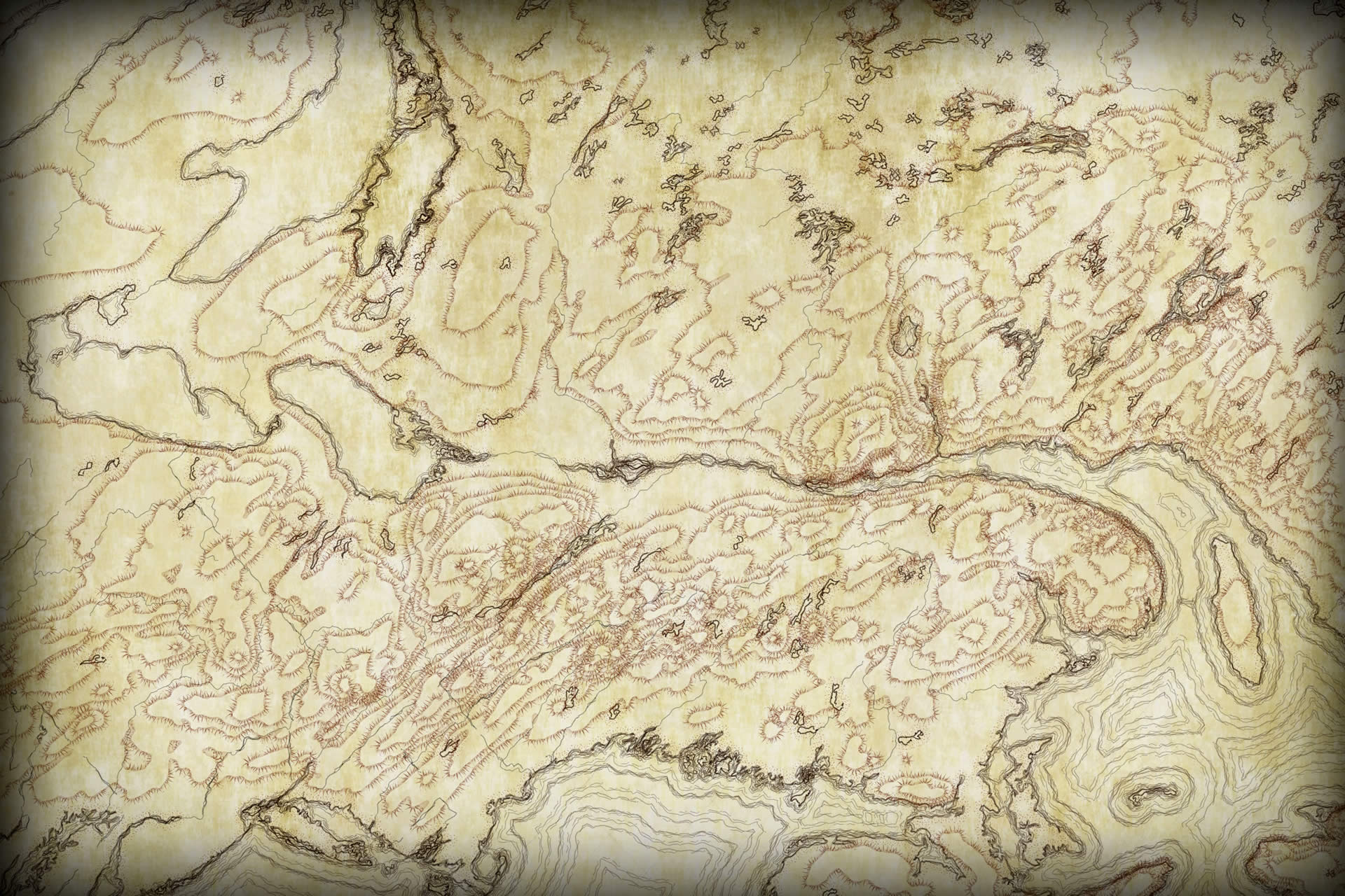
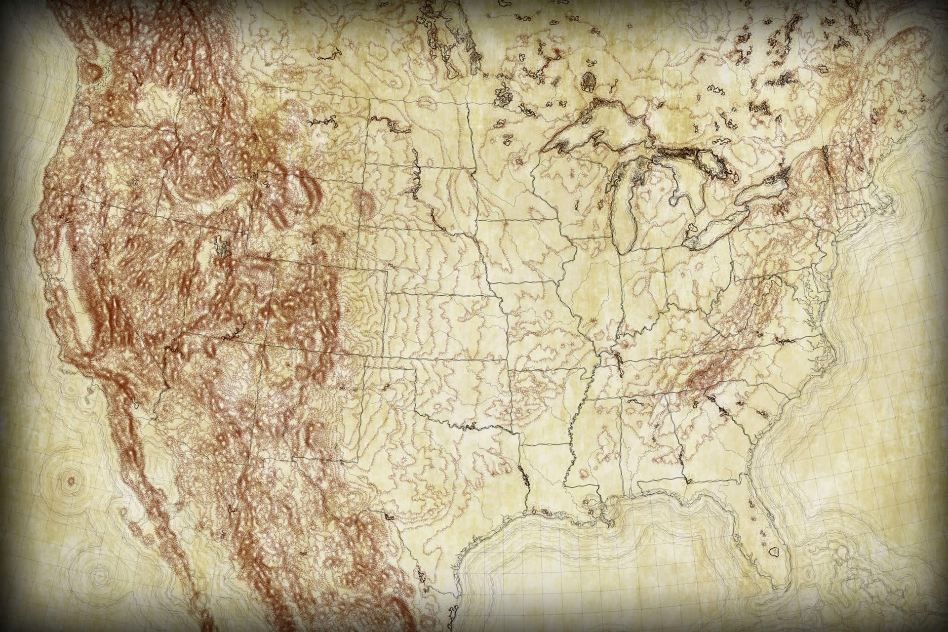
What is a hachure? Well, my friend, you are in the right place. Settle into your dimpled leather chair . Draw your whale oil lamp close and adjust your monocle. A hachure is a means of sketching downhill lines along elevation contours to create a rich pseudo-realistic topographic texture to a map, often used for field sketches of general topography but sometimes for richly precise surveyed maps too. The lines do a great job of indicating slope (wow those mountain line-things are really packed in there!) and aspect (ah, that’s the way this slope is facing) and, let’s be honest, they do a great job of looking cool. When coolness and practicality converge, then you know you are on to something.
Hachures also help overcome relief inversion, or just the general I-can’t-tell-if-this-is-a-hill-or-a-depression-ism, that can sometimes plague standard (unhached) contour lines. The hachures tell us which way is up. Which I often need.
Here’s an example showing the floor of the Atlantic, in the “rubble” style over archival cotton paper.
Ok, if you need any more justification for the scientific and artistic prowess of hachures than you’ll have to find inspiration elsewhere. It’s all examples and links from here on…
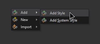
Here is the ArcGIS Pro style used to render these hachure maps. Save it to your machine (it will have a .stylx extension), then in your Pro project’s Catalog view or panel, choose the “Styles” folder. Then right-click and choose “Add Style” then point it to the stylx file you saved. Thereafter it will be available in the Gallery view of your symbology panel (giving you point, line, or polygon hachure styles depending on what sort of feature you have selected).
Some other companion resources…
- Andy Woodruff at Axis maps has created an amazing resource that lets you define and download contour lines for anywhere on earth. Pretty awesome. You can crank out some cool contour raw-material there. Then hachure them up in Pro with the hachure style.
- If you have a DEM that you are working with, you can generate contours using the Contours tool in Spatial Analyst. If you want them to be smoother and more rounded, first run the Focal Statistics tool to smooth the DEM, then trace contours.
- Once you find yourself neck-deep in hachure maps, you are probably going to want a stylistically appropriate font to label them. Check out this sweet throwback font that Warren Davison made for everybody.
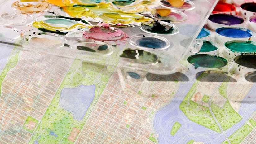
- You might enjoy using this hachure style in conjunction with the watercolor style. Check that out here.
- Waterlines pair well with this style, if I may be so bold.
- You may notice some of these maps have faded edges. How can you do that? Steal these vignettes!
Happy Hachure Mapping! John Nelson


Commenting is not enabled for this article.