-
-
-
-
June 23, 2022
| Multiple Authors
|
Announcements
-
-
June 22, 2022
| Deane Kensok
|
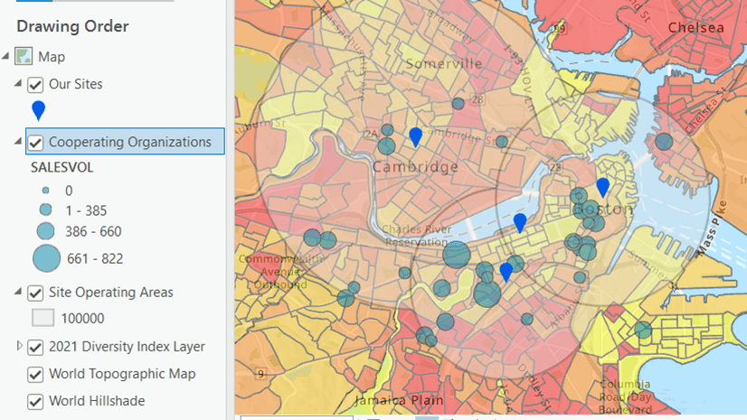
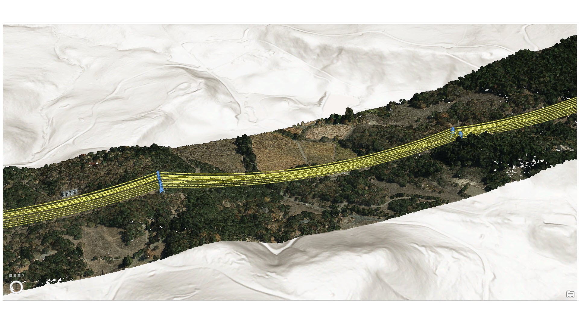
Mapping
-
June 22, 2022
| Jonah Lay
|
Mapping
-
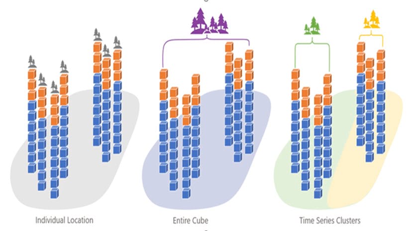
June 22, 2022
| Jian Lange
|
Analytics
-
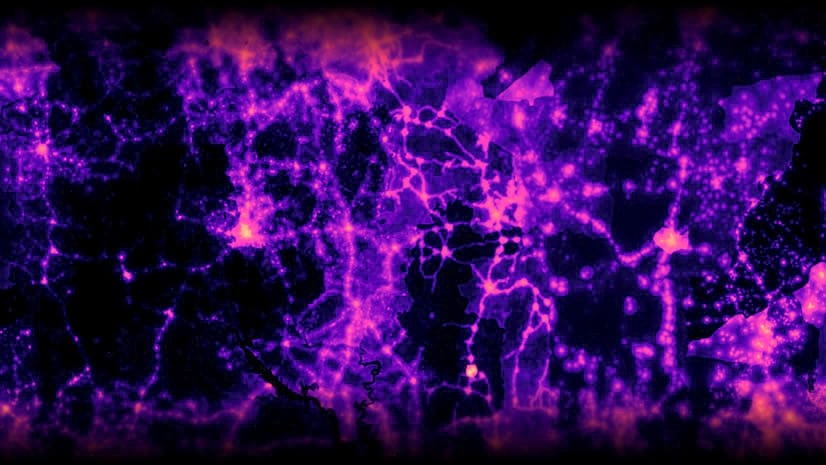
June 22, 2022
| Multiple Authors
|
Imagery & Remote Sensing
-
-
June 20, 2022
| Multiple Authors
|
Electric & Gas Utilities
-
June 17, 2022
| Darren Cook
|
Business
-
June 16, 2022
| Multiple Authors
|
Analytics
-
June 16, 2022
| John Nelson
|
Mapping
-
-
-
June 15, 2022
| Savannah Roth
|
Announcements
-
-
-
June 7, 2022
| Savannah Roth
|
Announcements
-
-
May 27, 2022
| John Nelson
|
Mapping
-
-
opens in new window