The 2026 ArcGIS StoryMaps Competition opened in September with a question: How do you use maps and GIS in the bold pursuit of a better world?
In less than two months, we’ve received story submissions from students and professionals in over 20 countries and in nine languages. Those stories fall evenly into our four competition categories, with the most submissions in “Designing a better future.”
Haven’t started your story? Still crafting the narrative and maps? No problem — we’ve got you covered. Read the recent post, Your guide to entering the ArcGIS StoryMaps Competition, for important competition rules and storytelling tips.
And get advice from this year’s competition judges: Karina Amalbert, Véronique Couttee-Jenkins, Dr. Dawn Wright, Charlie Mix, and Lauren Tierney.
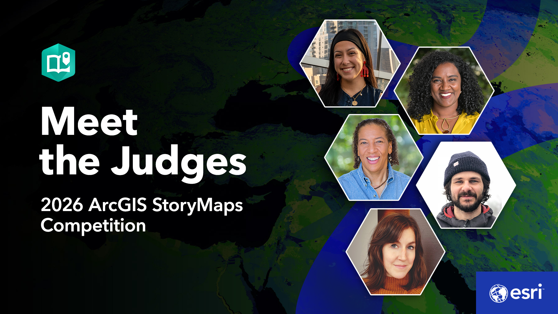
We asked each guest judge four questions:
- What’s your advice for telling a geospatial story?
- Whose work inspires you?
- From among your projects, do you have a favorite?
- Why should individuals and organizations enter the competition?
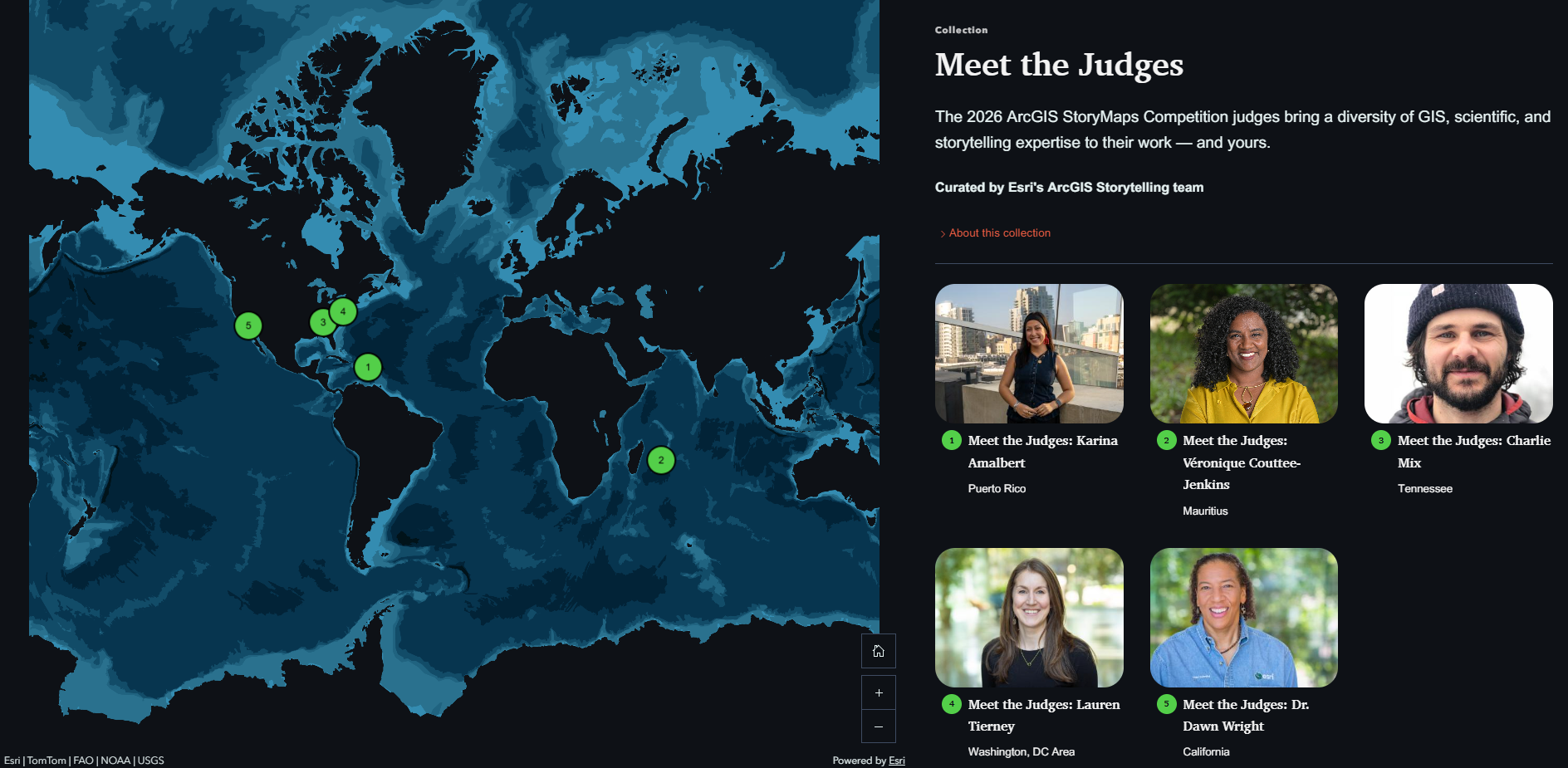
We’ve dropped their answers and fun biographical information into ArcGIS StoryMaps frames for short-form stories about each judge. Read them all in our Meet the Judges collection.
Get started with a snapshot of the judges below.

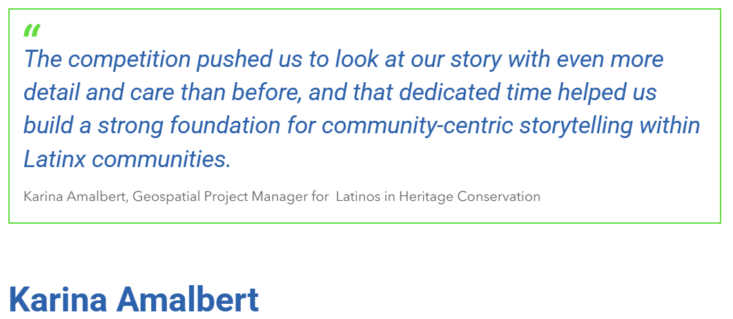
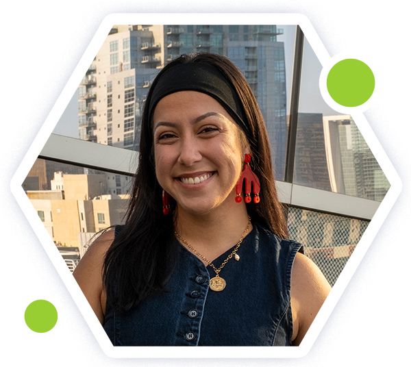
Karina Amalbert is the Geospatial Project Manager for Latinos in Heritage Conservation, where she leads the Abuelas Project’s online GIS platform, manages a growing digital archive, mentors emerging fellows, and builds strong, meaningful connections with communities.
With a background in urban planning and a passion for sociology, economics, and cultural geography, Karina uses innovative mapping tools to uplift and preserve Latino heritage.
She and the Latinos in Heritage Conservation group won the 2024 ArcGIS StoryMaps Competition in the Humanities and Popular Culture category for their inspiring historical story Braceros Across the United States – Mexico Border.
Read and share Karina’s story.
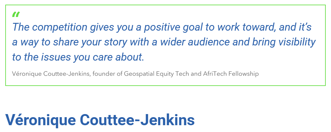
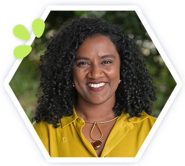
Véronique Couttee-Jenkins, a Creole Mauritian woman, is a leadership, impact, and equity specialist. She founded Geospatial Equity Tech and the AfriTech Fellowship to apply spatial thinking and geospatial technology to social and environmental advocacy.
Through the AfriTech Fellowship, Véronique equips womxn from Africa and of African descent with skills in spatial technology, inclusive leadership, project management, and wellness. It has grown into a broader network supporting womxn in tech and innovation across the continent. Over 30 fellows have completed the program to drive digital transformation in their communities.
Read and share Véronique’s story.
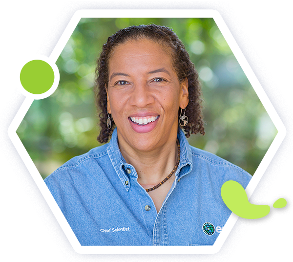
Dr. Dawn Wright, the Chief Scientist of Esri, is a specialist in marine geology, geography, and oceanography.
To many, she is Deepsea Dawn — a name earned after completing numerous trips to the bottom of the ocean. Dawn made history in 2022 when she became the first Black person to visit Challenger Deep, the deepest and most unexplored place on Earth — a trip that took her over 10,000 meters beneath the Pacific Ocean’s surface.
Dawn works to strengthen the scientific foundation for Esri’s products and services. She led the team that created the Ecological Marine Units (EMUs), a 3D digital ocean that creates better understanding of marine environments and how to plan for more sustainable activities there in the wake of climate change.
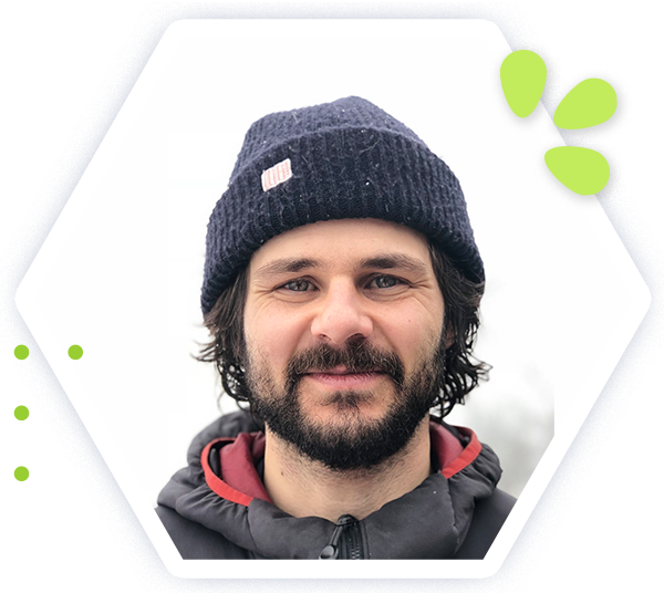
Charlie Mix serves as GIS Director at the University of Tennessee at Chattanooga (UTC) and is the founding director of UTC’s Center for Applied Geospatial Data Science.
Charlie is a geospatial data scientist, cartographer, and educator who is passionate about storytelling through maps and advancing spatial thinking to support a more sustainable world. His work emphasizes impactful, real-world learning opportunities that connect students with meaningful community challenges.
Charlie and his team at UTC won the Storytelling with Maps Innovation Award in Esri’s 2025 ArcGIS StoryMaps Competition for Mapping Chattanooga’s Urban Forests: Using GeoAI to Find the Best Places to Plant 5000 Trees for the Chattanooga Tree Project.
Read and share Charlie’s story.
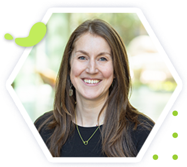
Lauren Tierney is the Senior Product Manager of Mapping and Cartography at Esri.
Before joining Esri, Lauren worked as a cartographer for The Washington Post and National Geographic. She has a masters degree in geography from the University of Oregon.
Lauren enjoys telling stories with maps and specializes in mapping environment, climate, wildlife, and adventure topics.
Read and share Lauren’s story.
A sincere thank you to the 2026 ArcGIS StoryMaps Competition judges for sharing their time and expertise with our global geospatial storytelling community.
Browse our Meet the Judges collection to read their stories and advice — all in one location.
Submit your story to the 2026 ArcGIS StoryMaps Competition by December 11, 2026, to become a Storyteller of the Year! We can’t wait to see what you create.
Commenting is not enabled for this article.