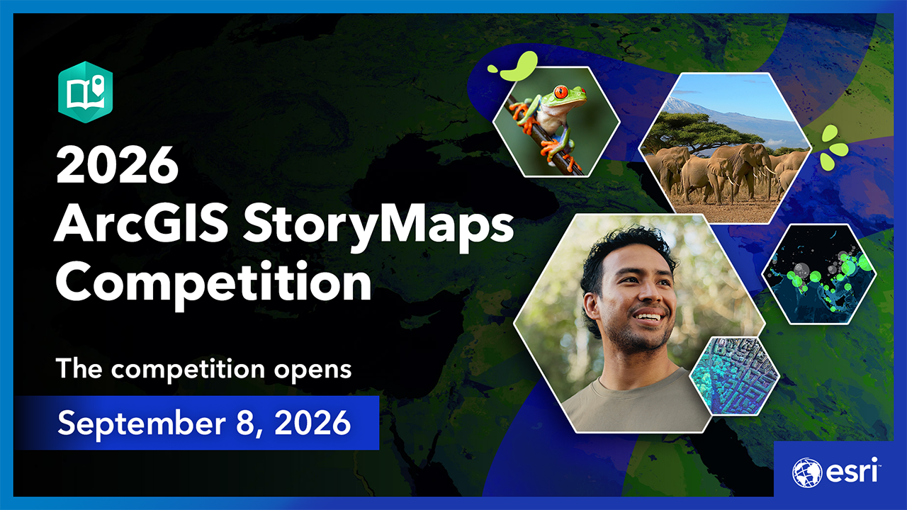
The wait is over. The 2026 ArcGIS StoryMaps Competition is now open.
Join storytellers from around the world to reveal hidden patterns, challenge assumptions, plan for the future, or help make sense of complexity. This is your opportunity to showcase your work — and demonstrate how GIS can drive meaningful action.
Keep reading to learn more about this year’s theme.

Maps are for the bold.
Bold is the urban planner who refuses to believe “that’s just the way cities are.” It’s the disaster response team that refuses to leave anyone behind. It’s the leader who acts with clarity — and insight — instead of impulse.
Bold makes the world better.

Better is what we all want. For ourselves, for our organizations, for our communities.
How do you use maps and geospatial tools to pursue the better in your community — and beyond?

Esri invites you and storytellers worldwide to submit a geospatial story through one of four categories — in a professional or student track.
Seeing What Others Missed: Where mapping revealed an unexpected pattern or insight
Refusing the Status Quo: Where maps helped challenge “the way it’s always been done”
Designing a Better Future: Using geography to anticipate, test, or prepare for what’s next
Acting with Clarity in Complexity: Where maps helped leaders make deliberate, informed decisions under uncertainty
The 2026 ArcGIS StoryMaps Competition closes on December 11, 2026.
Find more competition details including eligibility, recognition, and timeline in our competition story.
Find creative inspiration and learning resources for creating compelling geospatial stories at our competition hub.

And this year, there’s a new way to hone your storytelling skills for the competition.
Build a story with us — step by step.
The ArcGIS Storytelling team is hosting a 2026 ArcGIS StoryMaps Live chat series — Build a story with us — in which we create a new food access story from start to finish in four consecutive chats.

From August through November, each of the four one-hour chats will cover one phase of the geospatial storytelling process.
- August 12: Finding the story in your information
- September 9: Adding Living Atlas content for geospatial storytelling
- October 14: Assembling and theming the pieces of your story
- November 10: Putting the finishing touches on your story
The team — and guest subject matter experts — will share techniques, best practices, and takeaway resources to help you create a winning story.
And no, these live chats aren’t just for competition entrants! It’s a chance for any storyteller or GIS professional to learn more and build valuable communication skills.
Register for the 2026 ArcGIS StoryMaps Live chats.
Are you a Storyteller of the Year?
Visit the 2026 ArcGIS StoryMaps Competition website to get started.
We can’t wait to see what you create.



Commenting is not enabled for this article.