Happy Earth Day!
Esri’s ArcGIS StoryMaps and Living Atlas of the World teams joined forces to co-host the 2025 ArcGIS StoryMaps Competition, inviting storytellers from around the world to submit stories in one of three categories: Environment, Infrastructure, and People.
The challenge?
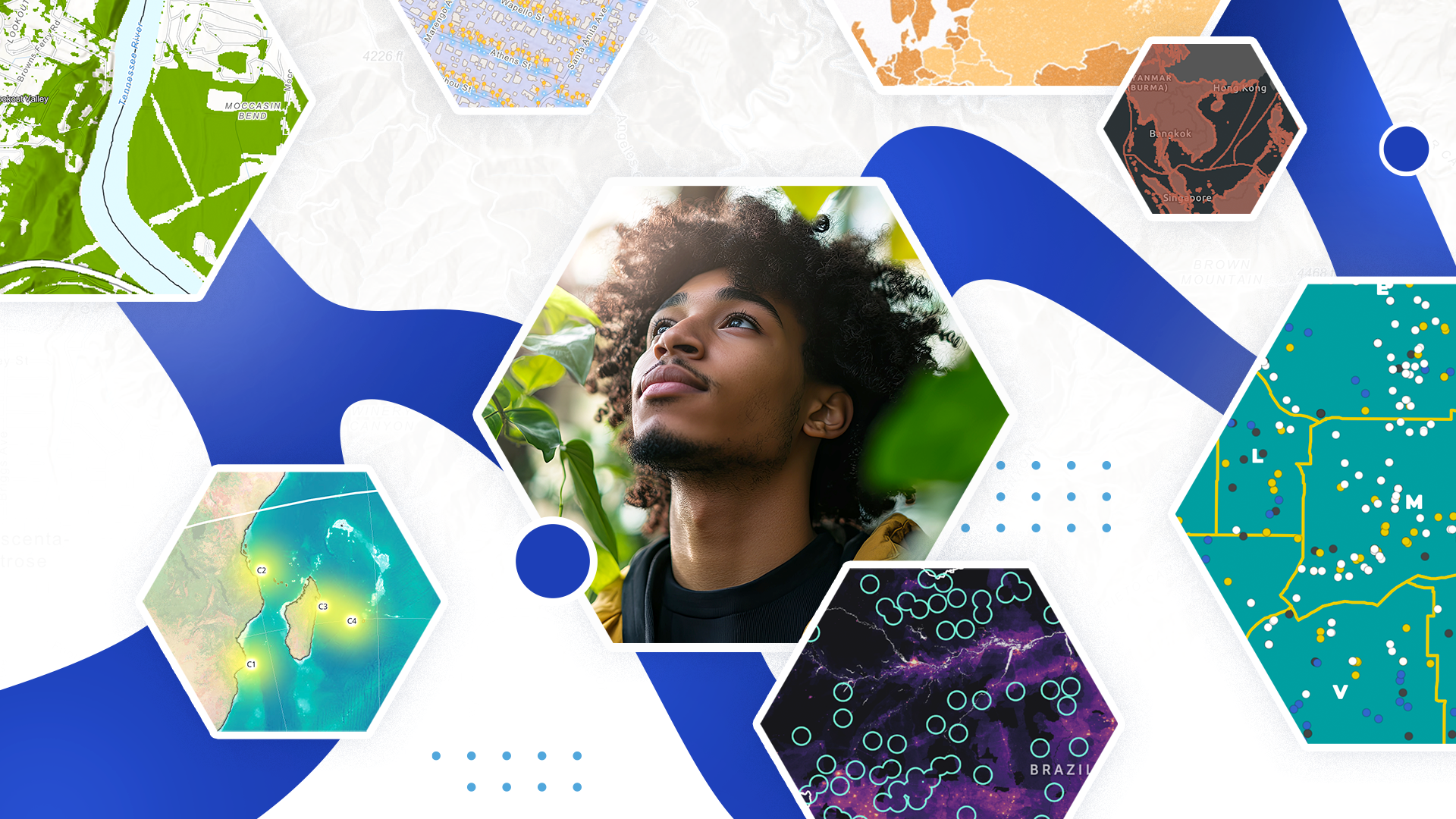
Use Living Atlas content — from data layers and satellite imagery to 3D basements and deep learning packages — to tell a geospatial story.
We are honored to celebrate submissions from 55 countries and in 14 languages — and are excited to announce the category winners selected by our panel of dynamic guest judges, along with three special awards from the Living Atlas and StoryMaps teams and a community choice!
Ready to learn about the winning stories? View the video below, check out the 2025 ArcGIS StoryMaps Winners collection, or —
Join Karina Amalbert, 2024 ArcGIS StoryMaps Competition winner and a guest judge for our 2025 competition, as she shares her experience and perspective on this year’s winning stories.
Take it away, Karina!

Being a winner of the 2025 ArcGIS StoryMaps Competition is much more than a title; it is an invitation to push innovation and ensure we portray stories with heart and resilience. As a 2024 ArcGIS StoryMaps Competition winner, I can tell the 2025 winners that you are about to see a spike in views — if you haven’t already — and this is not something to take lightly.
Your story matters. Our stories matter. This year, each of you showed us how important it is to combine storytelling with a call to action — a call to continue the hard work of preserving and conserving our spaces. StoryMaps is a tool that allows us to visualize complex and often underrepresented stories, and it is our responsibility as storytellers to keep pushing the geospatial field forward.
Across the Environment, Infrastructure, and People categories, each winner demonstrated the responsibility inherent in geospatial storytelling and the interwoven relationship between technology and the voices of our communities. Whether focusing on humpback whales or the economic burdens of sandwich generations, each story reminded us that narratives are only as powerful as our commitment to ensuring all audiences can access them.
From the judges and the global StoryMaps community, thank you for sharing your stories and allowing us to celebrate you as the 2025 ArcGIS StoryMaps Competition winners!


Winner: A Fight for Survival: Isolated Indigenous Peoples of South America by The International Working Group on Indigenous Peoples in Isolation and Initial Contact
A Fight for Survival reminds us of a crucial concept in storytelling: scale. The resistance of Isolated Indigenous Peoples of South America is skillfully conveyed through rich, dynamic maps that illustrate the interrelated relationship between their existence and the conservation of the region’s biodiversity. The reader’s attention remains anchored on South America as the map stays fixed while the data changes. This approach demonstrates how rooted-in-place maps can still be dynamic, effectively communicating the impact of data — in this case, the threats facing Isolated Indigenous Peoples.
Geospatial storytelling concepts that this story excelled in:
- Map scale and extent
- Call to action
- Story length
- Multiple languages
- Visual design

Student Winner: The Migration of Humpback Whales by Ravyn Veenstra, McMaster University
What happens when we map the migration of humpback whales? A beautiful, rich, and rigorous story by Ravyn Veenstra shows how the StoryMaps builder can be used in nontraditional ways — such as employing timelines as narrative dividers — to enhance the flow of text and engage users through new visual forms. Instant Apps are incorporated to encourage continued engagement with data without overwhelming the story with extended text. The result is an exemplary model of intentional design choices that invite users into a truly immersive experience.
Geospatial storytelling concepts that this story excelled in:
- Creative use of builder features
- ArcGIS app integration


Winner: The Pacheco Pass Wildlife Overcrossing Project by Ian Redding, Mark Thomas Engineering
F387 reminds us that not all storytellers are human; animals, too, can — and often do — tell powerful spatial stories when we view the world from their perspective. Who tells the story fundamentally shifts the narrative, allowing readers to connect more deeply and understand how our built environment impacts species beyond ourselves.
The Pacheco Pass story brilliantly centers wildlife — specifically F387 and their animal counterparts — as the storytellers, carrying the voices of wildlife and ensuring they are seen and heard. Paired with sophisticated and comprehensive maps of the highway, the story calls on geospatial storytelling to ethically represent the lives and experiences of non-human communities. From its compelling narrative to its balanced visual design, this story was a favorite among the judges.
Geospatial storytelling concepts that this story excelled in:
- Visual design
- Map design
- Narrative structure

Student Winner: From Ashes to Action: Documenting Altadena’s Water Infrastructure Revival by Juan Sebastian Cortes, University of Southern California, Los Angeles
From Ashes to Action, from conception to execution, this story is a compelling demonstration of how digital platforms can enhance community sustainability. From archival images to user-friendly platforms that support FEMA and state funding applications, the project impressed the judges with its ability to showcase how geospatial tools must be integrated into the future resilience and sustainability of communities.
Geospatial storytelling concepts that this story excelled in:
- Attention to detail
- Narrative structure
- Geographic approach


Winner: Dear Diary, Adulting Just Got Too Expensive by Azah Yamin
Dear Diary, I think I just got called a sandwich? What’s not to love about this story?! From incredible animations to transforming complex data into something deeply personal, and an embedded survey inviting readers from around the world to share their own “sandwich,” this story pushes the use of StoryMaps to new creative heights. It is truly a story that might — and possibly already has — shifted the field of geospatial storytelling.
Geospatial storytelling concepts that this story excelled in:
- Visual design
- Story length
- Narrative structure
- ArcGIS app integration

Student Winner: NPU Voices in Action: How Atlanta’s Neighborhood Planning Unit System Shapes Planning & Engagement by Grace Jia Liu, Georgetown University, and T’Ajahanae Jones, Xavier University
NPU Voices carefully guides readers through the importance of centering community voices in the planning of their neighborhoods, using powerful visuals and a strong narrative rooted in existing efforts. Praised as a model for how cities around the globe can learn from one another to foster strong community engagement, the story stood out for its thoughtful design choices, including clean pop-ups within map layers and intuitive navigation throughout its map tours.
Geospatial storytelling concepts that this story excelled in:
- Map design
- Visual design
- Story length
- Community voices

In addition to these competition category winners, Esri’s ArcGIS StoryMaps and Living Atlas teams and our storytelling community selected three stories to receive special awards.

Storytelling with Maps Innovation Award
The Storytelling with Maps Innovation Award, presented by Esri’s StoryMaps team, recognizes excellence and creativity in leveraging the ArcGIS StoryMaps features and integrating GIS products into a story.

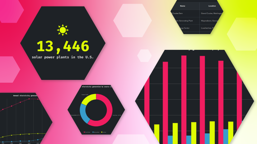
Mapping Chattanooga’s Urban Forest: Using GeoAI to find the best places to plant 5000 Trees for the Chattanooga Tree Project by Charlie Mix, University of Tennessee at Chattanooga GIS Director
Esri’s StoryMaps team was impressed by the complex geospatial work undertaken by the Chattanooga Tree Project team, as well as their effort to craft a narrative that helps readers understand these advanced workflows. The project team further enhanced readers’ ability to follow along by using a variety of ArcGIS StoryMaps features — such as the swipe block, charts, and web maps — to visually and interactively support their narrative.
Cooper Thomas, a Content Strategist on Esri’s StoryMaps team, had this to say about Mapping Chattanooga’s Urban Forest:
This piece succeeds on multiple levels. Building accurate, reliable analytical pipelines is challenging enough; translating those workflows into a narrative that is engaging, intuitive, and coherent is even more difficult. By pairing cutting-edge, AI-powered analysis methods with best practices in digital storytelling, this story shows how complex spatial analysis can be communicated with both rigor and clarity.
Overall, this story is an exemplary synthesis of innovation and storycraft — one that sets a high bar for communicating complex workflows to broad audiences.
Living Atlas Innovation Award
The Living Atlas Innovation Award presented by Esri’s ArcGIS Living Atlas of the World team recognizes excellence and creativity in showcasing the latest ArcGIS mapping and analytical capabilities and demonstrates how innovative tools and techniques can elevate storytelling and spatial insight.

Connections to Long Island Sound: Exploring the land and people in the Long Island Sound Watershed by Emily Wilson and Cary Chadwick, University of Connecticut, Center for Land Use Education and Research
Jim Herries, Senior Principal GIS Engineer, GIS Engineering Lead, Cartography for ArcGIS Living Atlas of the World, had this to say about Connections to Long Island Sound:
The authors incorporated sources found in Living Atlas with other sources to introduce the reader to Long Island Sound. The story showed how they derived information from the maps to explain what Long Island Sound means from various perspectives. The map orchestration supported the text, helping the reader see what is discussed. You can tell the authors were in pursuit of the meaning behind the data.
Lisa Berry, Principal GIS Engineer and ArcGIS Living Atlas Evangelist, had this to say about Connections to Long Island Sound:
The customization of the Living Atlas content shows that this finalist understood the power of what is possible with ready-to-use content at their fingertips because they made it their own.
Community Choice Award
From February 10 to March 10, nearly 8,000 people from around the world cast their votes for their favorite story — and based on the number of votes, the winner of the 2025 Community Choice Award is…

Ceará Green Hydrogen Platform by Ceará Industry Observatory in Brazil
While we can’t speak on behalf of the community’s votes, the StoryMaps team was equally impressed by this story’s attention to detail — such as its custom theme and visually cohesive infographics — along with a narrative richly supplemented with web maps and a culminating map tour.

Now that we have showcased our incredible 2025 ArcGIS StoryMaps Competition winners, it’s time for me to pass the torch to this year’s competition participants — those who will demonstrate how geospatial tools can be used to elevate voices. As we enter a new year of celebrating these remarkable stories, I strongly encourage you, our reader, to consider submitting your work to the 2026 ArcGIS StoryMaps Competition.
Over the years, the ArcGIS StoryMaps team and judges have been continually inspired by the creativity and thoughtfulness of the submissions, and we know there are even more stories waiting to be told. Soon, it will be your turn to showcase why your story matters — and when that time comes, we’ll be here to celebrate and thank you for telling it.
Happy storytelling,
Karina
Are you ready to become our next Storyteller of the Year?
Visit the ArcGIS StoryMaps Competition website on July 13, 2026, to discover the new competition theme and get started.


Commenting is not enabled for this article.