As the Esri Partner Conference and the Esri Developer Summit rapidly approach, we want to share a focused agenda related to our real-time GIS and big data products – ArcGIS Velocity and ArcGIS GeoEvent Server.
Esri Partner Conference (March 10-11) | Palm Springs, CA
Maximize your partner opportunities and learn about the latest product information
The Internet of Things (IoT) requires a significant spatial component to analyze and display real-time data from sensors, devices, and social media feeds. Using Esri’s location-powered analytic tools can provide new business opportunities with customers who need real-time monitoring and big data analytics to make critical business decisions.
The Esri partner ecosystem can leverage ArcGIS technology for real-time workflows in a few different ways:
- Extending the capabilities of Velocity or GeoEvent
- Offering solutions with embedded ArcGIS capabilities
- Serving out real-time content or data
- Providing consulting or implementation services
Attend the below session to learn more about these opportunities.

Real-Time Partner Strategies
Monday, Mar 11 | 3:00 PM – 4:00 PM PDT | Pasadena | Renaissance Hotel
Learn how using Esri’s location-powered analytic tools can provide new business opportunities with customers who need real-time monitoring and big data analytics to make critical business decisions
Speakers: Hayley Miller, Product Manager, Esri | Russell Sands, Sr. Solution Engineer, Esri | Chris Kochanny, CEO, Vectronic Aerospace
———————————————————————————————————————————————
Esri Developer Summit (March 12-15) | Palm Springs, CA
Join a global developer community to learn how to build cutting-edge apps using advanced mapping technology.
At the Esri Developer Summit, developers can expect to learn how to extend and expand real-time workflows within ArcGIS technology. Attend the following sessions to:
- Quickly leverage real-time data feeds
- Build custom expressions for real-time geofencing
- Add your own connectors to receive and send new streams
- Custom Data Ingestion with gRPC and HTTP
- Serve real-time data to ArcGIS client apps via ArcGIS Stream Services
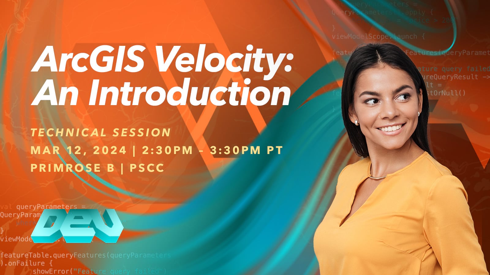
ArcGIS Velocity: An Introduction
Tuesday, Mar 12 | 2:30 PM – 3:30 PM PDT | Primrose B | PSCC
ArcGIS Velocity is a real-time and big data analysis capability in ArcGIS Online, enabling organizations to ingest, visualize, analyze, store, and act upon data from Internet of Things (IoT) sensors. Join the discussion on how to connect to virtually any type of streaming data, perform real-time analytics and processing, and automatically disseminate information and alert personnel when specified conditions occur. Learn how to create analytic models to process high-volume historical data to gain insights into patterns, trends, and anomalies in your big data.
Speakers: Tyler Moon, Sr. Software Development Engineer, Esri | Peter Nasuti, Product Owner of ArcGIS Velocity, Esri
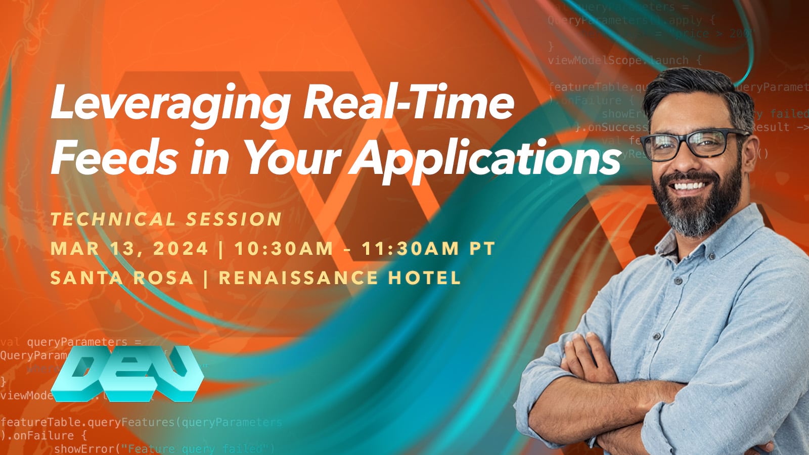
Leveraging Real-Time Feeds in Your Applications
Wednesday, Mar 13 | 10:30 AM – 11:30 PM PDT | Santa Rosa | Renaissance Hotel
Learn how to build apps that allow you to connect to, visualize and analyze real-time feeds. In ArcGIS, you can use ArcGIS Velocity and GeoEvent Server to connect to feeds, analyze them in real-time and serve data to ArcGIS client apps via ArcGIS Stream Services. We will show how you can use these Stream Services in apps built with the ArcGIS Maps SDK for JavaScript and ArcGIS Maps SDKs for Native Apps, including various ways to visualize information, interact with it and analyze it.
Speakers: Tanu Hoque, Principal Product Engineer, Esri | Megan Rohrer, Product Engineer, Esri
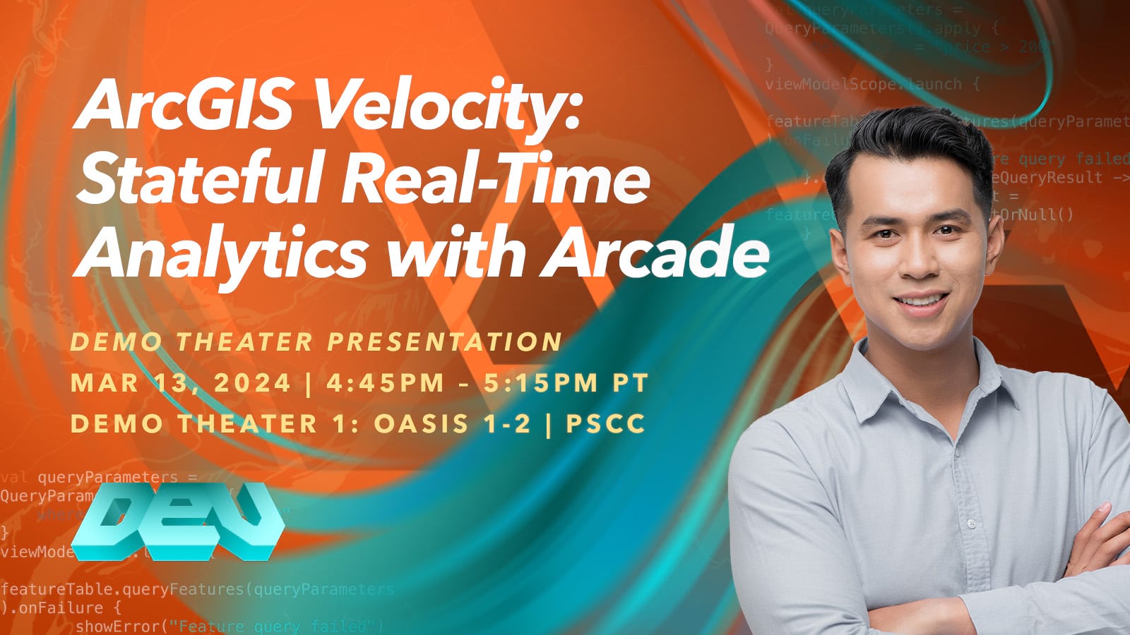
ArcGIS Velocity: Stateful Real-Time Analytics with Arcade
Wednesday, Mar 13 | 4:45 PM – 5:15 PM PDT | Demo Theater 1: Oasis 1-2 | PSCC
ArcGIS Velocity now supports the use of stateful Arcade track functions and expressions in your analytics. With these new capabilities, you can build your own stateful expressions in Arcade to solve analytic extension needs. This session will show how to access and leverage past observations for each track to make decisions, calculate values, and change geometry. See demonstrations of building custom expressions that solve challenges or questions specific to your organizational workflows.
Speaker: John Mendoza, Software Development Engineer, Esri
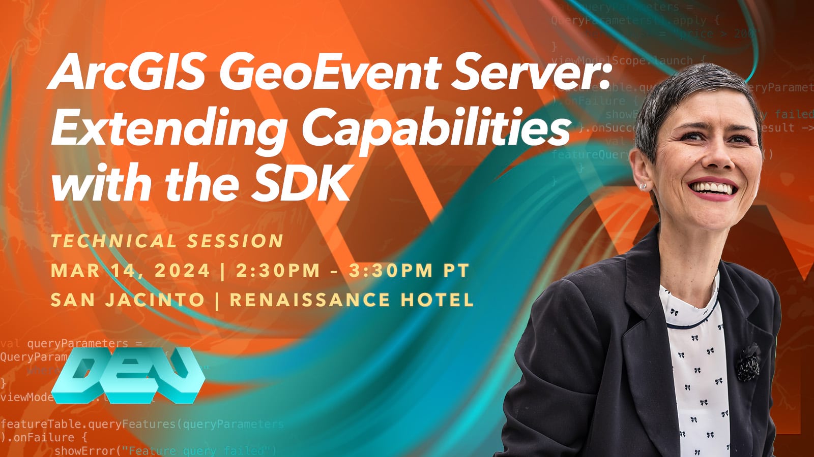
ArcGIS GeoEvent Server: Extending Capabilities with the SDK
Thursday, Mar 14 | 2:30 PM – 3:30 PM PDT | San Jacinto | Renaissance Hotel
ArcGIS GeoEvent Server is extensible, allowing you to create your own input and output connectors as well as real-time analytic processors. Learn how you can add your own connectors to receive and send new streams of information from your IoT sensors and devices, enterprise business systems, and third-party feeds. The GeoEvent Server SDK is based on Java, so knowledge of Java will be helpful for this session.
Speakers: Jeff Garcia, Product Engineer, Esri | Ming Zhao, Principal Software Development Engineer, Esri
ArcGIS Velocity: Custom Data Ingestion with gRPC and HTTP
Thursday, Mar 14 | 5:30 PM – 6:30 PM PDT | Mesquite B | PSCC
Topics will include exploring gRPC developer resources, required client libraries, data packaging examples, and connecting to a gRPC feed to update features in a web map. In addition, you will learn how ArcGIS Velocity supports real-time data ingestion and egress or actuation through HTTP, which enables you to integrate with third-party APIs. Topics will include how to configure HTTP Receiver inputs, HTTP outputs, URL parameters, authentication, and custom headers to interact with external APIs and systems through HTTP.
Speakers: Kwasi Asante, Sr. Software Development Engineer, Esri | Ming Zhao, Principal Software Development Engineer, Esri
———————————————————————————————————————————————
Explore the latest capabilities, get your questions answered, and view custom demos from our real-time GIS product experts. Stop by the ArcGIS Velocity and the ArcGIS GeoEvent Server kiosks in the spatial analysis area.
Tuesday, March 12 | 1:00 PM – 6:30 PM PDT
Wednesday, March 13 | 10:00 AM – 6:30 PM PDT
Thursday, March 14 | 10:00 AM – 4:00 PM PDT
Interested in learning more? Visit our Real-Time Visualization and Analytics page!

Article Discussion: