Many know of the American Geophysical Union (AGU) as one of the world’s most well-respected Earth science scholarly organizations. Its annual fall meeting usually dwarfs the Esri UC by well over 10,000 attendees. Last year’s event attracted 25,482 attendees from more than 100 countries, maintaining its status as the largest Earth and space science meeting in the world. This year’s conference (#AGU22), December 12-16, 2022, will feature a hybrid experience over the course of just one week, with both in-person and virtual presentations in oral and poster sessions, in-person and virtual eLightning sessions, and an in-person exhibitor showcase.
Esri is once again a PREMIUM-level exhibitor with an on-site booth presence (#1927 across from NASA) under the theme of Next Generation Science Entails WHERE. The 3-main topic pillars/stations at the booth will be Open Science, Climate Change Sustainable Future, and Research & Education. There will be a bevy of rich content, messaging and demos under these topics, including on multidimensional scientific data and analysis, imagery, big data geoanalytics, raster analytics, data publishing and no-code apps, The Living Atlas of the World, ArcGIS Pro, R and Python integration, ArcGIS Notebooks, ArcGIS Hubs for open data platforms, ArcGIS StoryMaps, Learn ArcGIS, MOOCs, World [Terrestrial] Ecosystems (aka Ecological Land Units), Ecological Marine Units, Ecological Coastal Units, the entire web GIS pattern, our commitment to open/interoperable, and more.
Throughout the entire conference, Esri will have booth staff available each day should any AGU attendee have questions, wish to speak with Esri experts, or view a number of live science demos. Free books, the famous “Globie” Esri stressballs, and other giveaways will be part of the action too. In addition, a variety of science books from Esri Press will be available to AGU attendees at a significant discount.
Many thanks to Esri Earth Sciences Solution Director Lorraine Tighe for coordinating the participation of 17 booth staff in this important scientific conference.
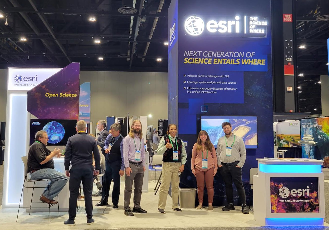
BOOTH and other PHOTOS+VIDEOS (added to this blog January 18, 2023)
Beyond the booth, Esri will also be represented at six Town Hall meetings:
- TH005 – AGU LANDInG (Leadership Academy and Network for Diversity & Inclusion in Geosciences): Progress Highlights and How to Participate
- TH008 – Diversity and Inclusion in the Earth and Space Sciences: Candid Discussion with the AGU Diversity and Inclusion Advisory Committee
- TH15F – Climate Ready Nation
- TH23I – EarthCube Town Hall: Evolution of the Geosciences/Cyberinfrastructure Community
- TH35F – Diversity, Inclusion, and Equity in Informatics
- TH35H – NASA SMD Open-Source Science Initiative
We are also pleased to share the lineup of presentations that will be made by Esri staff at the 2022 AGU Fall Meeting in a hybrid mode (either in-person or remote). AGU is striving to make as much content on-demand for virtual attendees with pre-recorded oral presentations and virtual posters available for attendees to view even outside the scheduled live, in-person sessions during the meeting.
You’ll see in the list below of scientific papers, posters, and entire sessions that Esri is leading or contributing on a wide variety of interesting and important projects. Many of these are in collaboration with our federal partners at NASA, NOAA, US Forest Service, Department of Energy, EPA, and the USGS, as well as several universities and national laboratories. This showcases how Esri not only enables great understanding of the world with our products and services, but also performs good science, and contributes well as a member of the scientific community, sharing and inspiring others as to The Science of Where.
AGU PRESENTATIONS and SESSIONS with Esri Co-Authors
(where B = Biogeosciences, GC = Global Environmental Change, IN = Earth and Space Science Informatics, OS = Ocean Sciences; 5-character codes are entire sessions)
B13A-07A New Inventory of U.S. Islands to Support Conservation Planning and Management
IN26A-02 SeaFAIRing: experiences supporting deep ocean data providers towards more FAIR data
SELECTED AGU PRESENTATIONS or SESSIONS by OUR USERS
(where A= Atmospheric Sciences, C= Cryosphere, DI = Study of Earth’s Deep Interior, ED = Education, EP = Earth and Planetary Surface Processes, GC = Global Environmental Change, GH = GeoHealth, H = Hydrology, NH = Natural Hazards, P = Planetary Sciences, PP = Paleooceanography and Paleoclimatology, T = Tectonophysics, SY = Science and Society; 5-character codes are entire sessions)
DI32C-0026 The Geodynamic Evolution of the Jean Charcot Troughs: A Remote-Predictive Mapping Approach
ED35D-0622 Modeling the Habitat Suitability of Deep-sea Sponges on the Blake Plateau
ED52B-02 What’s in Your Water? A Story of Oklahoma
ED55F-0199 Utilizing Digital Field Tools to Promote Public Geoscience Education
EP42A-42 A Rock Glacier Inventory of the Central Alaska Range, Alaska
GC32N-0763 Multi-Hazard Assessment Using Multi-criteria Analysis in the Kailash Sacred Landscape
H14F-02 Spatial and Temporal Analysis of Water Quality in the Greater Houston Area
H15N-0967 Beyond the Case Study: Characterizing Natural Floodplain Heterogeneity in the United States
H21C-06 Regionalization of Sediment Rating Curves in Peninsular India using Clustering Approach
H25J-1229 Statistical models of depth-to-bedrock across eastern Wisconsin, USA using AEM data
P51B-08 Geological History Of The Mbokomu Mons Region, Along Parga Chasmata, 2400 km SE Of Atla Regio, Venus
P52D-1573 First USGS Global Geologic Map of Titan
Esri at past American Geophysical Union (AGU) Meetings in 2021 | 2020 | 2019 | 2018.

Article Discussion: