The Imagery Workflows website provides a jumping off point that helps you take the proper steps to perform imagery workflows by explaining an ArcGIS solution to a common imagery problem and aggregating helpful resources from across Esri to help you solve it.
In this release of the Imagery Workflows website, we’ve made sure to update 15+ topics with new resources and information, ranging from serving tile cache to creating drone products with ArcGIS Pro.
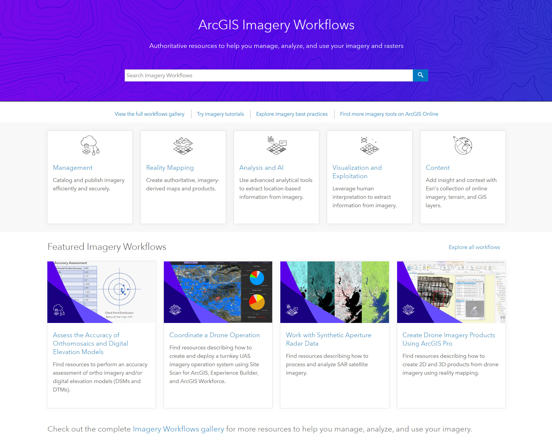
But we’ve also made sure to add more workflow topics for you to explore! With these new topics, you can learn how to coordinate a drone operation, assess the accuracy of your orthomosaics, and work with synthetic aperture radar.
New Workflows
- Coordinate a drone operation—Learn how you can leverage the robust capabilities across ArcGIS, like Site Scan, ArcGIS Field Maps, ArcGIS Dashboards, and more, to coordinate a drone operation with your piloting team.
- Assess accuracy of orthomosaics and elevation models—Learn how to assess the accuracy of your ortho images using the Accuracy Assessment web app that’s based on the ASPRS revised standards.
- Work with synthetic aperture radar—Learn how to work with SAR data using ArcGIS through a series of tutorials, help documentation, blogs, and more.
In addition to workflows, the Imagery Workflows website provides supporting resources, such as imagery best practices, open-source tools, and step-by-step imagery tutorials. We’ve made updates to these supporting resources as well, including a new tutorial on publishing mosaic datasets in ArcGIS Image Dedicated.
Tell us what workflows you’d like to see
Have you explored the Imagery Workflows website, but didn’t find what you were looking for? Tell us about it! We’re constantly adding new content, so use our Survey123 form to request a new workflow, tutorial, or best practices section.

Article Discussion: