-
-
September 14, 2023
| Multiple Authors
|
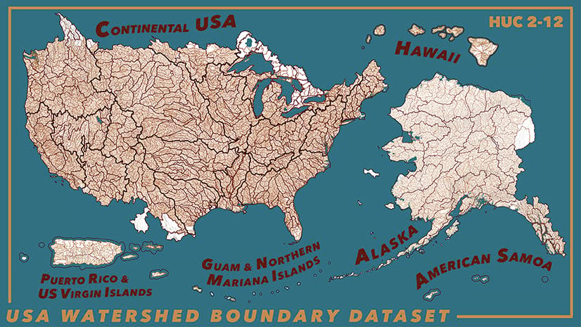
Water
-
August 23, 2023
| Multiple Authors
|
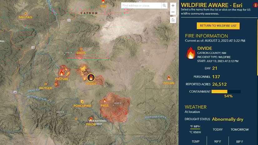
Public Safety
-
August 16, 2023
| Multiple Authors
|
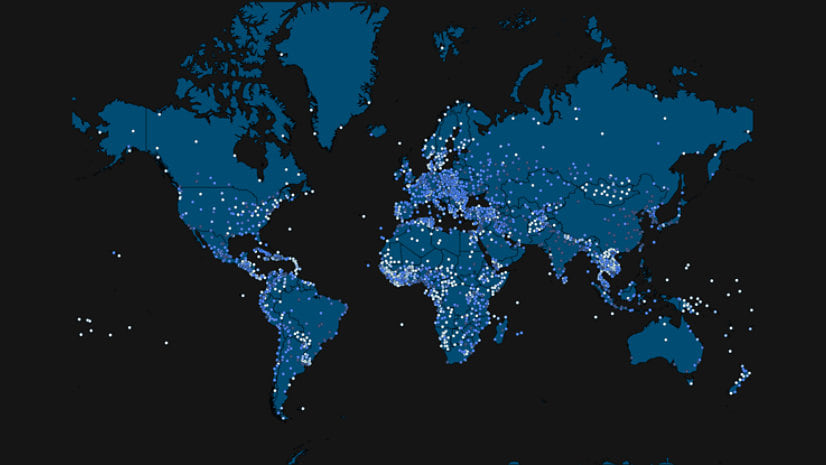
Imagery & Remote Sensing
-
August 10, 2023
| Multiple Authors
|
Imagery & Remote Sensing
-
August 4, 2023
| Multiple Authors
|
Imagery & Remote Sensing
-
August 2, 2023
| Multiple Authors
|
Imagery & Remote Sensing
-
-
-
-
-
-
July 3, 2023
| Multiple Authors
|
3D Visualization & Analytics
-
July 3, 2023
| Multiple Authors
|
Announcements
-
-
-
-
June 21, 2023
| Multiple Authors
|
Announcements
-
June 20, 2023
| Multiple Authors
|
Imagery & Remote Sensing
-
June 15, 2023
| Multiple Authors
|
Imagery & Remote Sensing
-
-
June 2, 2023
| Multiple Authors
|
Announcements
-
-
opens in new window