ArcGIS Open Data was renamed to ArcGIS Hub on June 28, 2017.
A new version of ArcGIS Open Data was released this week – two new releases in one month! Read on to see the new features to take advantage of.
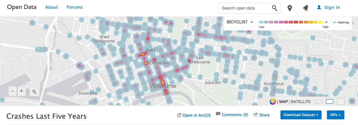
Heat Maps
With the current smart mapping functionality, users can create choropleth and graduated symbol visualizations. We just added the ability to create heat maps to show clusters of phenomena on the ground, like the map below of bicycle crashes in Melbourne. Administrators can enable this capability on their sites to give citizens more visualization options.
Google Analytics
Administrators can add their Google Analytics Tracking ID into the admin application to have their metrics funnelled directly to their Google Analytics account with no further configuration required. Paths for finding search, dataset views, and download counts are outlined in the documentation.
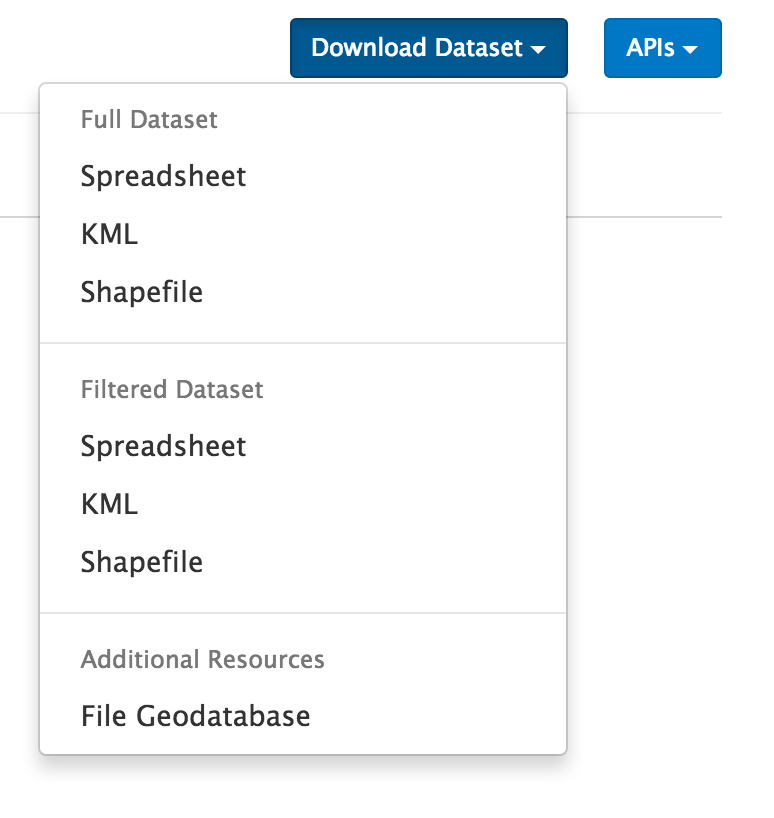
Additional Download Files
Administrators can now add additional download files to attach to their datasets — this is a way to provide a file geodatabase or a CAD download for your users. This workflow leverages the download distributions added to your metadata in ArcGIS Online. Any new download distributions will appear in the dataset download section in ArcGIS Open Data. Help is outlined in the Open Data documentation.
Exposed Metadata Dates
The published date from a dataset’s formal metadata will now be surfaced in ArcGIS Open Data. This gives administrators greater control of providing details on their datasets.
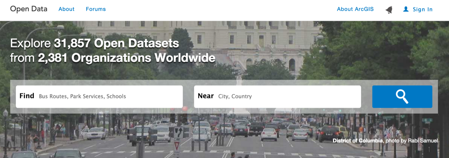
Umbrella Search Experience
We’ve altered the way users search on our umbrella page, opendata.arcgis.com. Users have an improved experience to search for over 31,000 open datasets in a specific location.
Routine Bug Fixes
As always, the team is continuing to work to make your open data experience more smooth and more stable.
Let us know what you would like to see in upcoming releases over on our GeoNet page.

Article Discussion: