Introducing ArcGIS Marketplace
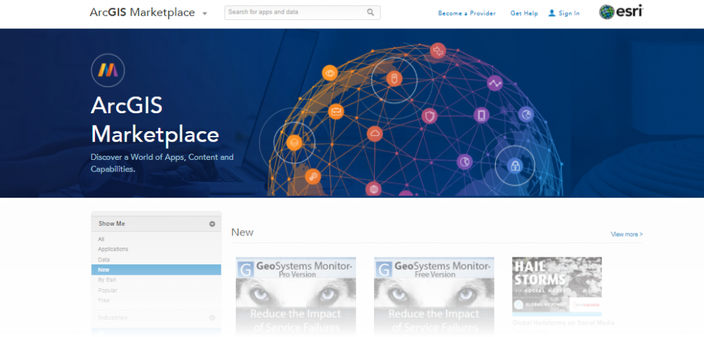
The ArcGIS Marketplace is a destination that enables ArcGIS users around the world to easily search, discover, and use apps and content from Esri and qualified Providers. Items listed in the marketplace can be made available to any ArcGIS Online organization worldwide. They are built to leverage and enhance what your organization can do with ArcGIS Online and the ArcGIS platform. The marketplace includes both paid and free apps, and many include the ability to access free trials.
Esri Startups Offer a Wide Array of Innovative Solutions
Esri’s Emerging Partners have been hard at work integrating Esri’s spatial capabilities within their product offerings, helping ArcGIS customers gain even more value from their investments. These up-and-coming businesses address a broad spectrum of industries such as public safety, local and federal government, utilities, natural resources, health, commercial sectors and more. These companies and their apps are driving innovation across a wide array of themes including, mobile, Internet of Things (IoT), real-time analytics, machine learning and more.
Here are additional ArcGIS Marketplace applications released by Emerging Partners and Silver Partners which are or were once in the Esri Startup Program:
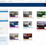
- DataCapable is making ‘maps a social canvas’ releasing eight new machine learning-powered ‘Global Event Tracking’ ArcGIS Marketplace apps from social media for various use cases such as near real-time maps for outages, wildfire, water quality, hail, tremors, boil water, flu, and gas leaks. Access the apps here or learn more about the announcement in their press release.

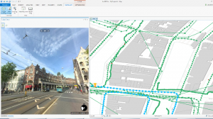
- Remote GeoSystems released LineVision ArcMap Add-in and stand-alone LineVision Esri Maps on ArcGIS Marketplace for UAV, airborne and terrestrial mobile inspection and survey projects that require georeferenced video playback, analysis, collaboration and reporting. Access the apps here, or view the press release to learn more.
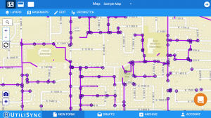
- UtiliSync Documentation Automation is a powerful web and desktop solution that connects to your GIS data (online and offline) and assists you with your complete document lifecycle: complete forms, create, distribute, archive and access records for public works, water, state and local government, and other markets to support workers in the field, access the application here.

- Maptiks by Sparkgeo is a simple tool that allows you to track user interactions with ArcGIS Online Web Map Apps. By adding a trackcode to your map, Maptiks tracks visitors and where they click, pan, zoom and move around on your ArcGIS Online web maps. GIS department’s like the City of Prince George have leveraged Maptiks to gain further insights on who was using their public facing web maps, tracking traffic data, track visitor engagement and demographic information. Access the application here.
- Mapillary for ArcGIS is a suite of tools with integrated street-level imagery for viewing, creating, and editing GIS data. You can create your own street-level imagery using the Mapillary iOS and Android app or any GPS-enabled camera. Access the application here.

- AntrisPro is a safety solution designed to protect work-alone employees. It communicates with their mobile or GPS device to monitor their safety and automatically notifying the necessary people of their trip progress. If the unexpected happens, or a check-in is missed, Antris immediately notifies managers or emergency contacts. It also offers enhanced reporting to organization administrators and can be used across a wide array of industries. Access the application here.
- MapLapse by GeoMarvel & Geo Jobe allows you to create your own time-lapse animations on ArcGIS Online and export to a GIF. visualize an array of imagery color band combinations such as false color, land water, agriculture and healthy vegetation in any area. Access MapLapse free or pro versions.
Keep monitoring the ArcGIS Marketplace for new solutions or consider becoming an authorized provider to sell your application. Stay tuned for some big announcements!

Commenting is not enabled for this article.