
This June, several exciting updates will benefit developers who utilize ArcGIS Location Services. From data updates that ensure accuracy as you build applications, to new features that increase the efficiency of end user solutions, here’s what to know about the most recent release:
ArcGIS GeoEnrichment Service: June 2025 Updates
With every release, the data accessed through the GeoEnrichment service is refreshed to offer users the most up-to-date information for mapping and analysis. This release features important changes and updates to the data available through the service.
Data Changes
With the June release, Esri will retire its US 2023 data. Users are encouraged to transition to the Esri 2025 US data to avoid disruption. The US 2024 data will remain supported until June 2026, after which it will be retired. The introduction of the Esri US 2025 data aims to support seamless development and better decision-making for end-users.
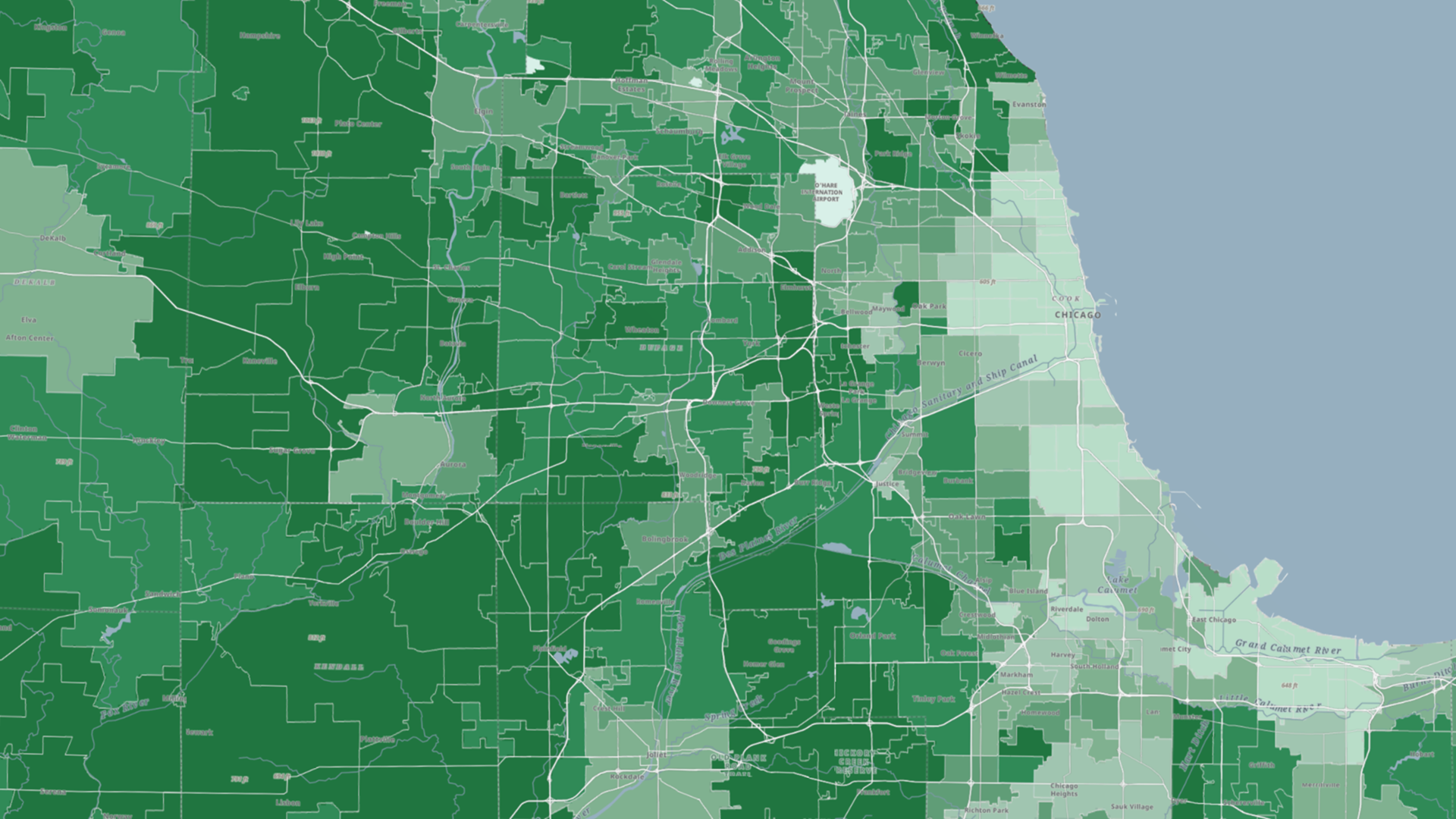
Comprehensive US Demographic Data Updates
The June release includes updates to several datasets, providing current year and five-year forecasts. These updates cover a wide range of data, including:
- Updated Demographics
- Consumer Spending
- American Community Survey (ACS) Data
- Retail Demand
- Business Summaries
- Market Potential
Additionally, data has been introduced for boundaries such as tribal boundaries, Public Use Microdata Areas (PUMA) boundaries, state legislative district boundaries, offering developers enhanced data to tailor their applications and solutions, thereby improving the end user experience.
Important reminder related to Esri Business Summary data: It is important to note that in Early 2026, Esri will discontinue support for the Standard Industrial Classification (SIC) codes used in the United States Business Summary dataset. North American Industry Classification System (NAICS) codes will continue to be supported.
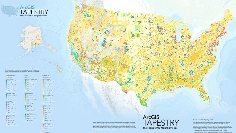
New and Improved ArcGIS Tapestry
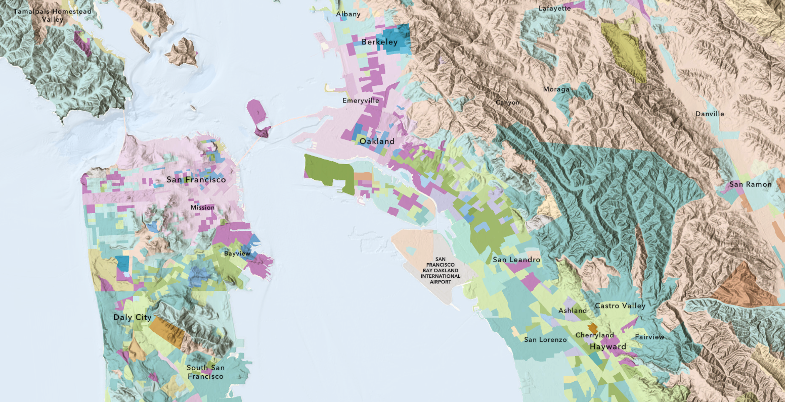
Previously known as Esri Tapestry Segmentation, the third generation of this geodemographic system combines consumer traits with residential characteristics to classify nearly 240,000 U.S. neighborhoods.
With the June release, ArcGIS Tapestry introduces new segments and LifeMode counts and names, ensuring more streamlined categorization and a more accurate reflection of population changes.
The insight provided by Tapestry enables developers to build data rich applications, ultimately offering end users precise location-based context. To learn more about ArcGIS Tapestry, please read this article: Introducing ArcGIS Tapestry.
For detailed guidance on the data changes, Tapestry, and the June release and how it impacts developers, please review the current release note.
ArcGIS Routing Service: Introducing Snap to Roads
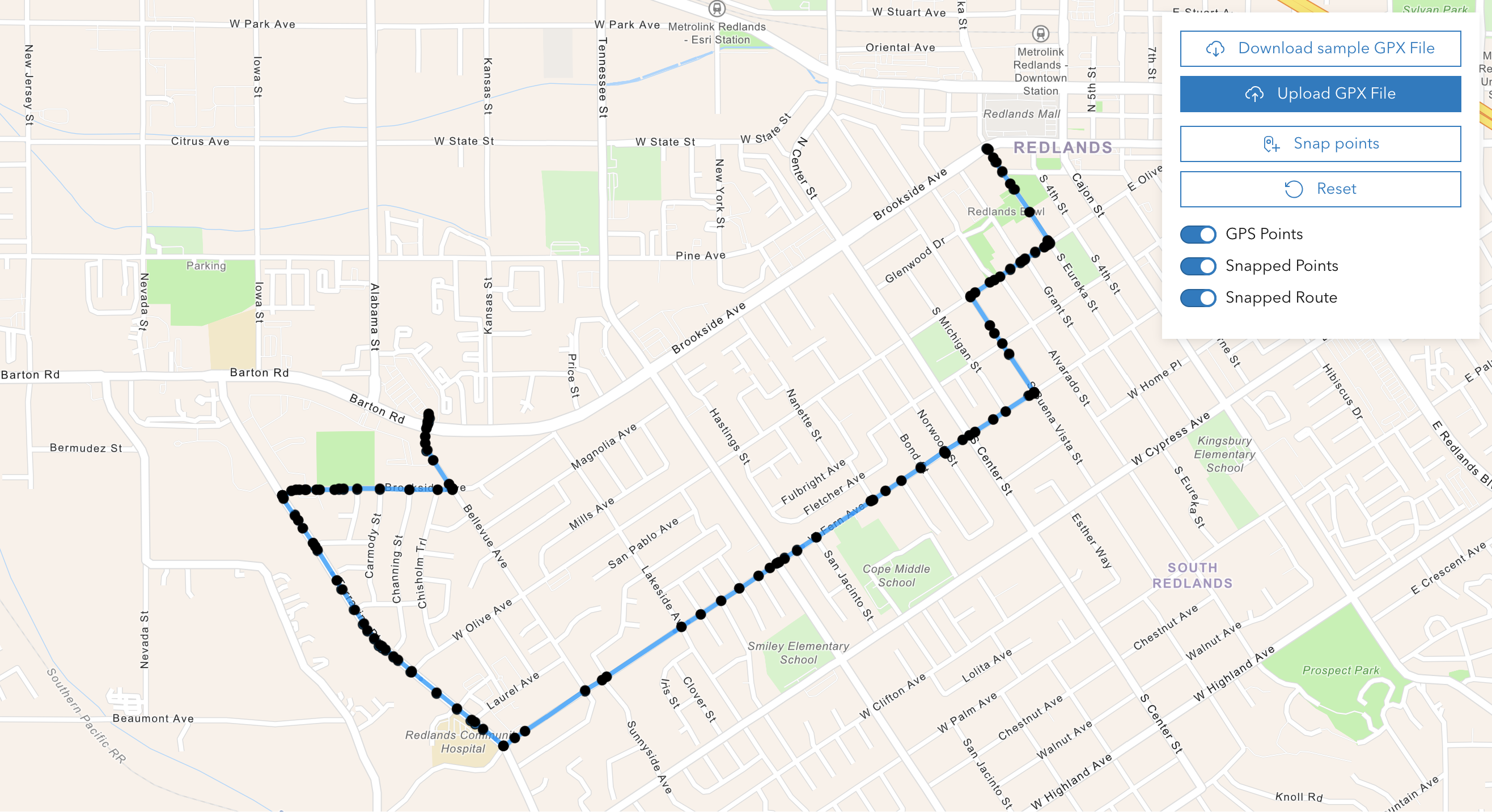
Esri has introduced Snap to Roads, a new feature of the Routing service.
Snap to Roads offers an advantage to customers looking to optimize fleet management and improve the efficiency of their logistics operations. It aligns GPS data points to road networks, ensuring the accuracy and reliability of GPS information. Snap to Roads provides posted speed limits for each route segment, allowing organizations to compare the speed of their vehicles against these limits and ensure compliance with regulations.
Some key benefits of Snap to Roads include:
- Fixing GPS data
- Creating reusable routes based on GPS data
- Ensuring route adherence
- Reporting speed limit violations
For more details about Snap to Roads, please read this article: ‘Accelerate Fleet Management and Logistics with Snap to Roads’.
ArcGIS Places Service: June 2025 Release
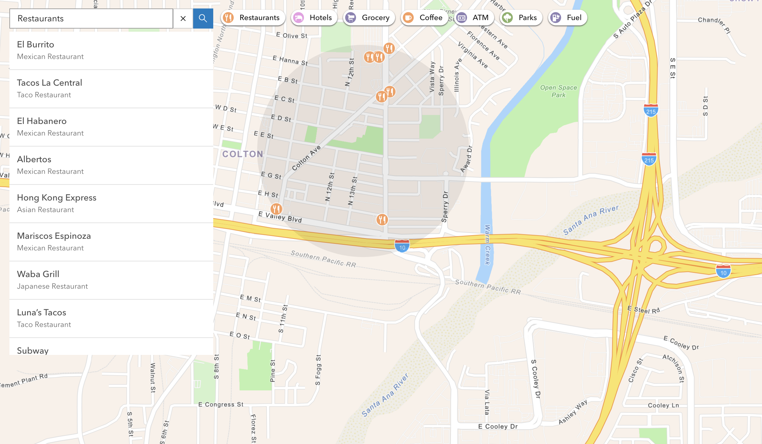
The June release brings a refresh to the data developers access via the Places service, through ArcGIS Location Platform.
The data, sourced from Foursquare Open Source Places, and incorporated into the data ArcGIS delivers, has been refreshed to the April 2025 supplier vintage. This update ensures more accurate data to support the physical representation of places worldwide. Developers rely on up-to-date place information to create more reliable applications that empower end users as they navigate their world.
To learn more about the data available through the Places service, please refer to this article: Enhanced Location-Based Context with the June 2025 Release of ArcGIS Places.
Get Started
Sign up and start building mapping apps with ArcGIS Location Services.
Subscribe to the Esri Developer Newsletter to stay updated on the latest releases.


Article Discussion: