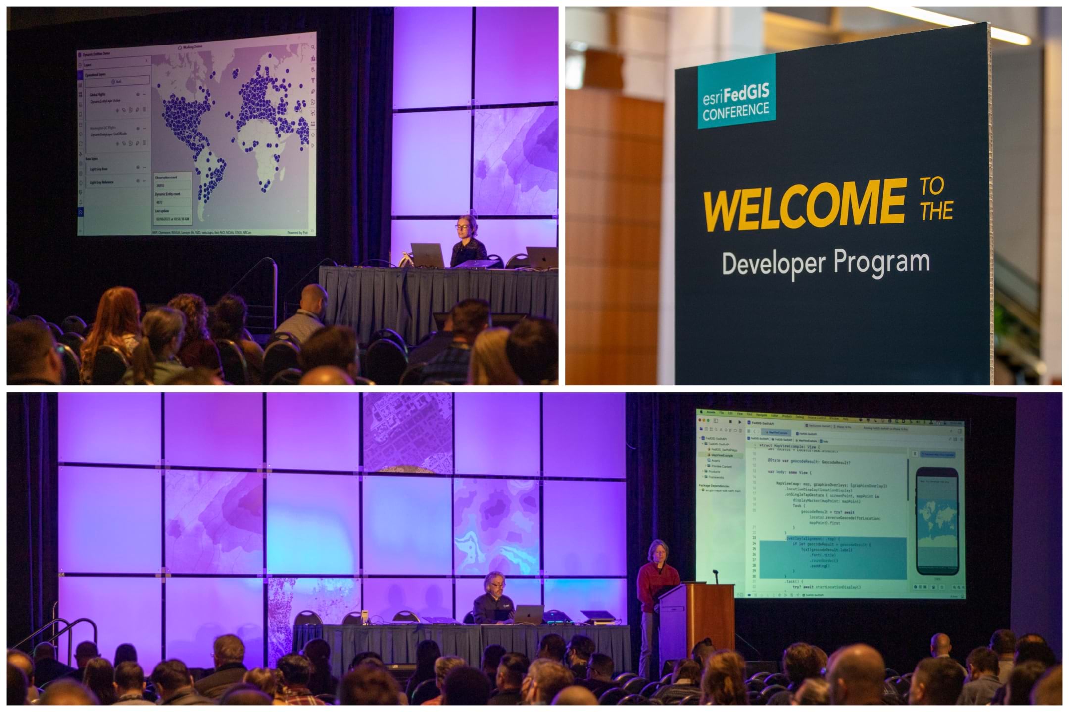
As the Esri FedGIS Conference 2024 approaches, get ready to immerse yourself in a world where GIS and software development intersect to shape the future of federal government operations. With a rich schedule of developer-focused sessions, this year’s conference is an event for GIS developers eager to drive innovation and impactful solutions.
To help you navigate this event, we have prepared a guide, presented in this article, that highlights the most influential developer presentations and activities. These carefully selected events are key to understanding the evolving landscape of GIS technology and its application in the federal domain. For a full guide with detailed descriptions and schedules of all recommended developer experiences, please refer to this comprehensive PDF.

Developer Summit at Esri FedGIS
Join us on February 12, 2024, at the Walter E. Washington Convention Center for the Developer Summit, before the main conference. This all-day event caters to all developer levels, from exploring low-code solutions to deep diving into GIS app development.
Included with your FedGIS conference registration, the Developer Summit offers a unique opportunity to:
- Learn from Esri’s development teams and connect with fellow GIS developers.
- Gain insights into building real-time, performance-optimized apps using various ArcGIS tools.
- Explore the integration of GIS with advanced technologies like Python, game engines, and knowledge graphs.
This is more than just a learning experience; it’s a chance to shape the future of GIS development in your organization.
The day begins with a general session featuring the latest ArcGIS advancements in a federal government applied context. We kick off the morning with a warm welcome and an introduction to community through ArcGIS Hub and discovering how leveraging APIs provides underlying capabilities to you as a developer. Then we continue leveraging those capabilities shared as services and APIs to build apps that can be tailored to your requirements. Finally, we will share some of the highlights of ArcGIS developer tools that are available to use and get started with today.
The general session is followed by a Meet the Teams networking lunch. Grab your lunch and join a member of our developer team at one of the designated tables. Discuss some of your latest projects, get questions answered, or simply get to know some of the developers who are working on the tools you use in your day-to-day work.
Following the Meet the Teams lunch, we have an afternoon of technical sessions that cover ArcGIS APIs, Experience Builder, real-time app development, and more, with a few highlighted sessions below:
- ArcGIS API for Python: An Overview and What’s New
- ArcGIS Experience Builder for Developers: Widgets, Development, Deployment, and Automation
- ArcGIS Maps SDK for JavaScript: Maximizing Performance of the Feature Layer
- Building Real-Time Applications
- And much more…

Key Developer Sessions at the Conference
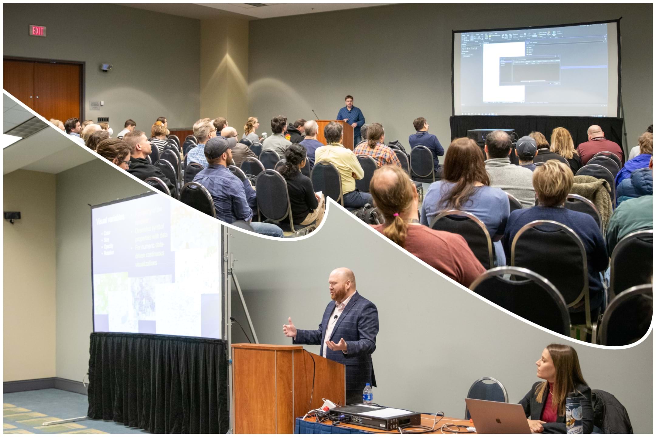
At the main conference, developers have a variety of sessions to choose from, including technical talks and demo presentations. These sessions cover a range of topics in GIS development and technology, suitable for different experience levels. Whether you’re interested in the latest programming practices, geospatial data analysis, or application development, there’s content tailored for every developer.
The following are just a few examples of developer-recommended sessions at the conference:
- Data Science in ArcGIS Using Python and R – This session teaches integration techniques for Python and R with ArcGIS, which is a must-know for developers involved in data science and geospatial analytics.
- ArcGIS Experience Builder: Tips and Tricks – Offers advanced insights into ArcGIS Experience Builder, beneficial for developers creating customized and interactive web apps.
- ArcGIS Arcade: An Introduction – Arcade is a powerful expression language used across the ArcGIS platform. This session is ideal for developers looking to create custom visualizations, labels, pop-ups, and field calculations.
- ArcGIS Enterprise on Kubernetes: Deploy and Optimize – For developers working with cloud-native technologies, this session on deploying and optimizing ArcGIS Enterprise on Kubernetes would be highly insightful.
- ArcGIS API for Python: An Overview and What’s New – A must-attend for developers working with Python. This session provides an overview of the ArcGIS API for Python, demonstrating its use in managing GIS content and automating spatial analysis.

Collaboration and Networking: Connect, Share, and Innovate
FedGIS 2024 isn’t just about sessions and technical workshops; it’s a hub for meaningful networking and collaboration, bringing together GIS professionals from various backgrounds. This year, we’ve lined up several social and networking activities designed to foster connections and spark innovative discussions among attendees.
- Meet the Teams Hosted Lunch (Feb 12, 11:30 a.m.-1:00 p.m. at Walter E. Washington Convention Center, Room 146 ABC): Engage with Esri’s development teams over lunch and delve into discussions about GIS advancements.
- Developer Summit Networking Social (Feb 12, 4:30-6:00 p.m. at Walter E. Washington Convention Center, Room 146 ABC): A relaxed setting for developers to connect post-summit.
- Expo Social (Feb 13, 5:15-6:30 p.m.): A casual environment to explore the latest geospatial technologies, meet exhibitors, and network with fellow attendees.
- Young Professionals Network (YPN) Social (Feb 13, 6:30-8:30 p.m.): Ideal for young GIS professionals to forge connections and share experiences.
- Networking Social at Smithsonian National Museum of Natural History (Feb 14, 6:30-9:30 p.m.): The main social event offering a blend of educational and networking experiences in a historic setting.
These networking events are integral to the FedGIS experience, offering platforms for professional growth, learning from peers, and exploring collaborations in a friendly atmosphere.
Why Developers Should Attend
Attending FedGIS 2024 means staying ahead in GIS development, gaining hands-on experience, and expanding your professional network. It’s an opportunity to grow your skills, explore new technologies, and understand the future direction of GIS in the federal domain. With tailored sessions, the latest tech demos, and numerous networking opportunities, FedGIS 2024 is a great place for developers in GIS. Register today and be part of a conference that shapes the future of GIS in federal work.
To ensure you don’t miss any developer-focused events, use this handy PDF guide. It’s your personalized roadmap to making the most out of FedGIS 2024.
For a complete FedGIS agenda, visit www.esri.com/events/federal/agenda.


Article Discussion: