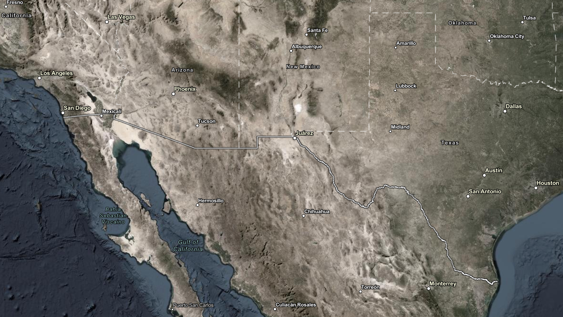
Devastating flash floods and violent storms continue to occur around the world. In times of crisis, cities rely on emergency systems, not only to support major rescue efforts but also to keep the city running by strategically providing residents with ways to avoid floodwaters. As heavy rains sweep through urban areas, road closures and commuter rail disruptions become inevitable. With widespread cancellations, it can be challenging for residents to get anywhere or for emergency responders to reach their destinations effectively.
In a previous Develop for Good article, we established the important role developers play in supporting rescue operations by leveraging the power of ArcGIS. Developers within organizations that contribute to emergency management or help affected populations rebuild their communities need the most effective applications and solutions. With ArcGIS Location Services, these developer-built applications are greatly enhanced, ensuring cities stay afloat.
During flood rescue efforts, it is beneficial to ask questions about the imminent danger and the resources available in or around the danger zones. “How far is the nearest helicopter landing zone? How long will it take for the nearest search and rescue team to arrive at the location?” The ArcGIS Routing service helps answer some of these questions. Through its Closest Facility operation, the service empowers developers to support end users in finding nearby facilities from an incident based on distance or travel time. By integrating this operation into an application, users will discover the best route to those locations along with estimated travel times, distance, and driving directions.
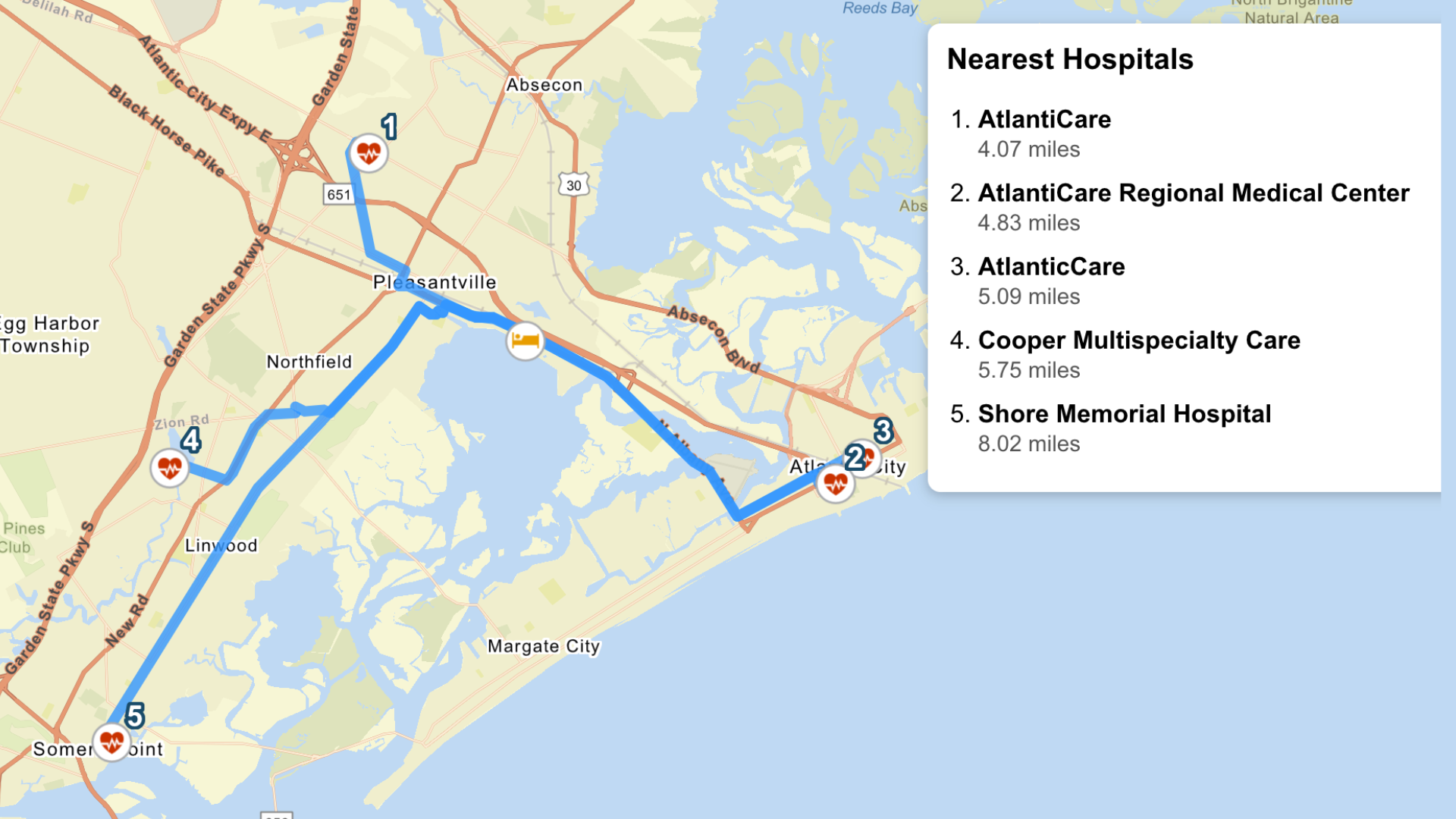
Emergency dispatchers can find search and rescue crews that may be headquartered close to areas with significant water depth. Additionally, they can designate crews to nearby emergency landing zones or find hospitals that may be close to the incident but slightly out of the path of the floods. Having information around closest facilities and being able to get optimal routes ensures more informed and safer rescue efforts; dispatchers or organizations are better equipped to assign resources before crews arrive.
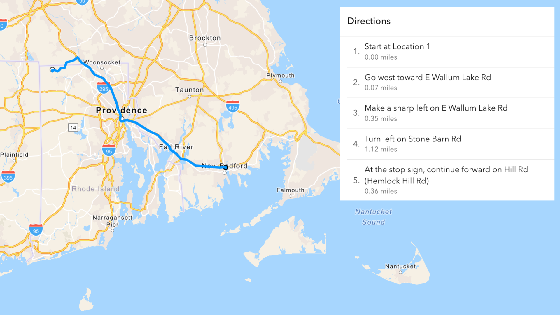
Important services such as mail delivery or waste collection still need to take place even during a flood. When certain roads on a travel path are flooded out, it becomes difficult for essential workers to efficiently fulfill their services. The ArcGIS Routing service detects road closures and automatically reroutes both emergency responders and the public, notifying residents of closures and providing alternate paths that avoid heavy flood zones.
As government organizations allocate resources to declared flood zones, they may need to identify which households or addresses fall into those specific zones. Having access to detailed address information helps to determine who is eligible for assistance. The ArcGIS Geocoding service enables developers to build applications and solutions that find the location of an address by converting address text into geographic coordinates and coordinates into addresses. With the Geocoding service, government organizations are able to determine the precise locations of individuals in flooded areas. This could also be helpful when providing relief or sending emergency notifications to residents.
After a disaster, home insurance companies may want to determine which properties are in affected areas, and which claims should be prioritized for processing. The ArcGIS Geocoding service supports this prioritization effort. By integrating the service into their solutions, insurers will get precise results for policyholder addresses and cross-reference them against flood zones. This ensures that communities most impacted by floods rebuild much faster.
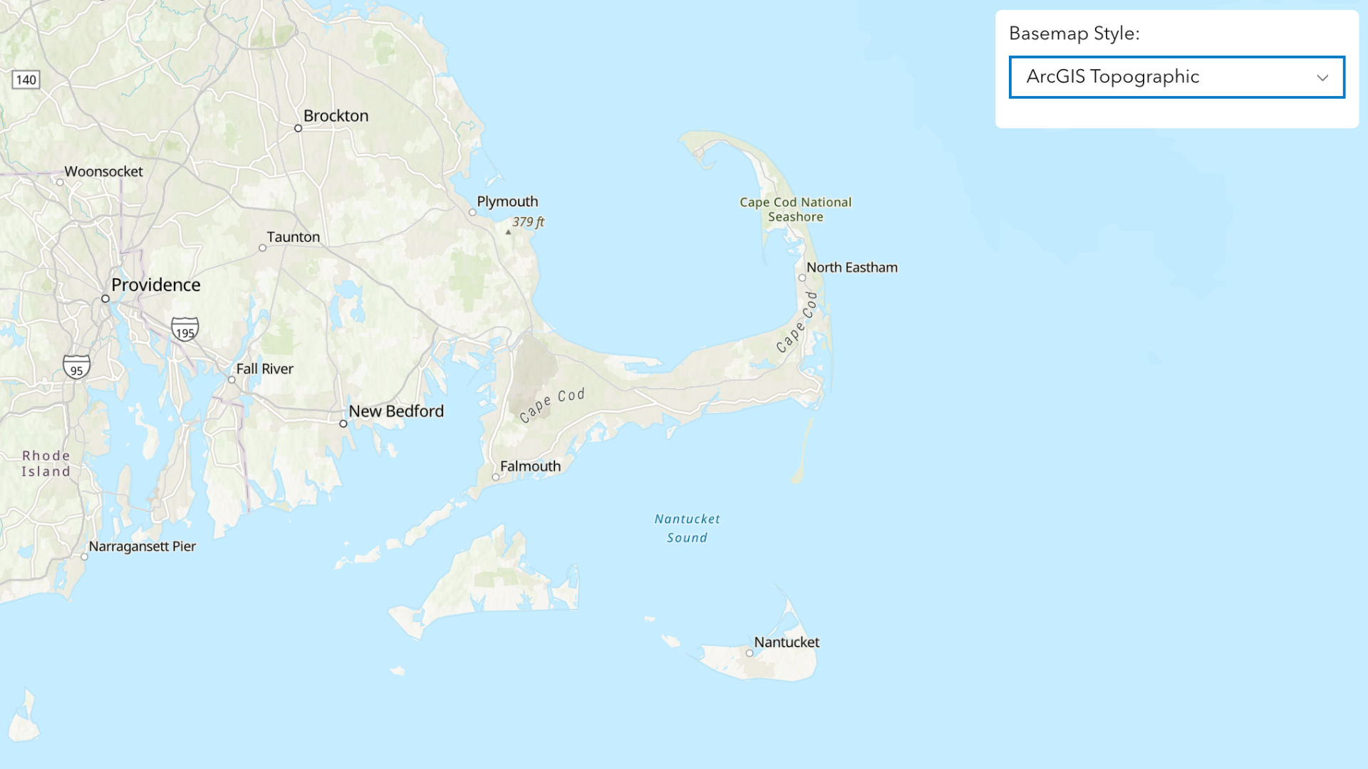
Mapping is the bedrock of any emergency support system. It is how stakeholders gain greater visibility of affected areas, conduct analysis, and support planning efforts. A third location service, the ArcGIS Basemap Styles service, helps emergency support organizations in post-disaster assessment.
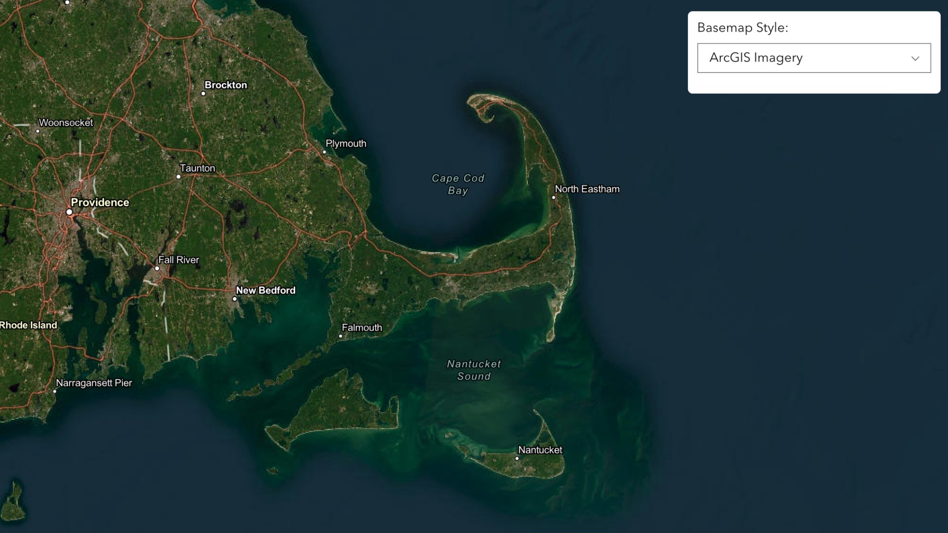
Developers contributing to this work should employ the variety of ArcGIS Basemap styles available, such as satellite or topography, to give officials a better before-and-after picture of flooded areas or help them visualize terrain and water features and prioritize certain areas during city cleanup and recovery efforts.
Whether you’re building applications that directly support first responders or maintaining solutions for organizations that make recovery or crisis mitigation possible, it’s important to leverage tools to make the systems you create more efficient – because your work has real, life-saving impact. All three ArcGIS Location Services referenced above are available through an ArcGIS Location Platform account. For details on how to get started, please refer to the documentation guide.
Esri also supports response efforts through its Disaster Response Program (DRP), which assists organizations responding to disasters or crises worldwide with GIS technology and response expertise. Explore how organizations worldwide can leverage these helpful resources in times of crisis.
Don’t forget to subscribe to the Esri Developer Newsletter and follow Esri Developers on LinkedIn to discover more developer offerings and updates.

Article Discussion: