Growth in unconvential gas supplies is spurring a boom in gas gathering pipeline construction. ArcGIS for Gas Utilities now includes Facility Reports for Gas Gathering Systems to help with regulatory and management reporting.
This new solution enables pipeline operators with gas gathering systems to:
- automate summarization of facility information
- persist the results as spatial data
- securely share facility reports through a web mapping application
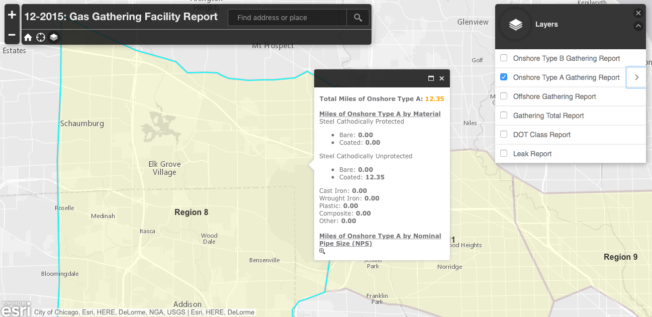
Results can be used for U.S. Department of Transportation Pipeline and Hazardous Materials Safety Administration (PHMSA) reports or for ad-hoc facility reporting.
A python script calculates the report data, publishes the results as a feature service and shares the results in a web app. You have the option of hosting the feature service and the web app on premises or in ArcGIS Online.
ArcGIS for Gas Utilities also includes facility reporting solutions for Gas Distribution Systems and Gas Transmission Systems.


Article Discussion: