In Living Atlas, there are over 100 maps detailing demographic, socioeconomic, and behavioral topics in the United States and Canada. These maps provide a current snapshot-in-time, from the State and Province levels down to neighborhood levels. As new data and maps are released, older data and maps are removed from Living Atlas and eventually retired.
In December, we will be retiring the 2016 U.S. Demographic and the 2016 Canada Demographic map services and associated items. If you have maps or apps that are using these items in ArcGIS Online and/or ArcGIS Enterprise, you should replace them with supported items as soon as possible. The 2016 items will be unavailable once retired.
Each year Esri and our data partners work tirelessly to incorporate new and updated sources and improvements to methodologies, to produce the annual updated data that go into these maps. Because of these improvements, we want to make sure you are always working with the latest available data from Esri.
There are a few ways to help make you aware of the latest data:
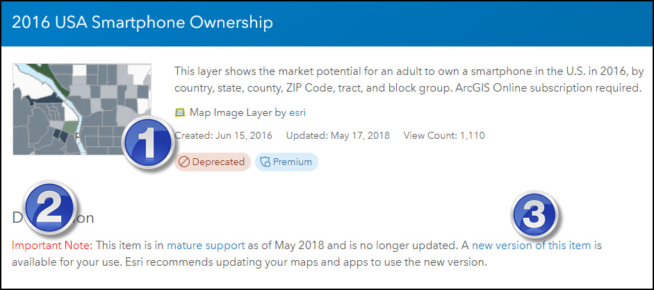
- Mature Support items have been marked as Deprecated.
- We include an Important Note in the description of each item moving into mature support.
- We include a link to the latest available, comparable item (where available).
To keep up-to-date with the status of web maps and map image layers from Esri, bookmark the Esri Content Life Cycle Support Status page. Demographic Maps Item Status indicates the status of the demographic web maps and map image layers.

Article Discussion: