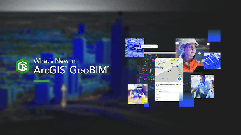
With the November 2023 release of ArcGIS GeoBIM, teams can collaborate with mobile workers thanks to a new integration with ArcGIS Field Maps. Project stakeholders can quickly access accurate field information, staying on top of site logistics and accelerating issue turnaround.
Using ArcGIS GeoBIM, mobile workers have access to an expressive mobile map of the construction site and the latest engineering documents and issues from Autodesk Construction Cloud. They can provide instant updates from mobile devices and reduce delays from disconnected data collection.
ArcGIS Field Maps and ArcGIS GeoBIM
ArcGIS Field Maps is a data-driven mobile map app built for field teams and operates connected or offline. Teams can collect and edit both spatial and form-based data, find assets and information while in the field, and share locations outside and indoors.
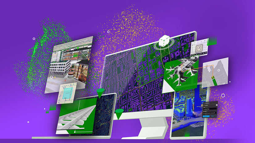
ArcGIS GeoBIM delivers an innovative, easy-to-use web-based experience for teams to collaborate on building information modeling (BIM) projects and address issues in a geospatial context. Architecture, engineering, construction (AEC), and operations teams can make better decisions by securely accessing up-to-date project and asset information, including 3D digital models, documentation, issues, and reality capture.
With ArcGIS Field Maps and ArcGIS GeoBIM working together, a streamlined digital workflow replaces inefficient paper-based processes and extends BIM integration to the field, enhancing engineering and construction workflows with a geographic approach. By adding ArcGIS Field Maps to projects in ArcGIS GeoBIM, project and operations teams can boost productivity, accuracy, and collaboration with on-site teams.
 and the ArcGIS Field Maps mobile app (left-center) for collecting issues and notes.")
Field collaboration for AEC project delivery
To see how this integration can improve project delivery, let’s follow a scenario of two professionals at an AEC firm to see how they resolve a challenge during the construction phase by using ArcGIS Field Maps and ArcGIS GeoBIM together.
Taylor is a project manager leading a major urban riverfront revitalization project. Construction had been on track until recently, when the city experienced one of the largest storms of the last 15 years. Fortunately, there was no major damage, but due to flash floods, parts of the construction site and surrounding roads are affected. The client is concerned that the project schedule and budget may be impacted.
To respond to the client’s concerns in a timely manner, Taylor contacts Sam, a mobile worker who has been reporting to Taylor on the project’s progress. She asks Sam to inspect the construction site and assess the impact of the storm on the project.
Enable ArcGIS Field Maps in ArcGIS GeoBIM
To streamline the information transfer, Taylor enables ArcGIS Field Maps on the ArcGIS GeoBIM project. Sam can use the field map on-site to create notes and issues directly in the ArcGIS Field Maps mobile app, available for both iOS and Android devices. Taylor can then review, modify, and share the information from her office.
Collect issues and notes in ArcGIS Field Maps
Sam arrives on-site and sees that several supplies have suffered water damage, including doors and wallboards. These will need to be reordered as soon as possible to avoid causing project delays. One of the plumbing pipes also seems to be leaking. Sam immediately creates issues for these in the ArcGIS Field Maps mobile app.
As Sam continues their inspection, they notice large puddles of water scattered around the site. This may not directly impact construction but could become a safety and equipment concern. Since the site is close to the river, Sam is concerned that contaminated water may harm the river’s sensitive ecosystem. Sam delineates the extent of the water in ArcGIS Field Maps and attaches a photograph. They describe the work that must be performed to minimize construction and environmental impacts.
Sam also observes that one of the streets next to the site was closed by the city to manage the flash floods. This could impact supply delivery. To help the project team assess the situation more accurately, Sam creates a note of the closed street with a customized fence symbology to better visualize the state of the closure.
Upload issues to Autodesk Construction Cloud
Thanks to the integration with ArcGIS GeoBIM, the issues and notes Sam collected in the field are reflected on the project’s ArcGIS GeoBIM app in real time, so Taylor can start processing them right away. Based on a previous supply chain discussion, she edits the due date of the supply reorder issue to better accommodate the logistic situation. After a quick check of the other information, Taylor uploads the issues to Autodesk Construction Cloud to inform the other parties of these latest updates.
She further notifies the rest of the construction team about the water puddles and road closure Sam noted in the field. Taylor discusses alternative supply routes with the general contractor. Sam’s customized notes in ArcGIS GeoBIM clarify her understanding of the site’s condition. The rest of the team cleans up the water puddles as well, preventing environmental impacts or safety hazards. These improvements are confirmed by Sam on their next site inspection and the map is updated with the improved conditions.
When the next project meeting takes place, the client thanks Taylor and her team for their timely actions to remediate the flood damage. They were quickly informed of the reorder request and were able to adjust their schedule and budget from the information she provided.
Discover more
This scenario of GIS and BIM field collaboration is not the only way your project can benefit from ArcGIS Field Maps and ArcGIS GeoBIM working together. We are excited to bring together the powerful field workflows of ArcGIS Field Maps and the ArcGIS GeoBIM connection with Autodesk Construction Cloud to help you streamline your field operations.
Try out ArcGIS Field Maps on your next ArcGIS GeoBIM project today.


Article Discussion: