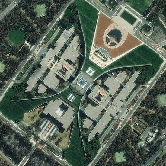
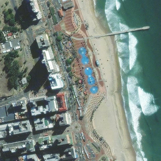
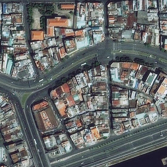
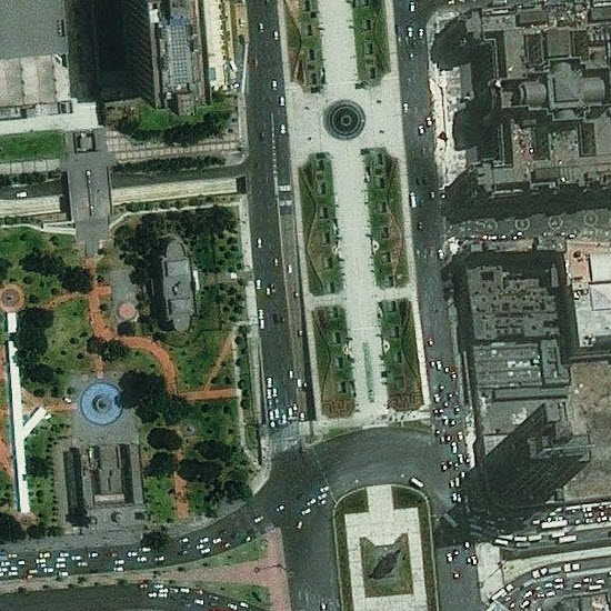
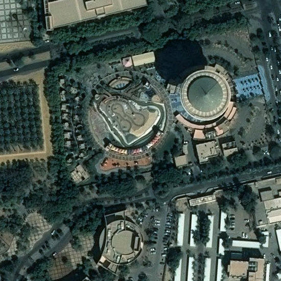
With our most recent release, the World Imagery basemap now contains updated coverage of more than 230 urban areas around the globe. This is our third, and by far the largest, batch of Pléiades imagery released. We released Pléiades imagery in 60 urban areas last year. Pléiades, a product of CNES/Airbus Defence and Space, provides sub-meter resolution imagery with more recent acquisition dates than our previous imagery. It also replaces areas of cloud cover and provides general imagery improvements. This web map provides the footprints of areas included in the update. Here are examples of the Pléiades imagery added to the basemap at scales ~1:36k down to ~1:1k.
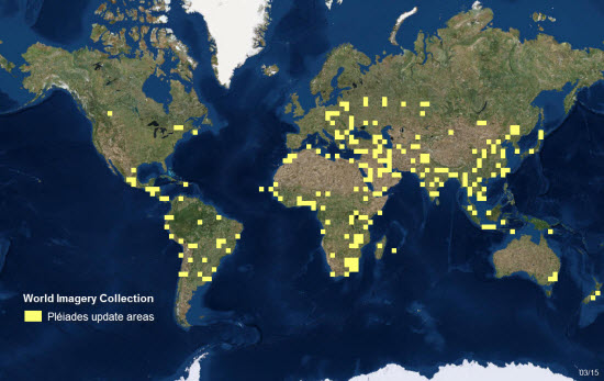
This image shows in yellow the general areas of our most recent Pléiades update. Explore this web map to see the new imagery incorporated into the World Imagery basemap. Zoom in to areas highlighted in red outline on the web map to see the precise urban areas that were updated.
Metadata for Imagery Map: The imagery service is metadata-enabled. With the Identify tool in ArcMap or the World Imagery with Metadata web map, you can see the resolution, collection date, and source of the imagery at the location you click. The metadata applies only to the best available imagery at that location. You may need to zoom in to view the best available imagery.
Commenting is not enabled for this article.