Here’s how you can access the Landsat archive which is hosted on Amazon through ArcGIS Pro.
- Open the Projects Pane
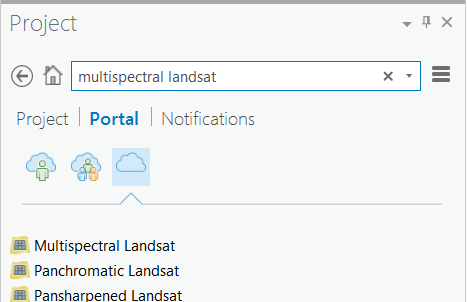
- Click on Portal and then on the cloud icon on the far right to see everything that’s on your portal.
- Search for “Multispectral Landsat” in the search bar.
- Drag and drop.
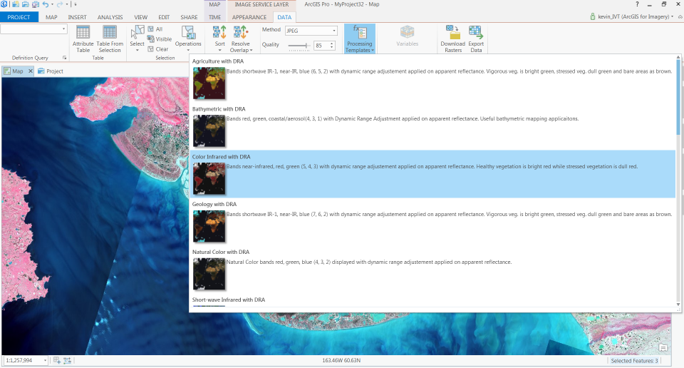
To take advantage of the archive, we’ve designed a number of pre-defined band combinations and indices. You can find these from the Data tab, under Processing Templates.
Play around with these. Here’s some cool stuff that I found poking around in Alaska for a few minutes.
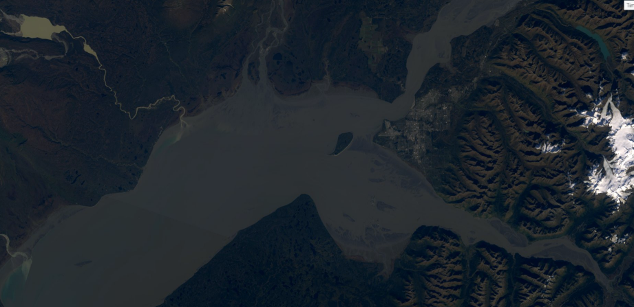
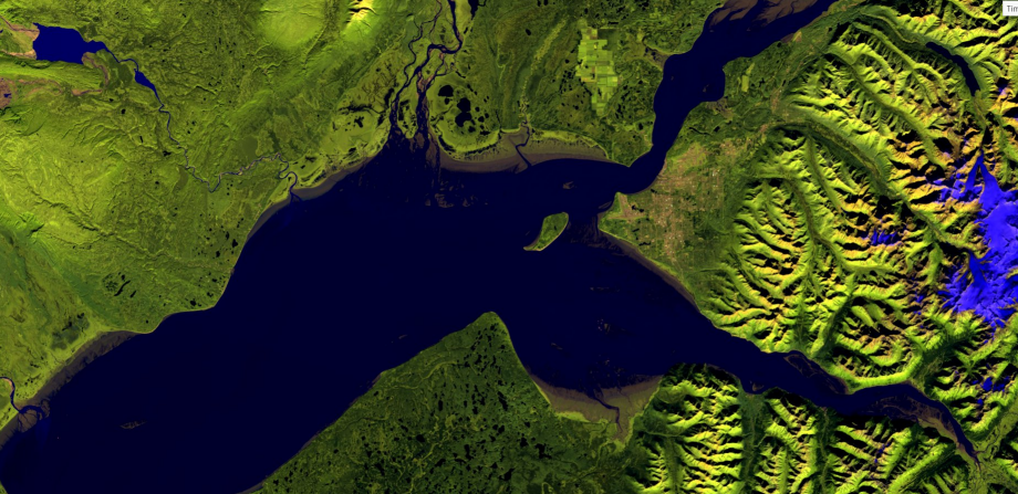
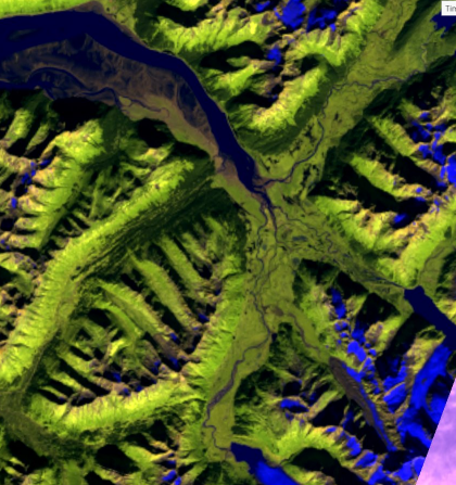
Above and below are images of Anchorage. You can see the cold, glacial melt rivers cutting through the sediment on the western side of the bay. The top image uses bands which can penetrate shallow water, revealing coastal bathymetric information. You also get a sense for why Anchorage is where it is. It’s not sitting on a sponge and the mountains to the east protect it to some degree from precipitation. The bright blue stuff below is ice.
Not too far from Anchorage is the Portage Glacier which is at the lower-right of the image below.
It’s hard to get a sense of scale when looking at glaciers from imagery. Here’s a photo I took of the same glacier with a pretty large ferry thrown in for scale. I’m guessing that what is in the photograph is showing maybe 15% of the glacier. 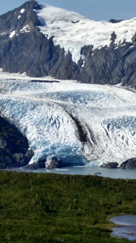
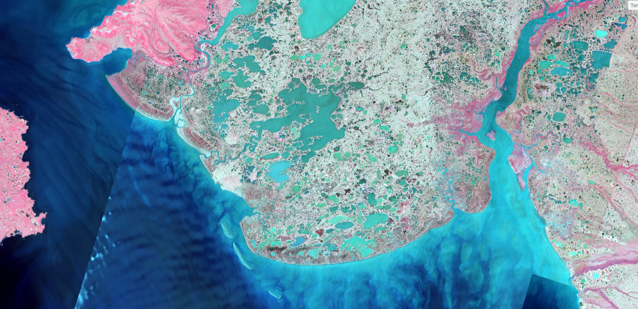
The image above is from far western Alaska with Nunivak Island at the far right of the image. I’ve never seen vegetation look pink in a false color image before. I have no idea why it looks this way. Feel free to take me to school in the comments.

Article Discussion: