The ArcGIS Content Team has just completed another update to the Living Atlas of the World. The user community has provided new and updated World Topographic Map content for cities, counties and universities in the United States, Canada, and Japan. Another thanks to our users and partners who are supporting Community Basemaps.
Applied Use – Topographic Map Updates, Useful Maps and Applications
Our newest contributor is Alachua County, FL (Topo 1:9k to 1:1k).
[iframe width=”600″ height=”350″ frameborder=”0″ scrolling=”no” marginheight=”0″ marginwidth=”0″ src=”http://arcgis-content.maps.arcgis.com/apps/Embed/index.html?webmap=b08933c8f3fc42b8a3335b8f239e36f9&extent=-82.3375,29.6444,-82.308,29.6596&zoom=true&scale=true&theme=light”][/iframe]
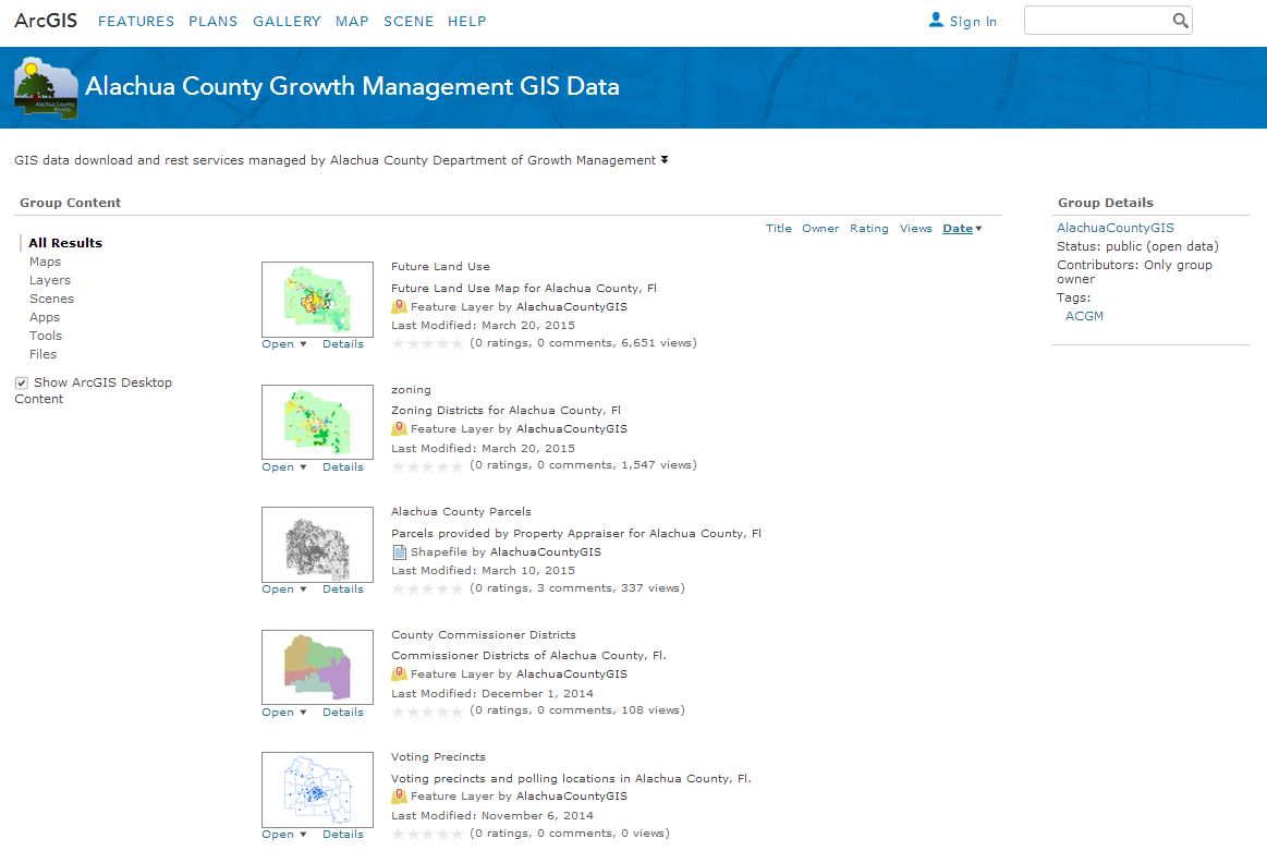
The Alachua County Growth Management Department is leveraging the ArcGIS Platform quite well by creating feature layers, web maps and applications that include topics like land use, preservation, public schools and zones, recreation amenities.
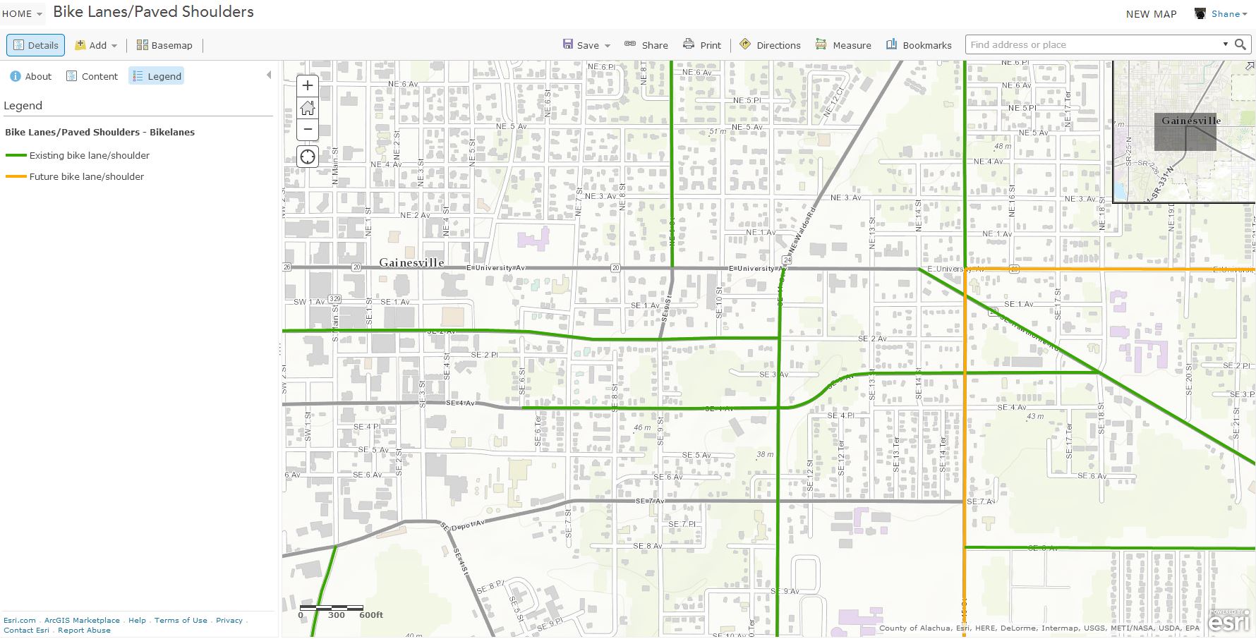
Here ‘s an example…
Alachua County Bike Lanes and Paved Shoulders This data set contains roadways having bike lanes or shoulders accommodating to bicycle traffic, or designated for improvements including adding bike lanes. This data set corresponds with the existing and future bike lanes in the map “Bike/Pedestrian Existing & Future Network” which is part of the Transportation Mobility Element in the Alachua County Comprehensive Plan.
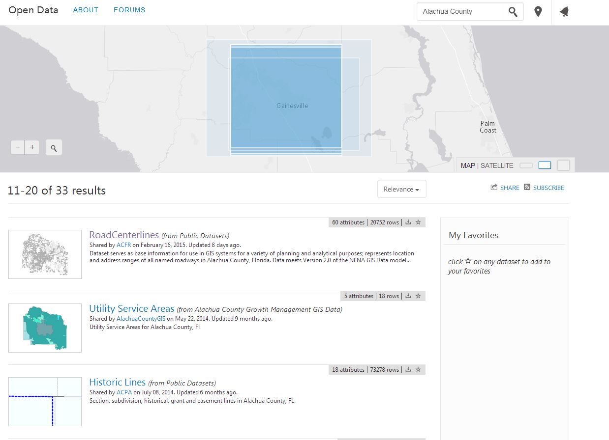
Alachua County is also contributing content to ArcGIS Open Data, where anyone can search across the entire community of shared open data.
Jacksonville, FL (Topo 1:9k to 1:1k) is another new contributor.
[iframe width=”600″ height=”350″ frameborder=”0″ scrolling=”no” marginheight=”0″ marginwidth=”0″ src=”http://arcgis-content.maps.arcgis.com/apps/Embed/index.html?webmap=da3ac66543484e8283f15983e04b936b&extent=-81.6633,30.3274,-81.6485,30.3349&zoom=true&scale=true&theme=light”][/iframe]
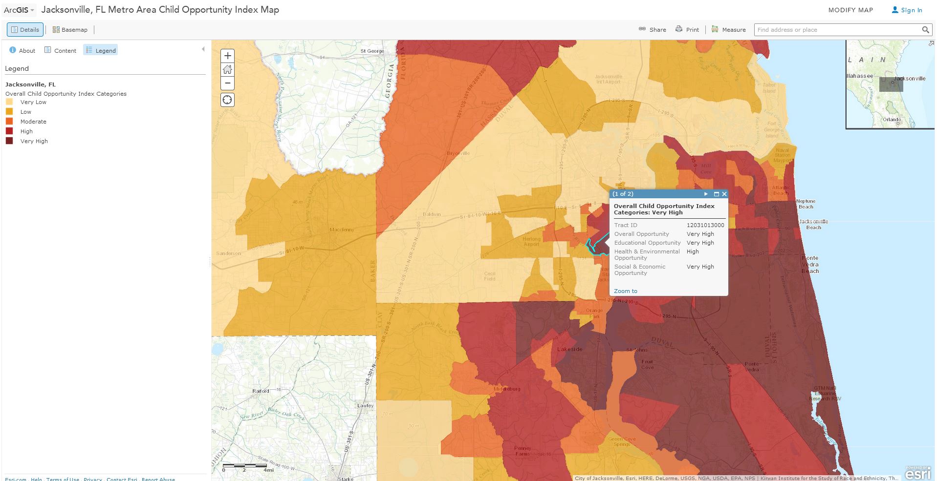
This is a good example of applied use of demographic content. Jacksonville can use this information in the context of their contributed basemap data. The Child Opportunity Index is calculated based on Education, Health & Built Environment and Neighborhood Social & Economic Opportunity indicators.
The Gateway to Yellowstone National Park, Red Lodge, MT (Topo 1:9k to 1:1k) has also contributed new content.
[iframe width=”600″ height=”350″ frameborder=”0″ scrolling=”no” marginheight=”0″ marginwidth=”0″ src=”http://arcgis-content.maps.arcgis.com/apps/Embed/index.html?webmap=9283d9bdb86349e2a2e4ade6deea3c43&extent=-109.2508,45.1848,-109.2428,45.1882&zoom=true&scale=true&theme=light”][/iframe]
Our next new contributor for this refresh is University of Idaho, ID (Topo 1:9k to 1:1k). The university located in the tight knit community of Moscow. Students and faculty will find that the newly contributed campus level detail that includes buildings, walking paths, trees and sidewalks will be a useful tool for navigating.
[iframe width=”600″ height=”350″ frameborder=”0″ scrolling=”no” marginheight=”0″ marginwidth=”0″ src=”http://arcgis-content.maps.arcgis.com/apps/Embed/index.html?webmap=da920ca87ae04ef5a3c0516e50e9a1f1&extent=-117.0204,46.7247,-117.0046,46.7313&zoom=true&scale=true&theme=light”][/iframe]
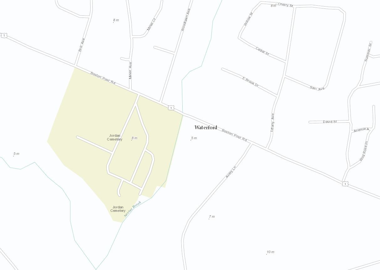
Rounding out our new contributors for this refresh is Waterford, CT (Topo 1:9k to 1:1k).
[iframe width=”600″ height=”350″ frameborder=”0″ scrolling=”no” marginheight=”0″ marginwidth=”0″ src=”http://arcgis-content.maps.arcgis.com/apps/Embed/index.html?webmap=bc6df8dd91a24def9bd52cd261631c0d&extent=-72.1459,41.3416,-72.13,41.3489&zoom=true&scale=true&theme=light”][/iframe]
Look how valuable a map can become when contributors share their authoritative content.
Before contributing
After contributing
This refresh also includes a few updates.
Country of Japan (Topo 1:577k to 1:1k)
[iframe width=”600″ height=”350″ frameborder=”0″ scrolling=”no” marginheight=”0″ marginwidth=”0″ src=”http://arcgis-content.maps.arcgis.com/apps/Embed/index.html?webmap=31558ca497eb4cc38c8b29ba939c742a&extent=136.8767,35.8312,138.9051,36.8269&zoom=true&scale=true&theme=light”][/iframe]
Nova Scotia (Topo 1:9k to 1:1k)
[iframe width=”600″ height=”350″ frameborder=”0″ scrolling=”no” marginheight=”0″ marginwidth=”0″ src=”http://arcgis-content.maps.arcgis.com/apps/Embed/index.html?webmap=8940080759f148a3820cf03fa68d2317&extent=-63.5926,44.6433,-63.5768,44.6502&zoom=true&scale=true&theme=light”][/iframe]
Yellowknife, Northwest Territories, Canada (Topo 1:9k to 1:1k)
[iframe width=”600″ height=”350″ frameborder=”0″ scrolling=”no” marginheight=”0″ marginwidth=”0″ src=”http://arcgis-content.maps.arcgis.com/apps/Embed/index.html?webmap=c02dce5ad21f4fd1a7f219328e6438dc&extent=-114.3772,62.4529,-114.3614,62.4574&zoom=true&scale=true&theme=light”][/iframe]
View this presentation for a tour of the new and updated content in the World Topographic Map.
Here’s a list of all the community contributors for this release:
World Topographic Map
- Alachua County, FL (Topo 1:9k to 1:1k) New Contributor
- Jacksonville, FL (Topo 1:9k to 1:1k) New Contributor
- Red Lodge, MT (Topo 1:9k to 1:1k) New Contributor
- University of Idaho, ID (Topo 1:9k to 1:1k) New Contributor
- Waterford, CT (Topo 1:9k to 1:1k) New Contributor
- Country of Japan (Topo 1:577k to 1:1k) Update
- Nova Scotia (Topo 1:9k to 1:1k) Update
- Yellowknife, Northwest Territories, Canada (Topo 1:9k to 1:1k) Update
New communities in Canada also include:
- Calgary
- Lethbridge
- Oakville
- Region of Waterloo
Updated communities in Canada also include:
- Fort St. John, BC
- Kelowna, BC
- Quesnel, BC
- Lethbridge, AB
- Sturgeon County, AB
- Waterloo, ON
- Repentigny, QC
- Cape Breton, NS
Community
The highly-anticipated Preparing Data for Community Maps Workshop self-study materials have been released! Now you can participate in this training at anytime, from anywhere.
Stay updated on program news, tips and tricks, user success stories, training events, and participant contributions by subscribing to the Community Maps Newsletter. You can have the newsletter sent right to your inbox by subscribing here.
Share your story: How has contributing to the Living Atlas Community benefited your organization? Has your participation helped meet a particular challenge? Email us at communitymaps@esri.com so we can promote your success.
Contributions and Feedback
These contributions were made through the Community Maps Program.
For more information visit the Community Maps Program Resource Center.
The service was updated on the following servers: services.arcgisonline.com and server.arcgisonline.com. If you have previously used the World_Topo_Map, you may need to clear your cache in order to see the updates.
If you have feedback on content, try our Topographic Map Feedback web map.
If you have other feedback or comments, please post them to the ArcGIS Online Discussion Group and the Living Atlas Discussion Group on GeoNet.



Article Discussion: