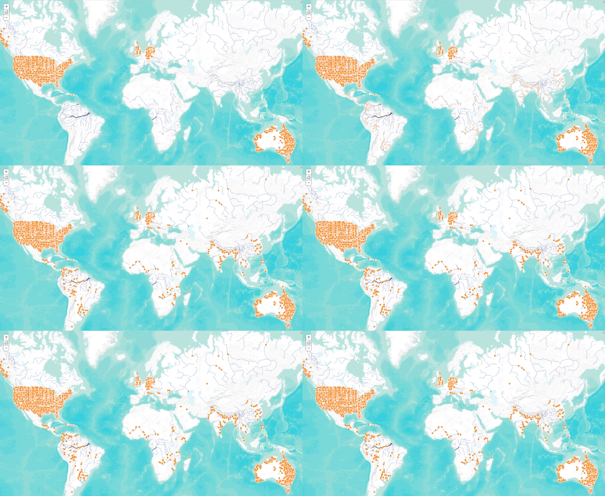
In countries like the United States and Germany, federal agencies keep careful watch on the nation’s rivers, and disseminate their observations to the public. But in developing nations, many of the world’s major rivers remain un-gauged, despite the millions of people whose lives depend on them. The Dartmouth Flood Observatory hopes to help solve this problem with a concept they call “satellite gauging sites,” which makes it possible to monitor the flowrate of rivers using freely available satellite data, without the need to build or maintain expensive infrastructure.

They key to this method is the microwave sensors carried aboard satellites like AMSR, TRMM, and GPM. As the amount of water on the landscape increases, emissions in the microwave spectrum decrease – a clear signal that can be used to track flowrate. Microwaves are unaffected by cloud, but absorbed by liquid water, which means that Flood Observatory scientists can monitor river conditions even when the ground is visibly obscured by weather.

The numerical estimates are much less accurate than ground-based gauging, of course, but still extremely valuable. As a relative estimate of how the flowrate is changing over time, they can be used to track droughts and floods, and to analyze long-term changes in the flow regime.
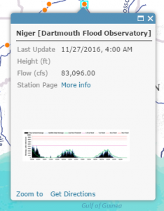
In order to make them more easily available to the GIS community, Esri has added these satellite gauging sites to the Live Stream Gauge map. When you click on one, it displays an estimate of today’s average flowrate, a description of the status (e.g. low flow, moderate flood, major flood), and a graph showing the time series. There is also a link to the station page, where you can get monthly and annual flow estimates, as well as some information about the calibration and accuracy of that particular site.
This latest update also included new contributions from England’s Environment Agency, the State of Nebraska, the State of Oregon, and the Iowa Flood Center – over 3000 new gauges in total – so if you haven’t checked it out in a while, now is a great time to take another look. For those of you who have been using this map, please let us know your thoughts about it in the comments. Thank you to all our stream gauge contributors!


Article Discussion: