The latest release of ArcGIS Location Platform is here, bringing Model Context Protocol (MCP) support in beta as well as the new ArcGIS Static Maps service for improved end user experience.
MCP Support for Agentic AI Workflows

As of June 29, 2026, MCP support for ArcGIS Location Services is available in beta. This is a significant step forward in strengthening agentic AI workflows with location context. Transform the way end users experience your applications by connecting location services to AI agents.
Join Esri’s Early Adopter Community to try the MCP today!
What Spatial Insight Does ArcGIS Location Platform Bring to AI Agents?
MCP support in ArcGIS Location Platform enables AI agents to discover and invoke location services. This empowers end users to interact with applications through natural language giving a conversational user experience powered by precise, authoritative location services.
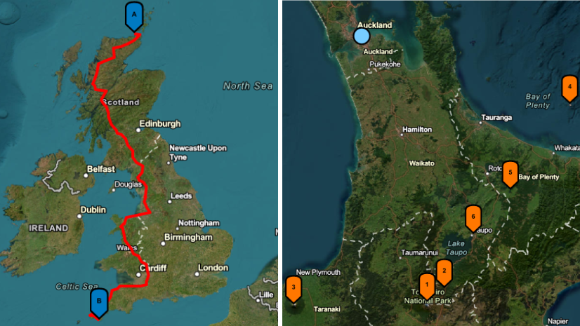
A user could ask “How do I get from the convention center to the nearest hotel?” or “What’s the elevation along this hiking trail?” and your application will respond intelligently, dynamically, and in context.
What ArcGIS Location Platform services are available via MCP?
During the beta period, the MCP will support the following location-based capabilities:
- Geocoding
- Routing
- Elevation
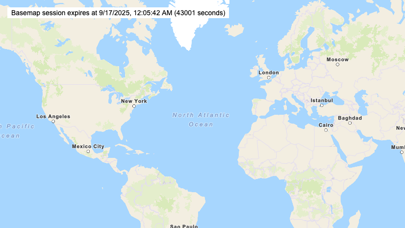
- Static maps
Can AI Agents Use Multiple Location Services from a Single Prompt?
By leveraging the MCP, AI agents can chain together multiple services within a prompt. As a result, your application can handle complex, multi-step location queries seamlessly. A user might ask, “Find the closest company warehouse and give me directions on how to get there” or they might say “Give me a static map of a 3-mile radius with our store location at the center.”
How Does Pricing for the MCP in ArcGIS Location Platform Work?
There are no additional charges for using location services through the MCP itself, whether during beta or when it reaches general availability. Standard service consumption charges will apply based on service usage, just as it is today if you were calling each service manually.
How Do I Get Started with the MCP for ArcGIS Location Platform?
We’re inviting developers to be among the first to connect location services to agentic AI starting June 29, 2026, in Esri’s Early Adopter Community. You can access comprehensive documentation to get started. Shape the future of MCP support by providing valuable feedback!
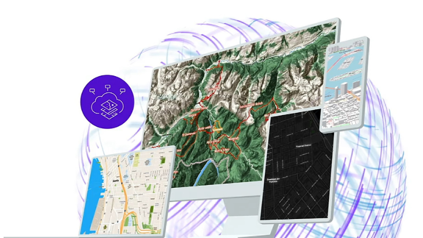
Static Map Images for Your Solutions

ArcGIS Static Maps service will be released into general availability July 2026. The new service makes it easy to generate and embed customizable map images directly into your websites and applications. For a deeper look at everything this service offers and gain access to resources, read “Everything You Need to Know About the ArcGIS Static Maps Service.”
Get Started and Stay Connected
Haven’t started your ArcGIS Location Platform journey? Create your free account today!
Interested in staying current with ArcGIS Location Platform? Sign up for the Esri Developer Newsletter and follow Esri Developers on LinkedIn to get the latest.


Commenting is not enabled for this article.