Teach with GIS: An Implementation Guide for Teachers, Schools, and Districts is a new resource for getting started with GIS in the classroom. Visit the site to download a free, easy-to-follow guide that is specific to your scale of GIS curriculum integration. Our goal is to support you in how to start teaching with maps and to give you the tools that allow your students to solve complex spatial problems using ArcGIS.
The guides and exercises are authored by three teachers, Lyn Malone, Kathryn Keranen, and Michael Wagner. These guides combine their years of knowledge and experience on how to successfully kick-start a GIS program into your classroom, throughout your school, or across entire school districts. At Teach with GIS, there are two resources for getting started with implementing your own GIS program:
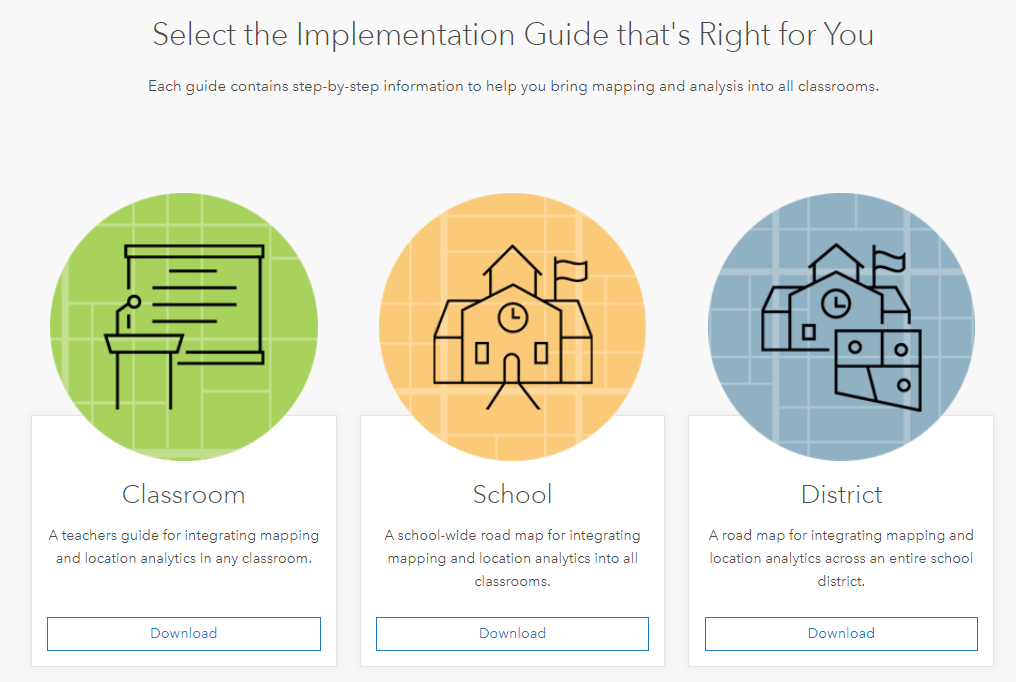
- Select an Implementation Guide that’s right for you
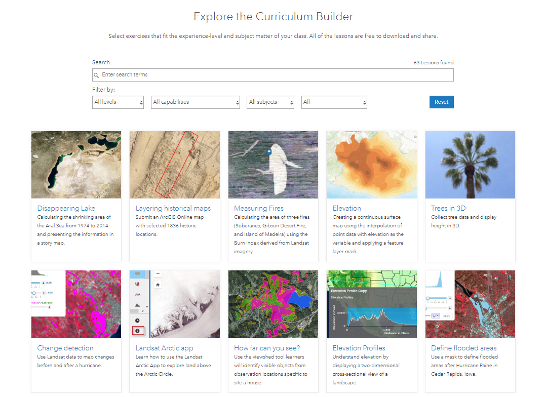
- Explore the Curriculum Builder
The Implementation Guides
Whether you are a teacher, school, or district administrator, you’ll find a guide that is specific to your role.

The Curriculum Builder
Also available at the Teach with GIS web page will be over 100 hands-on, problem-based exercises from the Instructional Guides for the ArcGIS Book series. Using the Curriculum Builder, you’ll be able to filter out lessons based on experience level, GIS concepts, and subject matter. Instructors will also be able to select lessons that don’t require the students to login to ArcGIS Online, in addition to exercises that use an ArcGIS Online Account to access more analysis tools, web maps, and apps.

Who is Teach with GIS for?
These guides and exercises support teachers, school and district IT administrators, school principals, district superintendents, geomentors, community college instructors, teacher’s assistants, university professors from any discipline, libraries, and non-profit organizations.
Session at the User Conference in San Diego
Please join us at the Esri Education User Conference on Sunday July 8th at 2:30 pm for a discussion panel with the authors of the Implementation Guides – Kathryn Keranen, Lyn Malone, and Michael Wagner.


Commenting is not enabled for this article.