Mapping

National Geographic style basemap

By Aileen Buckley, Mapping Center Lead

NGBasemap - thumbnail

In case you missed the original announcement back in mid-December, National Geographic and Esri have collaborated on the production of a new basemap that reflects the NG cartographic design, typographic style, and map policies.

This basemap provides a visually appealing background for web mapping applications for mobile users, consumers, and educational purposes, and is also well suited as a general reference map for many GIS projects.

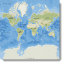
Here are some samples from this basemap.

NGBasemap - South America

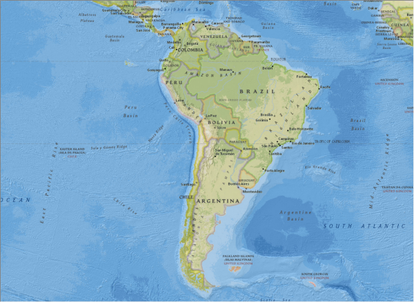
Figure 1. South America
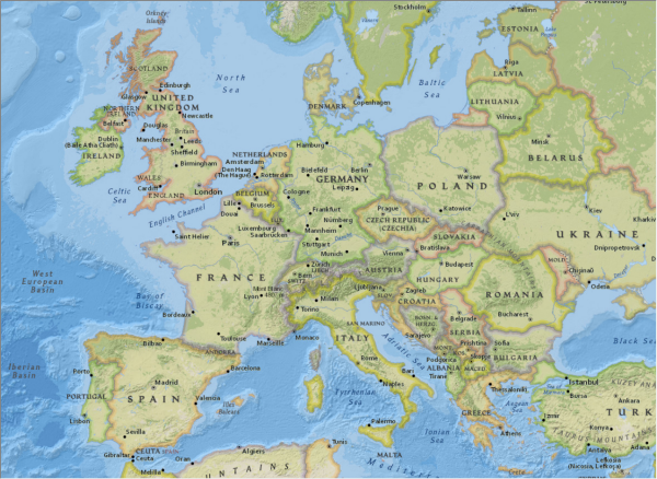
NGBasemap - Europe

Figure 2. Europe

NGBasemap - MIddle East

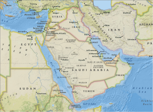
Figure 3. Middle East

NGBasemap - India

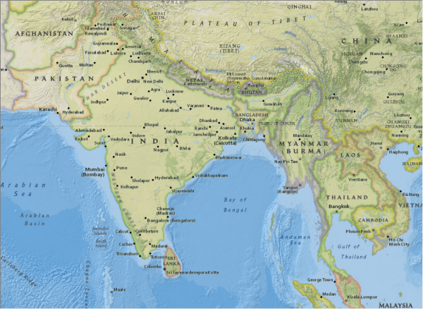
Figure 4. Pakistan, India and portions of southeast Asia

This National Geographic World Map has been added to the collection of existing ArcGIS Online basemaps that users can access freely for internal and external use.

Get more details about this map and start using it today.

About the author

Dr. Aileen Buckley has been making maps since she was an undergraduate student. She has a Bachelors in Geography and Spanish from Valparaiso University, a Masters in Geography from Indiana University, and a Ph.D. in Geography from Oregon State University. She is a senior product engineer on the Living Atlas team, and her work focuses on determining and sharing best practices for mapping and analysis with modern GIS. She publishes and presents world-wide on many aspects of mapping and GIS. She is a co-author of Map Use: Reading, Analysis, Interpretation, and she is a co-editor for the Atlas of Oregon. Aileen is a former president of CaGIS (the U.S. cartographic association) and is actively involved with the International Cartographic Association in which she is the lead delegate for the United States.

Connect:
0 Comments
Inline Feedbacks
View all comments

Next Article

When are expert sources right for your story?

Read this article