It’s that time of year again. Perhaps projects are winding down or you’re eyeing up some well-deserved vacation time before the new year. It’s also that time when you might pause and look at the things you accomplished over the year; I’d argue there’s no better work to admire than the work of cartographic nature.
While admiring maps of the past year you might also be contemplating what’s next for 2023. With the new year right around the corner, resolutions for personal improvement come into mind: clicking ‘save’ more often, making more great stories, organizing the files on your hard drive, or perhaps even sprucing up your desktop background.
To help with that last resolution, we on the StoryMaps team have bundled up a handful of maps to spread the cartographic cheer, and they might just be the new desktop or mobile wallpaper you’ve been looking for. Set it now and it’ll feel fresh and new when you log in next year.
While these maps support a larger narrative within the context of their respective stories, they also work well standing on their own and in the case of these maps tell stories of the ocean deep, incredible migrations, and some truly electric datasets.
So, download away and deck out your desktop before the new year!
Maps for download
Some of the maps listed below include other compositions or thematic layers to suit your visual desires. Check out all the downloads for all the different versions.
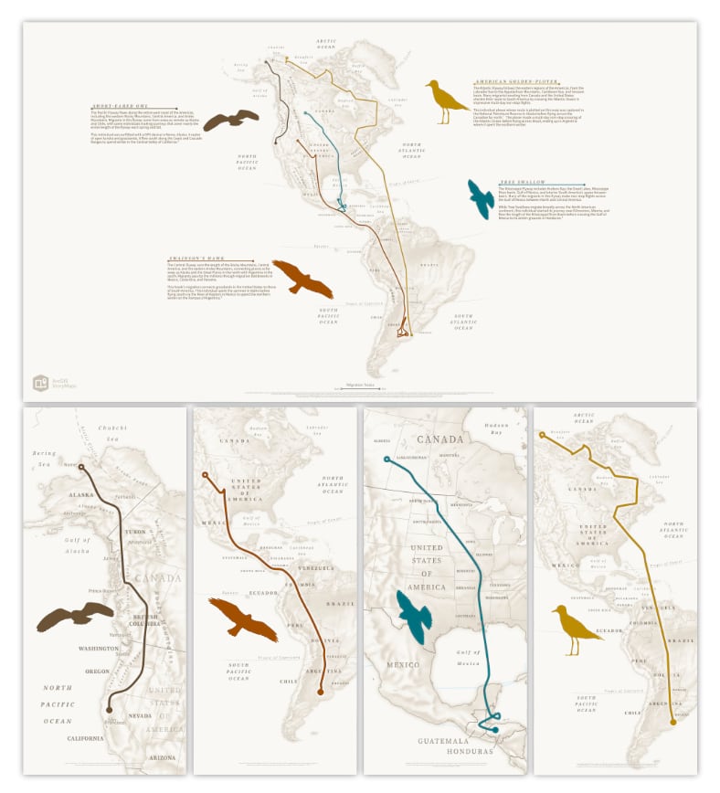
Aerial odysseys: Every spring and fall billions of birds embark on incredible migrations between their summer and winter ranges. Explore the journeys of 4 species across the flyways spanning the Western Hemisphere.
Download the backgrounds | View the original story
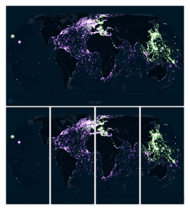
Resurfacing the past: Explore the geography of naval combat in WWII with these maps of sunken ships. Each point represents a single vessel that sank during the Second World War. In aggregate, the points highlight key flashpoints in the conflict, and underscore the war’s global reach.
Download the backgrounds | View the original story
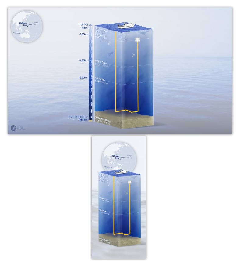
Challenge accepted: Join Dawn Wright, Esri’s chief scientist, on her remarkable voyage to the depths of Challenger Deep in support of seafloor mapping and ocean exploration.
Download the backgrounds | View the original story
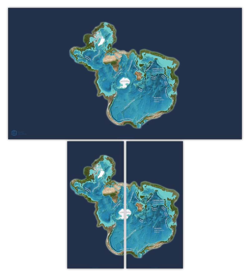
Why we map the ocean floor: The ocean covers 70% of the Earth’s surface, but we know less about the ocean’s deepest depths than we know about the surface of the moon or Mars. These colorful oceanic maps, presented in the unorthodox Spilhaus projection, invite you to peer beneath the ocean’s surface and explore the topography of the deep.
Download the backgrounds | View the original story
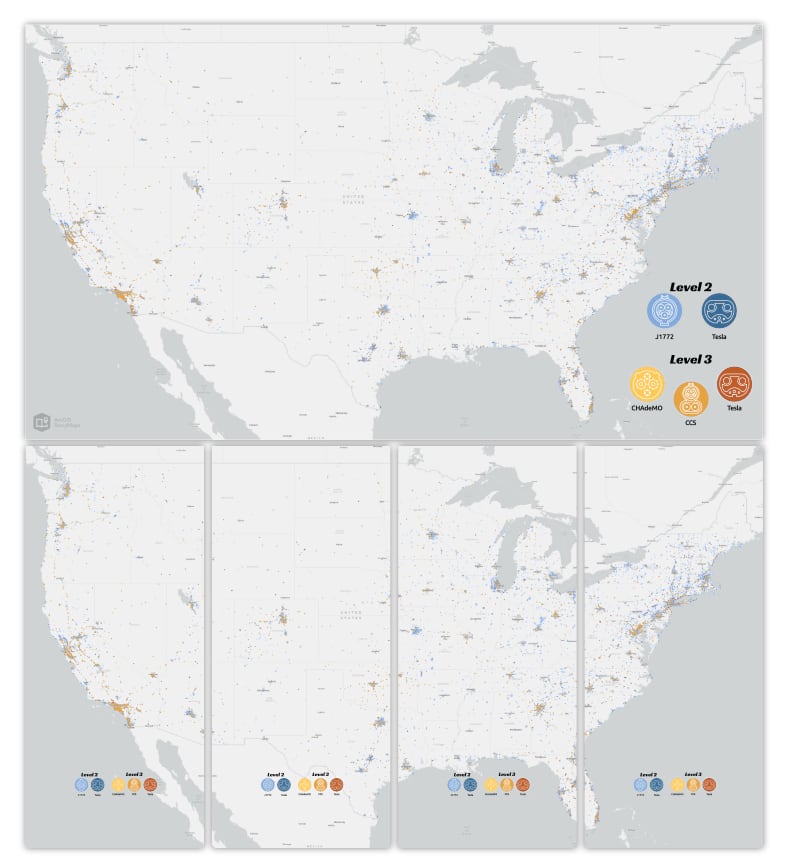
Charging across the country: Have an electric car? Travelling to see relatives over the holidays? Planning a long-distance road trip with an EV may not be the most straightforward part of your trip. These maps visualize the distribution of all the different types of charging stations you may come across on your travels.


Article Discussion: