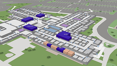
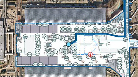
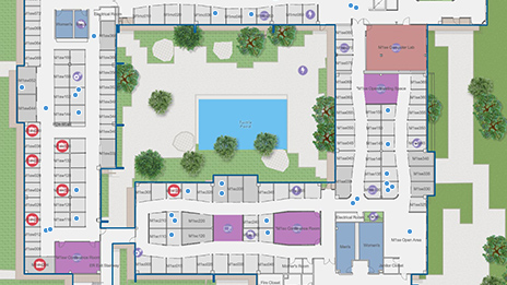
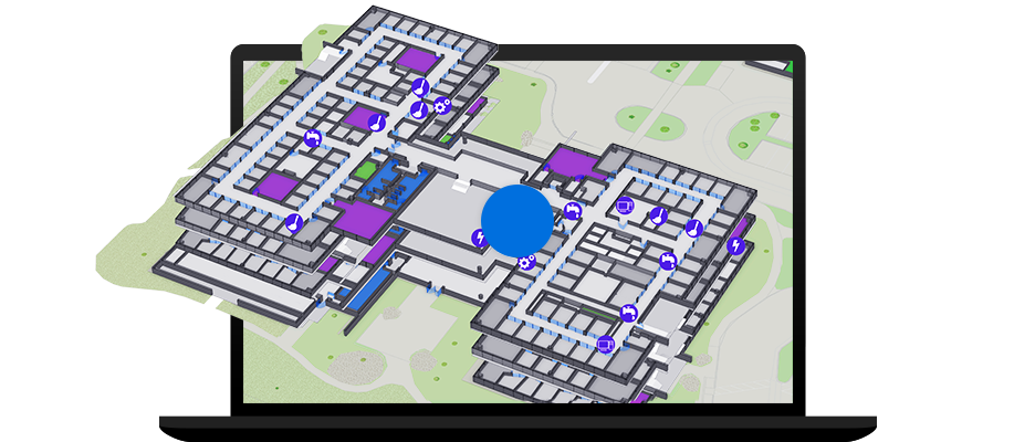
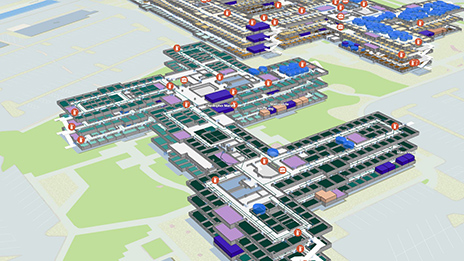
Skip to Content
,

Indoor GIS

Redefine your spaces with location information

A complete geospatial indoor mapping system to unlock the data within your facilities

Get started with indoor GIS
Woman on a laptop looking at an indoor map of a building with building floorplan, asset, and routing data

What is indoor GIS?

Indoor geographic information system (GIS) is a complete geospatial system to create, manage, analyze, and map indoor data that enables shared awareness of your facility operations to deliver greater efficiency and engagement.

See indoor GIS in action
A digital image of two connected multi-level gray buildings representing an indoor GIS interface with data points

Bring your GIS indoors

Indoor location technology provides visibility into asset locations, patterns of use, and analytics to understand spaces and find smarter ways to interact with our built environments. This indoor mapping system includes tools to create and manage indoor data, maps, and apps.

Previous
Next

Advantages of indoor GIS

For managing facility assets, a unified picture centralized around location is key to delivering actionable intelligence. Understanding where any asset is—in a digital platform that connects multiple data sources—allows for a single source of truth for smart building management.

Previous
Next

Create a new source of business intelligence

Indoor mapping technology is more than a point solution for improving on-site experiences. It's a way to create intelligence and better understand the spaces we occupy, and to find smarter ways to interact with our built environments. As part of a broader system of location-based technology, Esri's indoor mapping system connects facility data with other sources including CAD, BIM, and reality capture with advanced analysis to help you make confident, informed decisions that lead your organization into the future. Change the way your organization operates from the inside, out.

Learn more about indoor GIS
Executive looking at a tablet next to an illustration of indoor GIS data of a building with green and blue squares

Leverage a connected system for improved operations

Indoor location technology is designed to be applied within a limited space. However, Esri's geospatial indoor mapping system offers interoperability that adds organizational value well beyond your facility walls. With comprehensive indoor capabilities that connect to your existing GIS and business systems, you can monitor your space, understand how it's used, and create a more productive environment to add even more context to your current operating picture.

Get started
Two facilities managers looking at a laptop with an indoor GIS interface next to digital rendering of building areas
Previous
Next

EBOOK

The Smart Workplace: Indoor GIS for Smart Building

Organizations are leveraging indoor location intelligence to advance their efficiency and deliver better experiences for employees and visitors.

Download the ebook

Contact sales


Find out how Indoor GIS can transform your organization.