
Integrated geospatial infrastructure
Modern SDI helps address shared challenges by interconnecting organizations across borders, jurisdictions, and sectors.

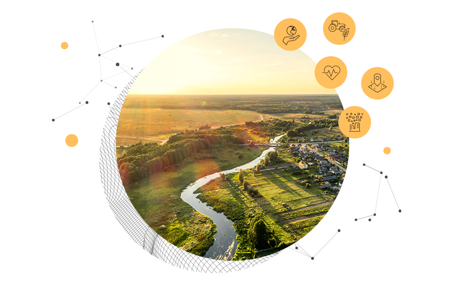
A standards-based solution for European public authorities

Easily put INSPIRE web services to work throughout the ArcGIS ecosystem, including dashboards, surveys, stories, and field apps. Generate value for society with applications that stimulate economic growth, spur innovation, address societal challenges, enhance evidence-based policy making, and foster citizen participation.

Ensure that your spatial datasets are available according to Findable, Accessible, Interoperable, Reusable (FAIR) data principles and the EU Open Data Directive. ArcGIS Online provides modern web services in human- and machine-readable formats, provided via APIs and in bulk downloads. ArcGIS Hub automates Search Engine Optimization (SEO) techniques and DCAT-AP feeds for open data federation.

The INSPIRE Directive is evolving, working to simplify and mainstream technical requirements. ArcGIS INSPIRE Open Data supports this effort by implementing endorsed INSPIRE good practices that are easier, faster, and more pragmatic. It is an end-to-end solution to produce, publish, share, and use streamlined INSPIRE data like any other data.

Ensure that your hosted web services can meet demand when sharing your data with your community or the world. Nondevelopers can quickly put scalable web services to use in decision-ready information products. Make an impact by using a suite of easy-to-build no-code and low-code applications that come with ArcGIS.

Esri's APIs, software developer kits (SDKs), and ArcGIS Location Platform(a platform as a service offering) make it easy for developers to innovate with open data. In addition, third-party open-source JavaScript mapping APIs, like Leaflet, OpenLayers, and Mapbox GL JS, can easily leverage the ArcGIS REST API.

International open standards help ensure data and system interoperability. ArcGIS INSPIRE Open Data is an interoperable solution that drives efficiency and innovation, supports the most current standards, and uses a modern web design architecture.


ArcGIS INSPIRE Open Data is a no-cost solution. It requires the Creator, Professional, or Professional Plus user type.
Use ArcGIS Pro with tools to load your data into a selection of streamlined INSPIRE GDB Alternative Encoding templates.
Publish streamlined web services and metadata using ArcGIS Online with GeoServices REST, OGC Web Map Tile Service (WMTS), and OGC API Features.
Engage your community and deliver open data using ArcGIS Hub. Federate with other EU open data portals with the data catalog vocabulary DCAT-AP.

Leverage a single system of systems and its benefits to meet your INSPIRE and Open Data Directive obligations.
Use out-of-the-box tools and templates in ArcGIS Pro to produce streamlined INSPIRE data.
Publish INSPIRE information products and enable distributed collaboration with ArcGIS Online.
Engage with your community through open data, maps, and apps using ArcGIS Hub.
Integrated geospatial infrastructure

GDPR

Open vision

Digital twins
Learn more about ArcGIS INSPIRE Open Data and related topics with these resources.
Exchange ideas, solve problems, and build relationships with your INSPIRE peers in Esri Community.
Exchange ideas, solve problems, and build relationships with other ArcGIS Hub users in the Esri Community.
Read the latest news on open data, standards, collaboration, INSPIRE, and more.
Esri is supported by European companies in 27 locations and 3 dedicated research centers, leading innovation in Europe.
Please share your information and our sales team will contact you soon. We look forward to communicating with you.