MCP now supported
Enable AI agents to discover, invoke, and chain multiple location services together to solve different use cases.

Industry-leading location services, data services, and spatial analysis services
Build mapping apps and solutions using a comprehensive suite of maps, APIs, SDKs, and tools. Access premier location services such as data enrichment, points of interest (POIs), and elevation.
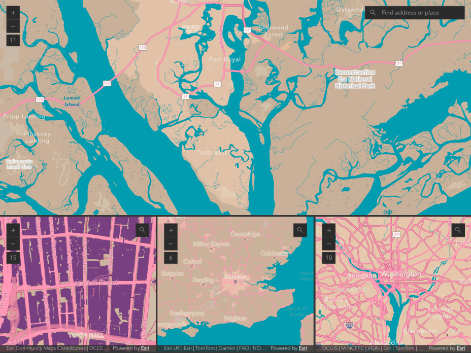
Display authoritative maps and geographic data in 2D or 3D anywhere on the globe. Access more than 50 map styles or create your own custom map styles to build performant apps across web, mobile, and desktop.
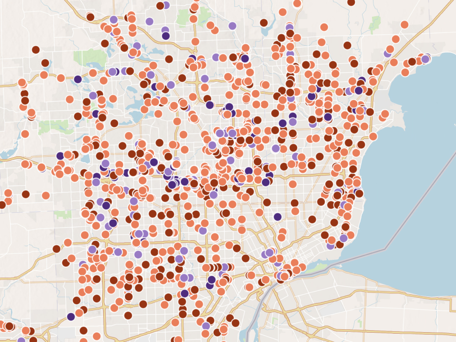
Convert addresses and place names into precise geographic coordinates with global coverage and robust APIs including reverse geocoding, batch geocoding, and autosuggest.
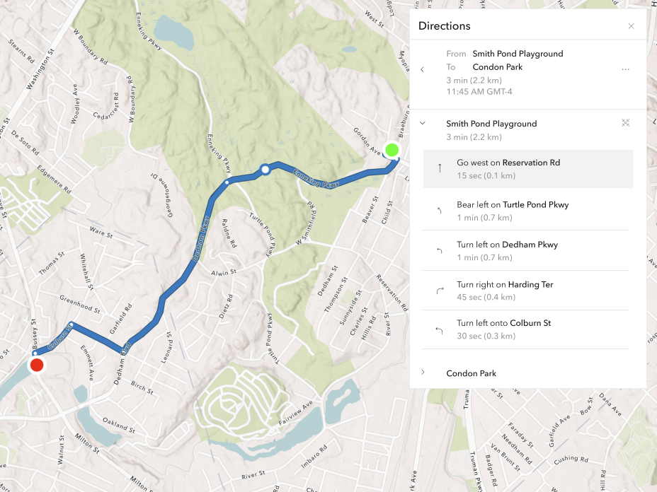
Find optimal routes and generate turn‑by‑turn directions using real‑world street networks and near real-time traffic data. Get advanced routing capabilities for logistics, fleet operations, travel analysis, and more.
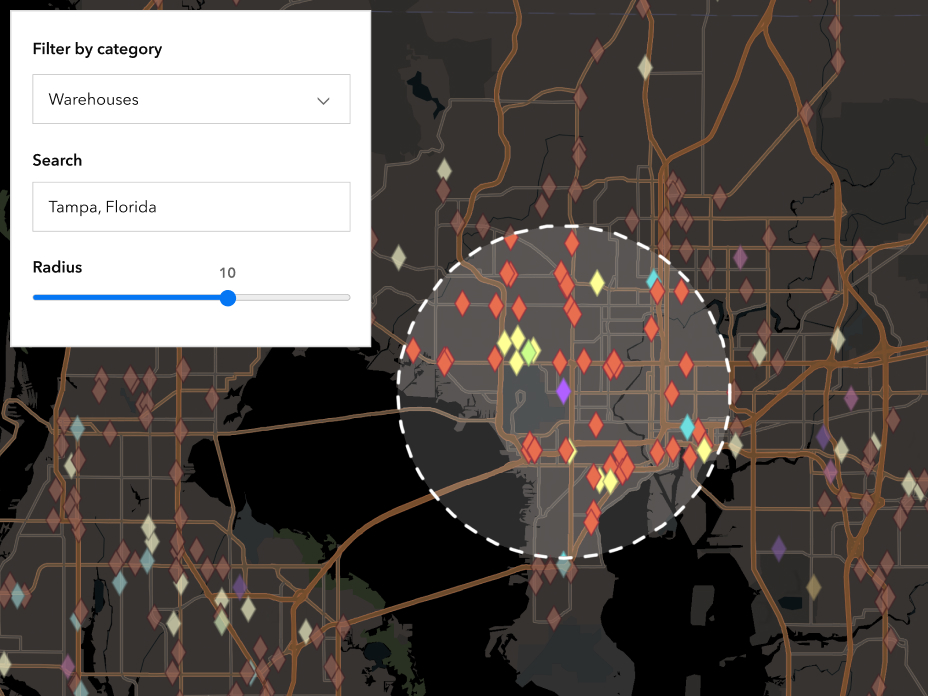
Add detailed place data to your apps with access to millions of points of interest, including businesses and specific locations. Explore more than 1,000 place categories and rich, regularly updated location details worldwide.
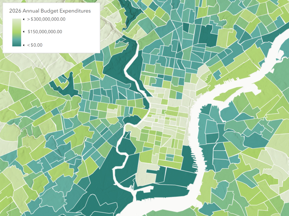
Enrich your data with precise demographic, socioeconomic, and behavioral information to improve analysis, reveal patterns, support location-based decisions, and create more meaningful customer experiences.
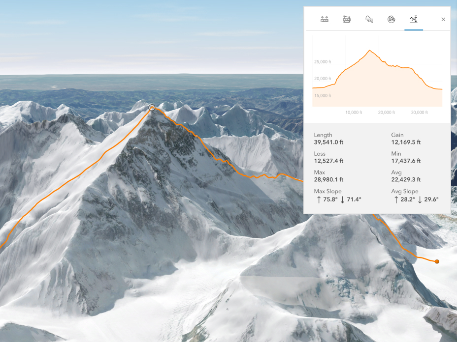
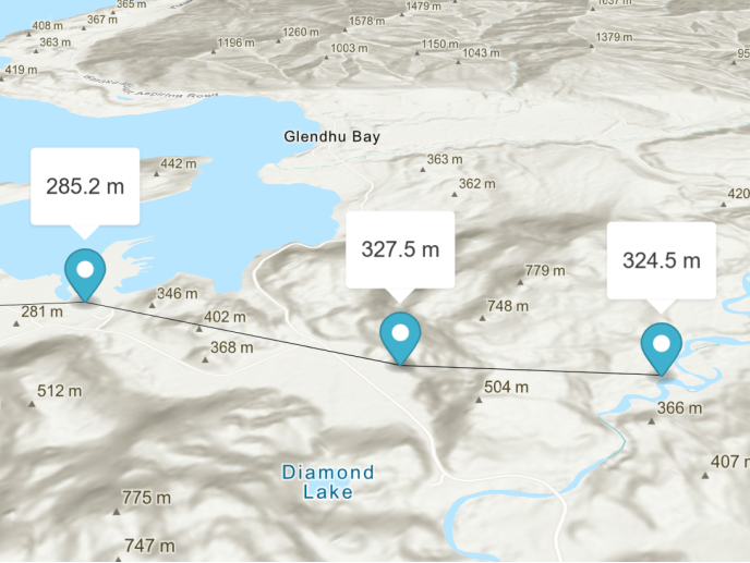
Incorporate global elevation data into your apps and solutions. Generate elevation profiles, analyze visibility, and understand elevation above ground and beneath the ocean.
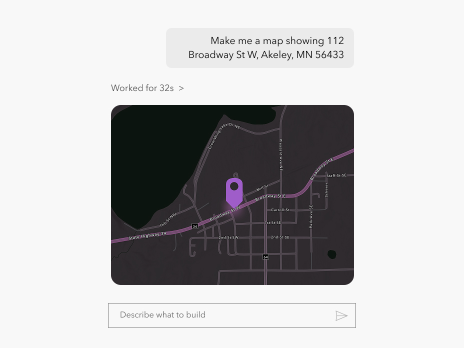
Securely connect AI agents to location services using Model Context Protocol (MCP), allowing you to self-serve, experiment, and operationalize AI agents how you choose.

Use the same development patterns, authentication, and pricing models you already know, now for AI agents.
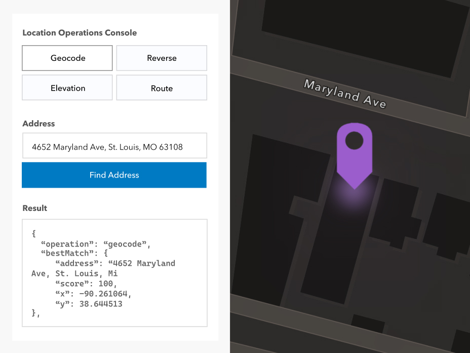
Simplify AI development with frictionless access to our hosted MCP support—minimal setup and no custom integrations required.
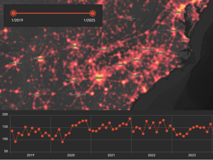
Build interactive mapping solutions for any device and create stunning, immersive experiences. Create web apps, build native apps, or develop with game engine technology.
Easily integrate ArcGIS Location Services with open-source libraries so you can leverage your existing investments. Includes Leaflet, OpenLayers, MapLibre, and CesiumJS.
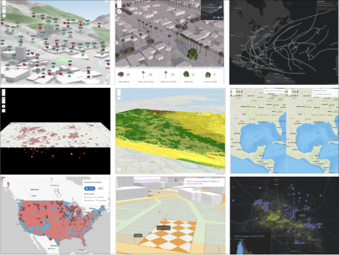
Explore samples, tutorials, guides, and reference documentation to accelerate development and reduce time to production.
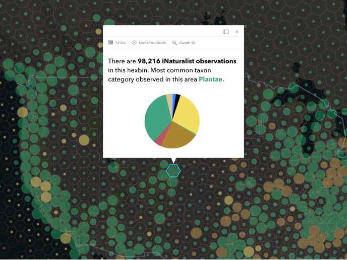
Deliver fast, scalable, visually compelling mapping experiences with optimized rendering and production‑ready architecture.

Host your spatial data in ArcGIS and access it as a service—ready for querying, visualization, and analysis. Hosted data services give you a secure, scalable foundation for your apps.
Create, manage, and access content, data services, users, and groups in a portal. Share content privately or publicly.

Add value to your data or your customers’ data with location and data services. Publish your spatial and nonspatial data as different types of services.
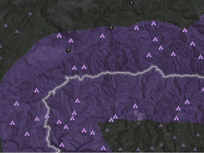
Enhance your apps with unique and specialized spatial analysis tools provided by ArcGIS. Use client and server APIs to perform spatial tasks like buffers, proximity search, spatial joins, and more, customized to your workflows and data.
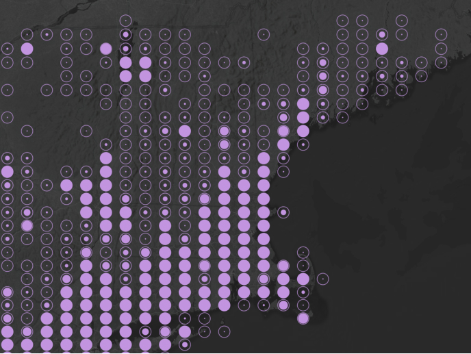
The feature analysis service lets you process large feature datasets at scale. Ideal for running spatial joins, aggregations, or pattern analysis across millions of records with minimal setup and effort.
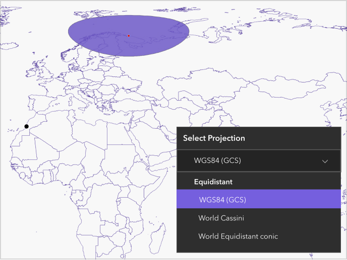
Learn how to use developer tools, APIs, and SDKs to access services and build applications.
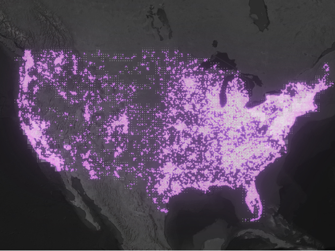
Use spatial analysis to reveal trends, relationships, and patterns in your data. Understand where customers cluster, how assets are distributed, or where service gaps exist.
ArcGIS Location Platform offers a suite of location services that fall into the following categories:
All available services are listed on the pricing page. To learn how to use each service in your apps and solutions, visit mapping and location services.
To access location services, you can use an ArcGIS Location Platform account, or an ArcGIS Online or ArcGIS Enterprise account if you are a member of an organization.
An ArcGIS Location Platform subscription provides a free tier of access to the services listed on the pricing page. You also pay for only the service you use with monthly invoicing, and you are able to deploy commercial apps utilizing ArcGIS services. You must enable pay-as-you-go to access the full capabilities of location services.
With an ArcGIS Online or ArcGIS Enterprise account, you have access to location services defined by the role and permissions of your account.
For a complete list of services by ArcGIS product, view the What product and account type can I use to access ArcGIS Location Services? question in the mapping and location services guide.
To learn more about access to services, visit the ArcGIS accounts page in the security and authentication guide.
You can monitor the usage of location services at the following locations:
Yes, with your ArcGIS Location Platform account you can create an API key and scope it to a particular service, set of services, or items owned by your account. Refer to API key privileges for a list of services and privileges.
You can scope an API key to a content item that belongs to your account. Using the Developer Credentials page, select an API key and click Manage credential. On the item page, click Settings. In the Application section of the page, find the Privileges section and then click Edit item access. You will be presented with a list of available items you can scope for API key access. Learn more in security and authentication.
Yes, ArcGIS Location Platform is resilient and scales with your application.
You can use ArcGIS Maps SDKs, open source libraries, and scripting APIs to access location services. To learn more about each, go to the SDKs and APIs documentation.
Start a chat
Fill out the contact form