A smooth gradient transitioning from deep blue to vibrant purple.

Real-Time Visualization and Analytics

Gain insights into real-time and big data through location intelligence
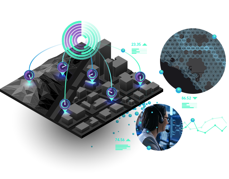
Woman with a headset at a computer and gray 3D image with clock icons, blocks, and numerical data

Tap into the Internet of Things (IoT) to analyze and display real-time data from sensors, devices, and social media feeds. Understand and discover the hidden patterns and trends in your massive datasets by applying spatiotemporal analytics that utilize distributed computing. Gain situational awareness from your streaming data whether you are tracking moving assets or stationary sensors using location-powered analytic tools. Focus on every event that matters most to you with real-time monitoring and big data analytics so you can make the right decision at the right time.

Real time in ArcGIS

ArcGIS offers powerful, real-time capabilities behind the firewall and in the cloud.

ArcGIS Velocity

Cloud and enterprise ready

  • Available as SaaS with ArcGIS Online or self-hosted with ArcGIS Enterprise

  • High-speed, real-time data ingestion, processing, and analysis

  • Big data analysis (ArcGIS Online only)

  • Modern architecture designed for scalability and reliability

  • Intuitive user experience for building and managing analytic workflows

Explore ArcGIS Velocity

ArcGIS GeoEvent Server

Enterprise ready | Being deprecated in 2027

  • On-premises, requires ArcGIS Enterprise

  • Secure deployments in local or cloud environments

  • Real-time data ingestion, processing, and analysis

  • Advanced real-time processing

  • Extensibility and customer analysis

Explore ArcGIS GeoEvent Server

Contact sales


Talk to someone on our sales team

1-800-447-9778

7:00 a.m.–5:00 p.m., Monday through Friday (PT)

Outside the US?