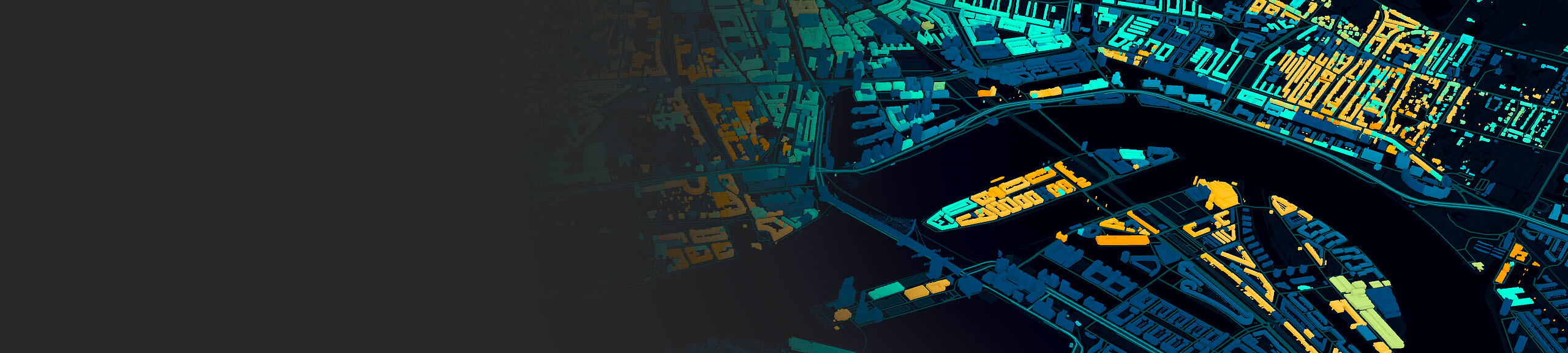
Data capture and integration
Digital twins modernize how organizations capture and visualize data, integrate networks, and analyze information.
From digital twin to real-time win
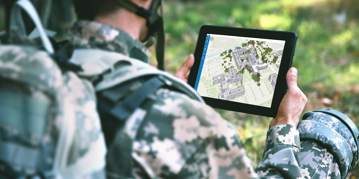
Digital twins enable defense and intelligence professionals to better plan, train, prepare, and conduct operations anywhere in the world.
A digital twin is a virtual representation of the real world, including physical objects, processes, relationships, and behaviors. Esri’s ArcGIS provides a system for capturing and representing place and time in 2D and 3D. Location is the common key that’s needed to integrate disparate data and information into a common framework for visualization, analysis, and enhanced and efficient decision-making. Developing digital twins enables defense and intelligence leaders to understand the impacts of external factors, mitigate risk, and plan operations.
With over 1,000 prebuilt, customizable tools, ArcGIS empowers organizations to integrate, analyze, and visualize data from multiple sources. It provides the capability to effectively communicate and securely share selected information externally.
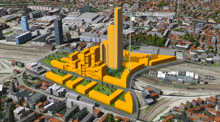
ArcGIS CityEngine is advanced 3D modeling software for creating massive, interactive, and immersive urban environments quickly and easily.
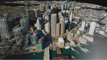
Turn drone and aerial imagery into visually stunning, highly accurate maps and 3D models to enhance your digital twin.
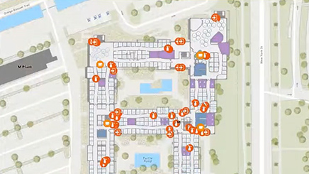
Build an indoor geographic information system (GIS) and embrace the power of indoor mapping, wayfinding, and space management.

ArcGIS IndoorsIngest data in different formats from ArcGIS or a URL to explore areas of interest in 3D.
Let Esri be a part of your digital transformation mission—one based on integrating data and information from many models in a common framework for visualization, analysis, and more efficient decision-making.