A comprehensive system
Perform every imagery and remote sensing workflow in one software environment, from planning drone flights to training deep learning models.
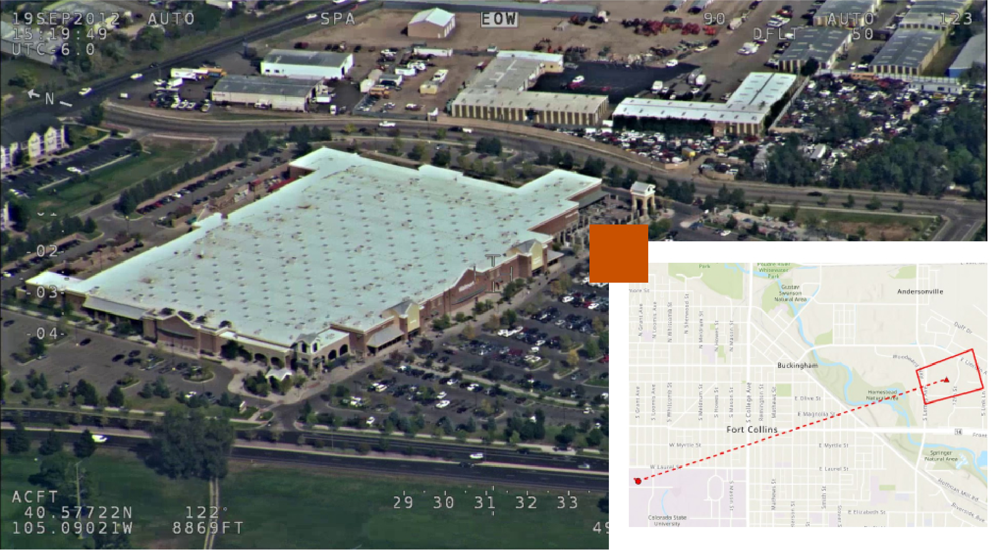
Transform your imagery into actionable insights with ArcGIS
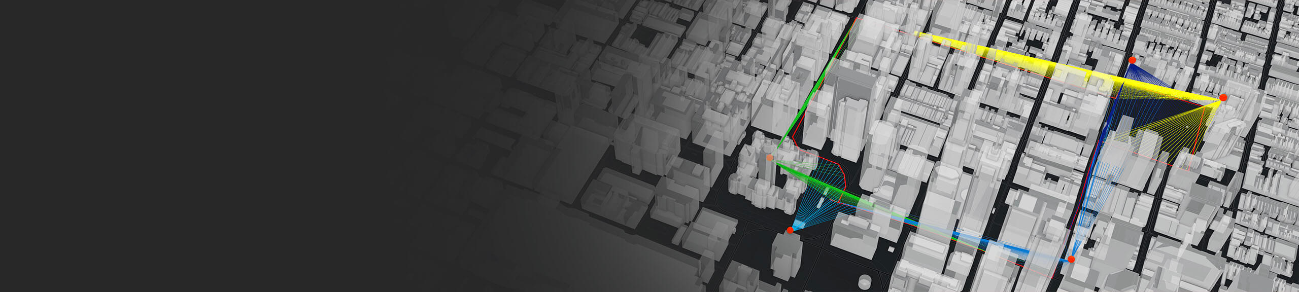
From creating highly accurate 3D imagery products to performing automated feature detection, Esri’s ArcGIS enables defense and intelligence professionals to conduct imagery and remote sensing workflows in one environment. A comprehensive geographic information system (GIS), ArcGIS works in a scalable environment using distributed processing and deep learning for object detection, classification, terrain analysis, and change detection from local to global scales. Use this technology to create and share products and reports—including dynamic imagery—across your organization for smart and efficient decision-making.
Access to imagery is unprecedented and has a tremendous impact on intelligence and defense operations. Esri’s ArcGIS system seamlessly integrates your vector and raster data in one platform to drive efficiency and smarter decision-making.
With over 1,000 prebuilt, customizable tools, ArcGIS empowers organizations to integrate, analyze, and visualize data from multiple sources. It provides the capability to effectively communicate and securely share selected information externally.
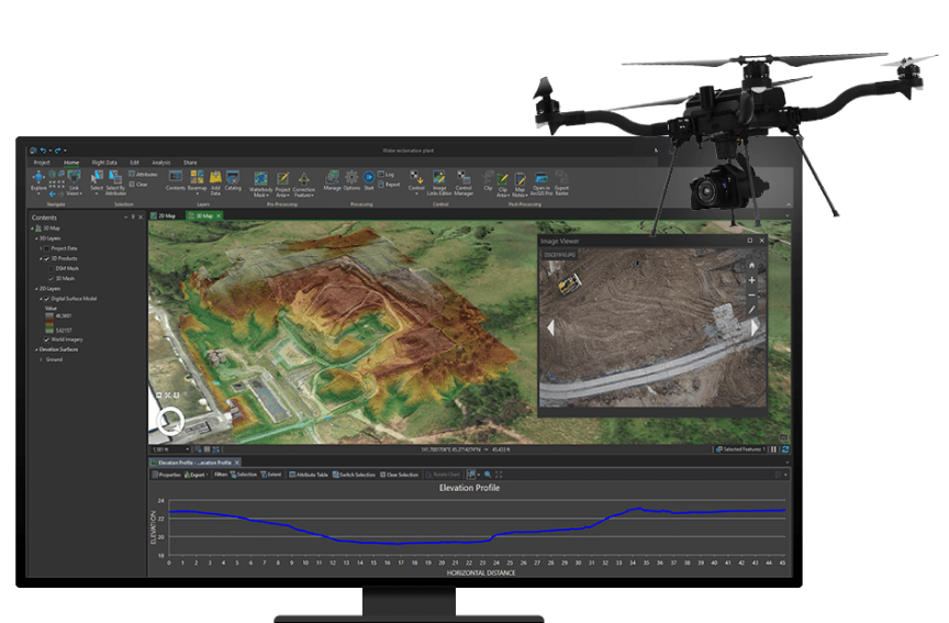
ArcGIS Drone2Map

ArcGIS Reality
ArcGIS Enterprise
ArcGIS Video Server
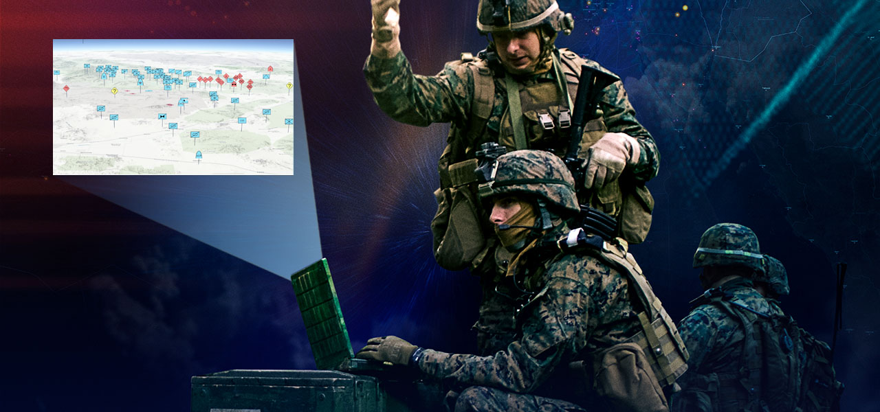
Imagery is essential to your mission and offers unprecedented opportunities for planning, evaluating, course of action analysis, and enhanced support. Let Esri be part of your mission.