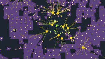
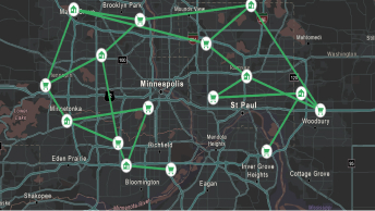
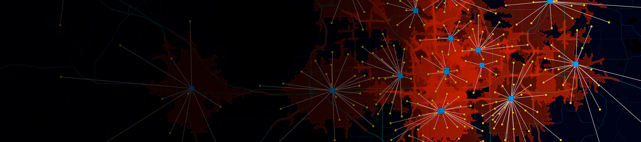
Skip to Content
A dark basemap with red splotches identifying health and safety needs, and blue dots with white lines demonstrating areas of aid and relief distribution

Health and Safety of Tribal Nations

Paving the path to a brighter future

Address health and safety challenges with ArcGIS

Tribal nations have struggled with accessing health equity and safety for decades. Through collaborative efforts and data management, understand the connection between where things are happening and where service gaps exist. With a location-based strategy, leaders can deliver programs and services that align with health needs, find hot spots where resources should be allocated, monitor progress, and more. GIS technology can underscore gaps in the population not yet reached and mitigate against unforeseen events. Applied GIS leads to improved health outcomes, increased accessibility to health care, and healthier communities.

Mother and daughter touching foreheads, their eyes are squinted from smiling, and they are wearing surgical face masks

Improve health equity and access to services

Previous
Next

ESRI Blog

Expediting Water Relief for the Navajo Nation

The adoption of GIS technology fueled a collaborative push to address deficiencies in safe water access in the Navajo Nation during COVID-19.

Go to the blog

Recommended products

With over 1,000 prebuilt, customizable tools, ArcGIS empowers organizations to integrate, analyze, and visualize data from multiple organizations. It provides the capability to effectively communicate and securely share selected information externally.

  • A map with yellow dots and purple highlighted areas demonstrating Esri ArcGIS Knowledge Solution

    ArcGIS Knowledge

    Provide multiple ways to investigate connected data using point-and-click maps, link charts, charts, histograms, and free text search.
  • A map with green lines, house and shopping carts icons demonstration Esri ArcGIS Network Analyst Solution.

    ArcGIS Network Analyst

    Enable the effective movement of goods, organization and coordination of vehicles, and intelligent analysis of your transportation network.
  • An interface of Esri ArcGIS Dashboards

    ArcGIS Dashboards

    Monitor people, services, assets, and events in real time and on a single screen.
  • A screenshot of an Esri ArcGIS Hub webpage

    ArcGIS Hub

    An easy-to-configure community engagement platform organizes people, data, and tools through information-driven initiatives.
Previous
Next

Contact us

Get started building a sustainable, resilient, and equitable infrastructure that can enrich the lives and lands of tribal communities.