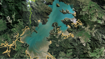
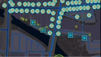
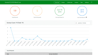
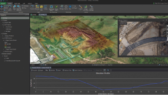
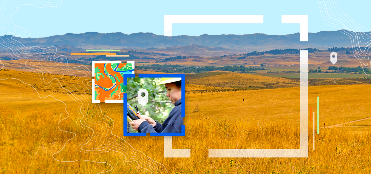
Skip to Content
A green, orange, and blue topographic map of tribal land

Natural Resources in Tribal Nations

Digitally transform natural resources management for greater sustainability

Safeguard resources with GIS

The maintaining of land and natural resources is key to the political and economic self-determination and self-sufficiency of many tribes. The safeguarding of tribal assets—such as water, hunting, fishing, sacred sites, and environmental rights—plays a vital role in preserving a tribe's culture and combating food insecurity and climate change. Using GIS software and location intelligence helps tribal leaders and decision-makers make informed decisions about resource management. Visualize assets, understand trends, and plan for the future while improving regenerative practices and ensuring social equity.

Yellow grass in a plain overlooking hills and open land, and two squares overlaid with a person checking a tablet and a topographic map

Streamline natural resources management

Previous
Next

ESRI BLOG

Responding to the climate emergency with Indigenou

James Rattling Leaf, Sr., brings data and science together with traditional ecological knowledge in GIS to foster tribal climate resilience.

Go to the blog

Contact us

Get started building a sustainable, resilient, and equitable infrastructure that can enrich the lives and lands of tribal communities.