Manage data in an authoritative repository
Establish a single source of truth for address and road data to ensure consistency and reliability.
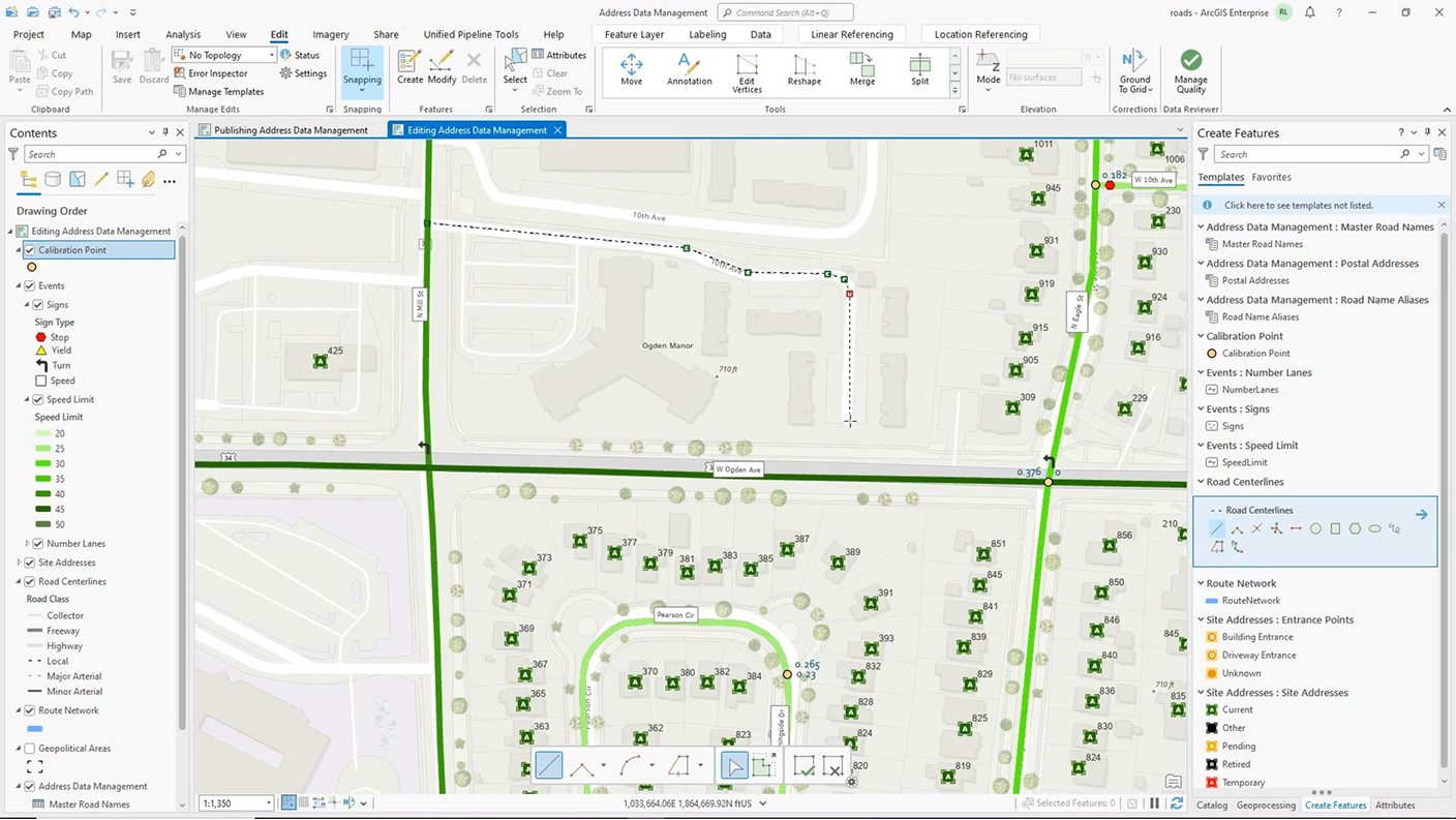
Integrating Esri’s Address Data Management solution with ArcGIS Roads and Highways

Individual departments within a government agency typically manage addressing and road characteristic data on their own, which leads to data discrepancies across the organization.
Integrating Esri’s Address Data Management solution with ArcGIS Roads and Highways consolidates data from disparate environments into a single, centralized platform. This reduces time spent manually entering data and ensures that address and road data are always current and consistent.

A unified centerline management approach boosts operational efficiency. The resulting streamlined workflows, enhanced data quality, smoother collaboration, and informed decision-making improve infrastructure planning and emergency response.
Control address assignment, ranges, and master street names with Address Data Management from ArcGIS Solutions.
Manage roadway assets and ownership responsibility in ArcGIS Roads and Highways.
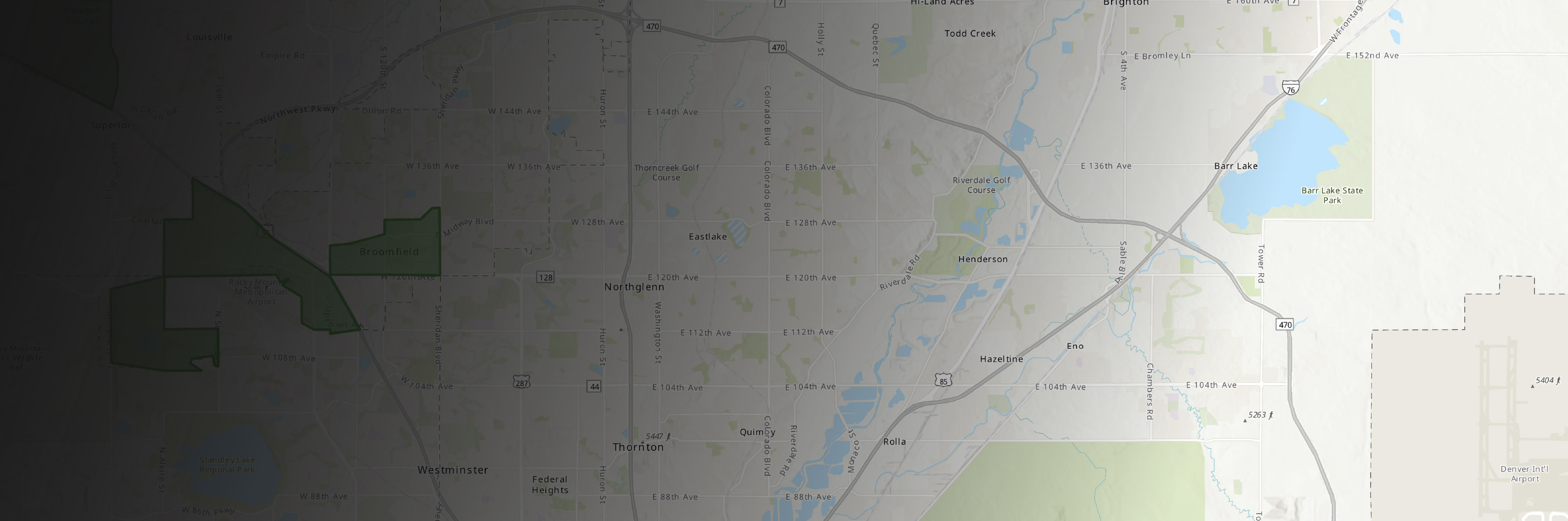
Maintain a single unified, authoritative centerline across multiple departments by integrating addressing and road network data.
Responsible for maintaining city infrastructure, including transportation systems
Interested in streamlining asset tracking and improving project planning
Evaluates transportation alternatives and their impact on communities
Needs a holistic view of how future developments intersect with existing road infrastructure
Ensures that emergency response teams have precise location information
Uses authoritative, up-to-date road and address data to reduce response times
Oversees technical infrastructure that supports multiple departments
Aims to ensure data quality and system performance across platforms
Creates, maintains, and updates road network data
Needs to seamlessly incorporate address data into road network for routing and asset management
Maintain an authoritative address repository and continuously improve the quality of address data.
Learn more about this solutionA road network management software that lets you efficiently manage route and event data from multiple linear referencing systems on a common geographic basis.
Get product detailsA collection of easy-to-deploy, industry-specific configurations of ArcGIS that align with your organization’s needs and help maximize your investment.
Explore the collectionFill out the form and an Esri representative will contact you.