
Counties, cities, and other municipalities are increasingly tasked with capturing and managing roadway characteristics and addressing data in larger quantities with higher quality for use in a variety of processes and decision-making within the organization. These include enhanced 911 (E911), maintenance, planning, public safety, and other business units that need this data for mission-critical processes. As the need for this data within the organization grows, challenges in how this data is maintained have emerged, including:
- The need to develop an authoritative repository of this data that meets the diverse and changing information requirements within the organization.
- Multiple stakeholders, many times across different business units, are maintaining this road-related data.
- There are different representations and duplication of road centerlines within the organization.
- The need accurate and timely road information to continuously improve data quality.
- Next-Generation E911 (NG911) standards and the need to integrate them with this data.
- Requirements to syndicate address and roadway characteristic data with third-party systems.
As the need for this data to be available within the organization grows, modeling and maintaining the data in the most efficient manner is key. To support maintaining address and road characteristic data in a unified, central manner, at the ArcGIS Pro 3.3 and ArcGIS Enterprise 11.3 releases, Esri added support for a combined deployment pattern of the Address Data Management solution with ArcGIS Roads and Highways.
The Address Data Management solution (ADM) can be used to maintain an authoritative address repository and continuously improve the quality of address data. The solution delivers a set of capabilities that help you maintain an authoritative address repository, continuously improve the quality of address data, and share address information with internal and external stakeholders.
ArcGIS Roads and Highways is a road network management system that lets you efficiently manage route and event data from multiple linear referencing systems (LRS) on a common geographic basis. It allows you to easily locate assets and characteristics on or around your road network and expand collaboration by sharing this data across your organization using a measure-based location method.

Deploying the two solutions together provides a comprehensive data management approach, allowing organizations to maintain both road and address data in a single environment, while still providing flexibility for different business units to maintain all or parts of the data.
Single centerline and simple integration
The combined Address Data Management-Roads and Highways deployment pattern solves common issues that organizations typically encounter when managing data. Now, the two solutions can be deployed in a single geodatabase with a shared centerline feature class. This single centerline model provides a single source of truth within the organization and prevents editors from duplicating work and creating centerlines within each business unit.

ADM comes with a geodatabase with a fully defined schema out of the box, giving users the choice to deploy the schema as-is or make changes depending on their organization’s business needs. ArcGIS Roads and Highways can be configured within the ADM database via geoprocessing tools, allowing users to customize their schema as needed within a single geodatabase. When the schema is finalized, the feature classes and tables are published as a feature service and can be shared within the organization.
Single application to maintain and edit (and do quality control)
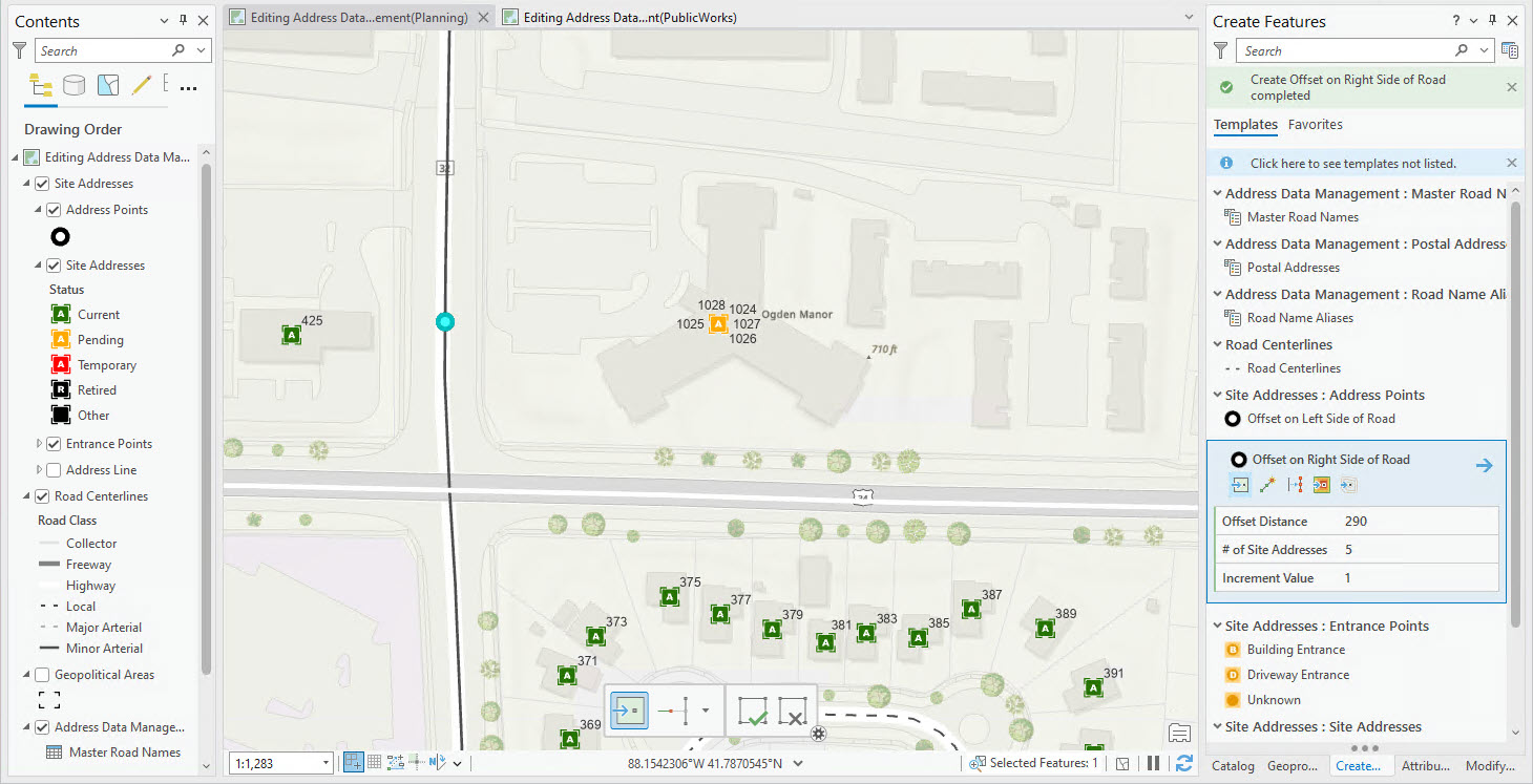
There are tools in both ADM and Roads and Highways for ArcGIS Pro to complete editing address and roadway characteristic data. This reduces the need to go between different applications or maps. Additionally, a combination of attribute rules and ArcGIS Data Reviewer can be utilized in ArcGIS Pro to perform quality assurance/quality control.
Centralized access to all business units for editing and analysis
When data that was historically managed by different business units or departments is combined into a single location, the need to maintain the data by different individuals within the organization may still exist. For example, if the planning group is responsible for centerline creation and inputting addressing information and later the public works group adds the roadway characteristics, work can continue to be broken between different users and business units. While the data lives within one geodatabase and is published as one service, ArcGIS Pro allows the service to be utilized in different Pro projects and maps, only exposing the specific layers that editors would be responsible for maintaining.

For organizations utilizing non-Esri/third-party applications that need a combination of address and road attribute data in a single feature class or table, the Overlay Events geoprocessing tool takes centerlines with address information maintained by ADM and combines it with roadway characteristics, such as number of lanes and speed limit that are managed within Roads and Highways. You can run analysis utilizing geoprocessing tools on this service and publish the results for use in these other applications.

Can be shared for use throughout ArcGIS
Both ADM and ArcGIS Roads and Highways use feature classes, tables, and functionality that are native to the geodatabase. Because this deployment pattern leverages a service-oriented approach, the same service can be utilized in your apps built using ArcGIS Experience Builder, in ArcGIS Field Maps, and in other Esri applications. While editing workflows can be completed within ArcGIS Pro, editing and analysis on this data could be completed in these other applications throughout ArcGIS. For example, road characteristics data could be added to a web map and used in Field Maps to assist with inspections. The service could also be added to ArcGIS Web Editor to update address point attributes.
Learn More
This integration provides an opportunity for local government agencies responsible for maintaining high-quality address and roadway characteristics data to streamline their editing processes and expand the use of this data throughout their organizations to support critical decision-making.
More information about the Address Data Management solution
More information about Roads and Highways and the integration with ADM


Hi team! This looks really promising. Providing more control and direction over addressing is something we’re working on. Question: Can ADUs and business suites be accommodated in this/these solutions? How?
Hi Abe, yes ADUs and business suites are supported in this solution. We represent even unique addressable location as its own site address point. In the solution you would create a site address point and populate the attributes for each ADU or business suite.