3D Analysis

Discover new depths in 3D analysis with ArcGIS

Find the right solution
Map of country with coastal data represented by shades of green, yellow, and red pixels with a white translucent square

Foster informed decision-making with advanced 3D analysis

Perform advanced 3D analysis to understand spatial relationships and gain geospatial insights. With ArcGIS, you can analyze complex geometry and automate object detection and feature extraction at scale by leveraging deep learning, resulting in faster, data-driven decisions.

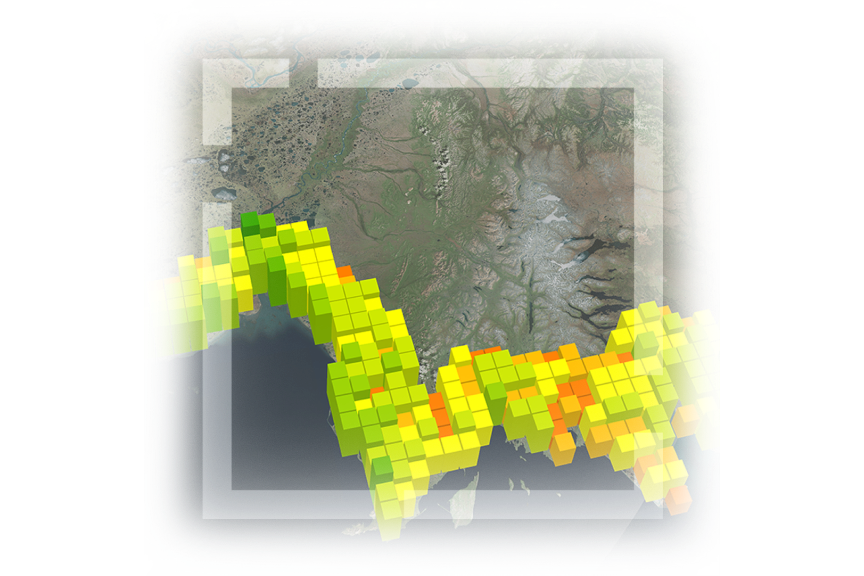
Enhanced surface creation

Enhance the accuracy of surface models and the placement of geographic features by incorporating real-world data sources.

Interactive 3D modeling

Create realistic, interactive 3D models to gain spatial understanding. Extract critical insights that can be applied in an array of industries.

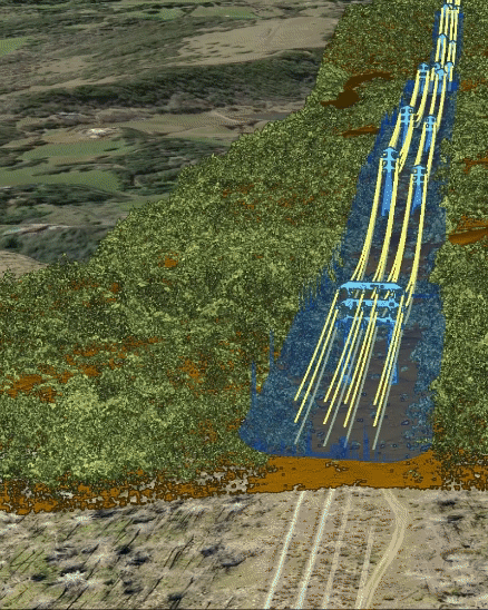
In-depth spatial understanding

Uncover 3D spatial relationships and patterns. Analyze visibility, distance, volume, and surfaces to enhance spatial awareness.

Two workers in yellow vests and hard hats pointing at power lines outdoors and holding a computer
GIF zooming in along a 3D representation of power lines across country hills lined with green trees

Reveal new dimensions in your data

Evaluate and resolve intricate problems with heightened precision and efficiency with ArcGIS.

Comprehensive 3D analysis capabilities with ArcGIS

ArcGIS delivers advanced 3D analysis capabilities to help users conduct in-depth spatial analysis, uncover hidden patterns, and make informed decisions based on comprehensive geospatial insights.

Manage your data

Explore a comprehensive suite of tools, applications, and SDKs that provide a range of analytical, data management, and data conversion capabilities. These tools include advanced deep learning models for pattern recognition and feature extraction from point cloud data to minimize the reliance on manual processes.

Dark base map with yellow to green pixelated squares stacked representing structures of varying heights

Create and manage surface models

Enhance the accuracy of your surface and elevation models by incorporating surface break lines, object detection, and ground feature enforcement. Utilize surface relief modeling, spot height determination, contour generation, and other surface analyses to gain a comprehensive understanding of three-dimensional spatial relationships.

Aerial view of an elevation map with varying hues of green, yellow, and blue representing different elevations

Perform visibility analysis

Utilize interactive tools with intuitive visualization and quantifiable data to improve the understanding of spatial situations. Employ exploratory analysis like line of sight, viewshed, and slice to support informed decision-making in public safety, utilities, military operations, and other scenarios.

Cityscape with clustered buildings and a blue river with tall building emitting blue virtual beams across the water

Measure and assess volume

Calculate and assess volume for various purposes such as cut and fill volume for dredging, urban space evaluation, and vegetation interference with utility lines. Use vector or raster volume operations to measure three-dimensional space, support visualization, and analyze spatial interactions between 3D objects.

3D representation of light pink and green hills on an ocean inlet with color-coded infrastructure on one shoreline

Identify 3D spatial relationships

Analyze, plan, and manage spatial data based on realistic situations. Gain insights into the relationships and interactions between objects and geographic entities in a 3D environment, empowering you to make informed decisions.

Gray cityscape in 3D showing multiple buildings and a green colored building model showcasing dimension

Empowering industries with powerful 3D analysis

ArcGIS delivers robust 3D capabilities to analysts to perform advanced geospatial analysis. It allows you to analyze complex geometry, automate shape and object detection, and extract insights at scale using deep learning.

Previous
Next

Contact sales

Need help finding the right solution? Schedule a conversation with one of our experienced sales consultants.

Contact us

Outside the United States