Why ArcGIS?
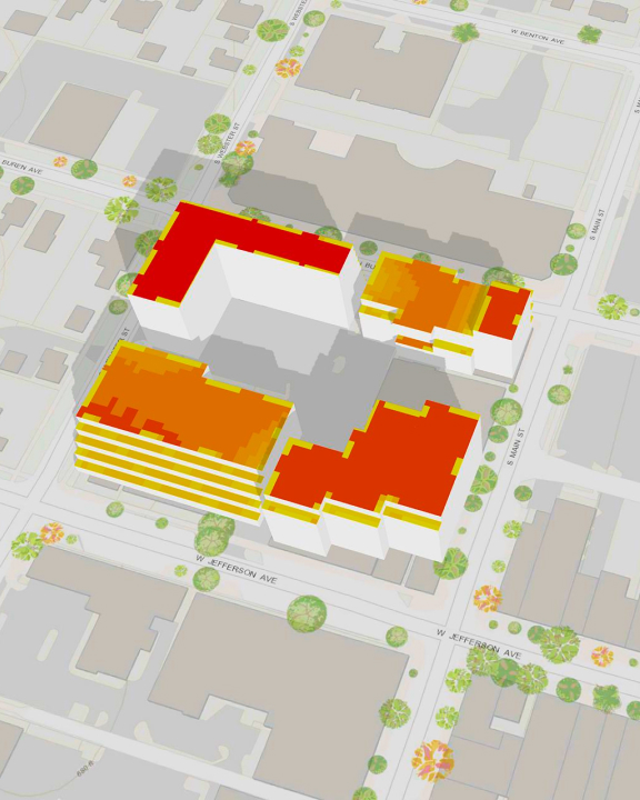
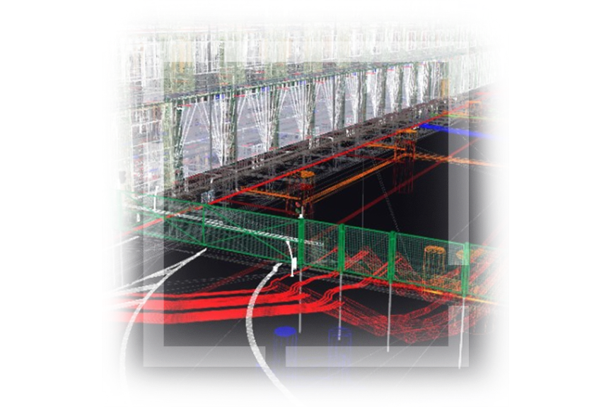
With expertise in supporting infrastructure; natural resources; architecture, engineering, and construction (AEC); government; and security operations, Esri offers a range of tools and applications that enable streamlined 3D and digital twin workflows.
Leverage your technology
Optimize work efficiency and quality with a well-architected framework that maximizes Esri technology capabilities.
Empower your people
Maximize the potential of ArcGIS with comprehensive training and ongoing support, empowering your workforce with essential skills.
Deliver the power of 3D maps to your organization
Leverage 3D map capabilities strategically to maximize location intelligence benefits across your organization, fostering interoperability.


