Skip to Content

Geography and Society

A geographic approach helps mission-driven organizations run efficiently and equitably so they can maximize their positive impact.

How does a geographic approach benefit society?

Geography and society are intimately connected. People working to address our most important challenges, such as sustainability, public health, equity, and conservation, use a geographic approach to better understand those issues and manage their operations through one common language—location.

Organizations can use enterprise-grade geographic information system (GIS) technology to identify areas of need, operate efficiently, and communicate purpose.

A map showing the locations of food bank partners and a woman serving food

Maximize efficiency to have the greatest impact

Beyond analyzing issues of geography and society, humanitarian organizations can apply a geographic approach to operations to improve results. Seamlessly integrating location data with business systems, programs, and activities provides awareness of what is happening where.

  • Find vulnerabilities, disparities, risks, and opportunities. 
  • Pinpoint where to focus limited resources.
  • Measure and optimize program impact.
  • Engage stakeholders and donors with map-based storytelling.
A map of humanitarian aid delivery routes in Africa

Toward a more equitable world

A geographic approach can help organizations address issues of societal inequity and operate equitably themselves. Organizations can use mapping tools and authoritative geospatial data to visualize and analyze population variables such as race and ethnicity, internet access, income level, and disability status.

  • Identify where inequity issues exist.
  • Design and plan equitable resource allocation.
  • Track and measure the impact of actions.
  • Communicate the status and progress of initiatives.
A map of New York showing income extremes

Geography fuels efficient operations

A geographic approach accelerates planning with a map-based view of operations and resources. GIS unlocks data hidden in spreadsheets and databases and integrates it into a common operating picture, providing a better foundation to affect positive change.

  • A simple world map with areas selected in red and blue to represent Direct Relief’s COVID-19 response operations
    Esri Podcast

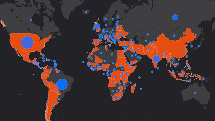
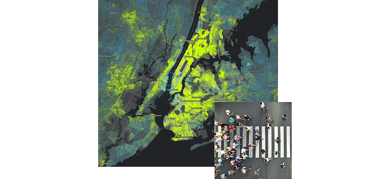
    Direct Relief Streamlines COVID-19 Response

    Nonprofit organization Direct Relief used location technology to circumvent supply chain bottlenecks during the COVID-19 response.
  • A row of white crosses
    Case Study

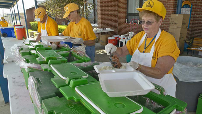
    Archdiocese Improves Operational Efficiency

    The Archdiocese of Portland transitioned from a reliance on paper maps to a modern geographic approach to digital data management.
  • Aid workers serving food
    Esri Blog

    American Red Cross Works from One Map

    The Disaster Partner Hub shares needs and aid agency activities on a map for a shared, mission-driven digital transformation.
  • Villagers gather food rations in Afghanistan
    Esri Blog

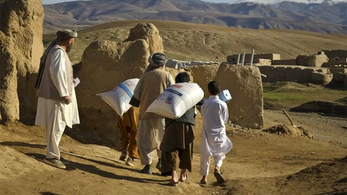
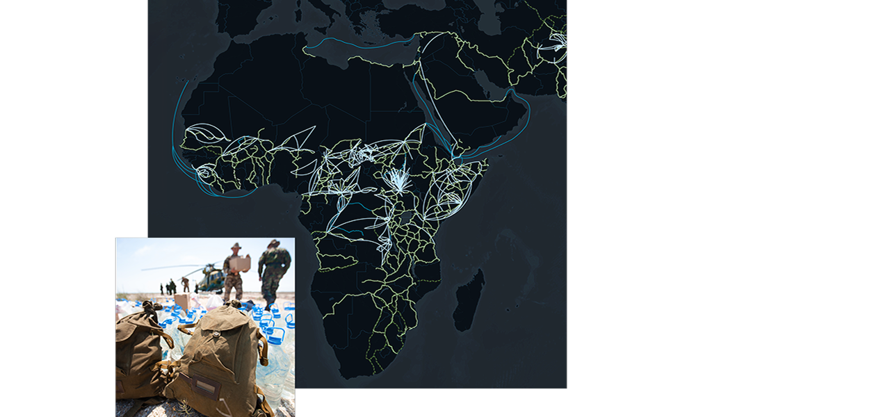
    World Food Programme Guides Operations with GIS

    The organization implemented a system to collect real-time information in its most challenging supply chain—Afghanistan.
Previous
Next

Mapping inequity leads to solutions

Visualizing the locations of marginalized populations and, barriers to equality, reveals significant patterns. Leaders use GIS to show the far-reaching impacts of policies and practices, and decide how to take positive action.

  • Aerial view of pollution-contributing freeways at night
    Esri Blog

    A Geographic Approach to Environmental Justice

    CalEnviroScreen, a project of the California Environmental Protection Agency, reveals which communities have the highest pollution burden.
  • A river and bridge near a city center
    Esri Blog

    Can Mapping Help Mend Social Divides?

    Leaders who address challenges through mapping can cut across political divides by visualizing the needs of disadvantaged communities.
  • Aerial view of Los Angeles freeways
    Esri Blog

    Los Angeles Locates Shade Equity Opportunities

    Armed with the understanding that trees and shade improve health, Los Angeles works with partners to plant new trees equitably.
  • A concentration map of the US in gray and black with clustered points in red and blue
    Esri Podcast

    Social Justice Using Tech and Geography

    Paulette Brown-Hinds from Black Voice News explains how mapping technology brings focus to social justice issues.
Previous
Next

Contact us

Find out how a geographic approach can elevate your organization's work.