October 9, 2020 |
Ryan Lanclos | Public Safety
December 9, 2020
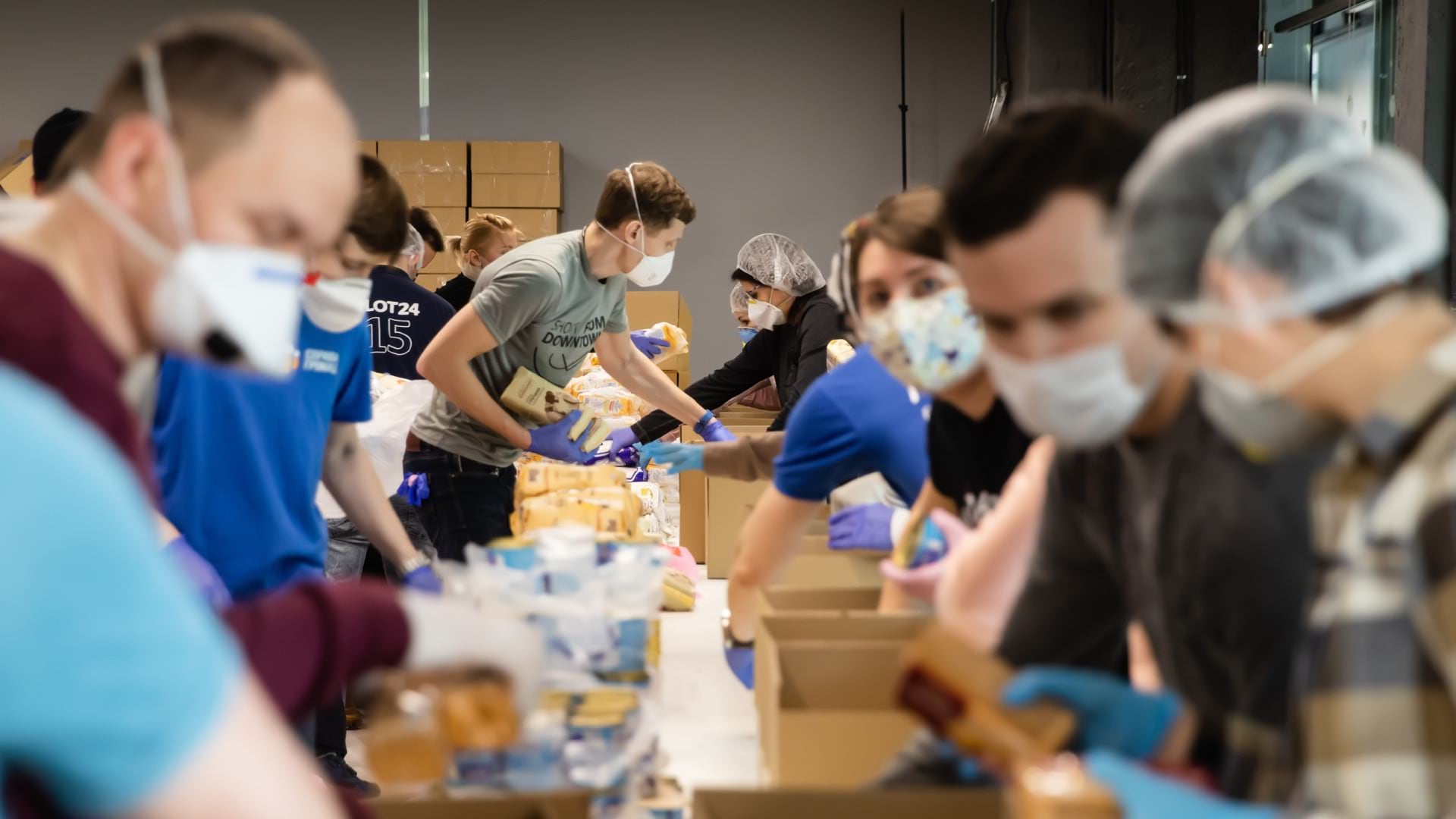
With millions of people out of work and many more going hungry, emergency food assistance organizations are seeing need for aid increase by as much as 500 percent. The accelerated demand, inflated by the pandemic and recent disasters, puts an added strain on nonprofit groups. Fortunately, an American Red Cross online data hub enables a new level of coordination.
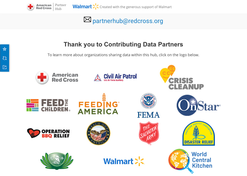
“This revolutionary tool for disaster use is changing the landscape of coordination and collaboration among response and recovery organizations,” said April Wood, senior director, External Program Services, Disaster Operations, American Red Cross National Headquarters. “Red Cross is working with partners such as Feeding America, World Central Kitchen, Southern Baptist Disaster Relief, Salvation Army and Operation BBQ to name a few of the organizations actively involved.”
“They’re used to having to swing for the fences sometimes,” said Patrick Colley, director of member engagement at Feeding America. “But sustaining that for months and months on end has been a real challenge.”
Feeding America is a nationwide network of 200 food banks that provide food assistance to more than 40 million people through partner food pantries, soup kitchens, shelters, and other community-based agencies. The number of people helped continues to grow as the COVID-19 crisis persists.
“We know that many of our members throughout the US have been adding one to two facilities per week, either for temporarily storing the food they need to meet the increased demand or spread people out to social distance enough to allow production to continue,” Colley said.
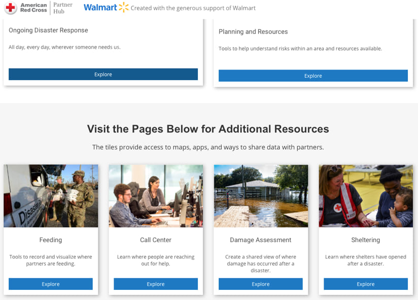
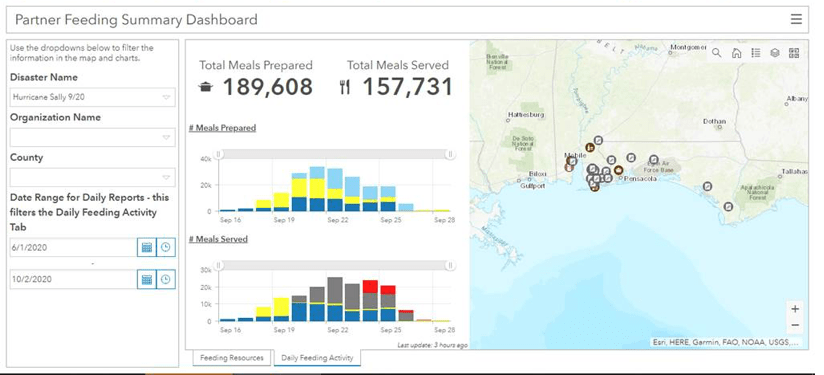
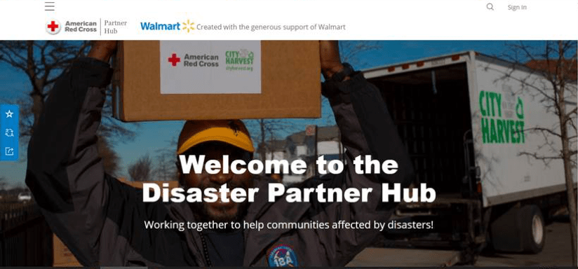
To support Feeding America and other nonprofit groups, corporations, and federal and state agencies, the American Red Cross built a new Disaster Partner Hub thanks to the generous support of Walmart and the Walmart Foundation. It brings together more than 70 organizations to share information related to four key areas: feeding operations, call center data, damage assessment, and shelter operations. A pilot project ran from April through June of this year, focused on pandemic food insecurity. Based on that success, feeding partners have incorporated the hub into their daily operational workflows.
“Feeding America has been an early adopter that has been in lockstep with us since the beginning of the vision,” said April Wood. “We were able to pull together data from partners in an automated fashion to visualize daily feeding activity in one dashboard for the first time.”
Capabilities of the American Red Cross Disaster Partner Hub come from the organization’s geographic information system (GIS), a technology that delivers online maps and apps for preparedness, response, recovery, and planning.
In building its enterprise GIS solution, known as the Red Cross Visual Interactive Event Wizard (RC View), the American Red Cross fostered a digital transformation. RC View is utilized regularly by 70,000 members of the Red Cross team, which represents a large portion of its 20,000-person workforce and 372,000 volunteers.
The American Red Cross Disaster Partner Hub provides access to GIS capabilities to aid partners. This data sharing extends beyond pandemic food insecurity response and into collaborative efforts to help recent hurricane victims.
“It’s given us a whole different way to communicate,” Colley said. “We’re communicating now with data and seeing the hurricane areas a lot clearer. It serves as an immediate check to see where we’re responding, quickly with a glance, and it lets us share status updates with the entire group and decide where to best direct resources through good communication.”

Though COVID-19 case numbers have escalated rapidly, the need for assistance resulting from the disruptions caused by the disease often lags. There is no shortage of need, but for aid organizations, it can be difficult to determine where and when to focus their attention.
“The day they test positive isn’t the day they need food,” Colley said. “Seeing indicators on a map helps us be mindful of not just where the hotspots are right now, but which of these hotspots are going to need continued support afterwards.”
COVID-19 adds to the complexity of disaster response, because the crisis has coincided with some of the largest wildfires and hurricane events the nation has seen.
“The wildfires that have been plaguing the West Coast are not the same as hurricanes because people will weather a storm, but you can’t weather a fire,” Colley said. “Instead of a pinpointed place to bring aid, there is an immediate population movement, and we need to take the food to the people, which can sometimes be several counties or states away.”
“The Partner Hub is a game changer as far as data collection and visualization,” said Doug Roberts, state individual assistance officer, Florida Division of Emergency Management. “The central tool will make our response better. In addition to understanding where current efforts are underway, analysts at the American Red Cross can now look at historical disaster response data to score regions for their risk propensity.”
This year, the analytical information is helping staff in American Red Cross regions and partner groups prepare and respond to an unprecedented combination of sequential disasters and a global health crisis.
The fact that the hub is delivered as a software-as-a-service implementation and accessible anytime and anywhere has been crucial for many partners working from home and using mobile devices. In addition, American Red Cross has leveraged ArcGIS StoryMaps to produce more than a dozen event-specific Partner Situational Awareness Briefs that have been viewed more than 22,000 times in the last eight months.
“The ability to connect virtually through the hub has become an important space for us and our partners to work in during the pandemic,” said Nigel Holderby, director, Disaster Public Affairs at American Red Cross.
The GIS tools have fostered more direct connections between the individuals and organizations working to feed people in times of crisis.
“It’s really amazing,” Colley said, “to see how all of your coworkers, community, donors, other national partners, when they can clearly see the exact same goal and the same need and the path toward it, how amazingly collaborative and supportive we can be.”
Visit Esri’s Disaster Response Program to see resources and learn how GIS is applied during a crisis.