Engineering and Consulting

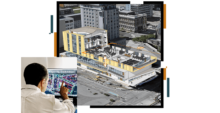
GIS places location intelligence at the center of every engineering or consulting project, turning complex information into clear, actionable insight from design through digital asset management. Architects, engineers, designers and consultants work in a single, authoritative environment where they can connect schedules, materials, BIM, reality capture, and real-time field data to create a living digital twin that stays aligned with what is actually happening on site.

Keep the office and job site in sync with live location feeds from field crews, sensors, and equipment, so everyone can collaborate using software-agnostic, up-to-date information when decisions matter most.

Functions

Permitting and preliminary design

Organize information to make those first big design decisions. Get through permitting more easily with information organized for analysis and decision-making.

As-built workflows

Collect data on existing conditions of the site, building, or remediation work. Mobile technology, connected to a GIS platform, allows for productivity in as-built workflows.

Collaborative design reviews

With the team or with the client or larger groups, GIS is a great tool for sharing, collaborating, and informing stakeholders on design progress. 

Jobsite and mobile workflows

Simplified collection and analysis of data on conditions throughout the project inform the engineers making critical decisions, which will have an impact for years.

Case study

ArcGIS & BIM renew future of Sydney Circular Quay

ArcGIS and BIM integration creates a real-time asset information model to use for Sydney Circular Quay infrastructure development.

Go to case study

Contact sales