
Ebook
GIS for Architecture, Planning, and Urban Design
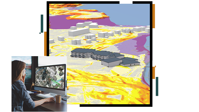
This ebook explores how geographic information system (GIS) technology can enhance architecture and urban planning by enabling strategic, data-driven decisions. It covers techniques for site analysis, data visualization, and stakeholder collaboration. Readers will also learn best practices for integrating GIS with CAD and BIM to ensure seamless project execution.


