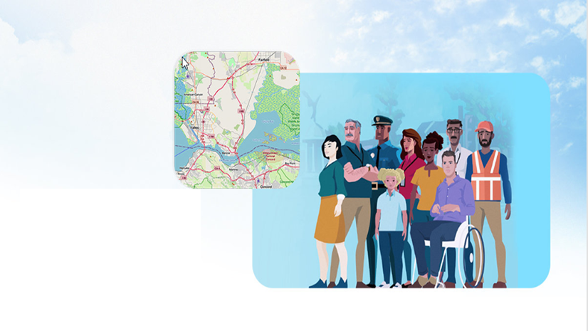
Earlier this year, we launched the Esri Equity and Social Justice Seminar series, our first seminar was in Olympia, WA in May. This initiative was designed to host in-person events in targeted areas across the country, bringing together equity and GIS professionals. GIS is a powerful tool that fosters collaboration across disciplines and departments.
Over the past decade, there has been a notable rise in professionals using data and GIS to drive equity and community engagement efforts. Just look at these Esri Award winners—from the Latino Conservation and Heritage Foundation’s work highlighting the Bracero Program, to LA County’s establishment of an entire division focused on racial equity.
Since joining Esri three years ago, I’ve been committed to creating spaces where equity and GIS professionals can connect and network. Esri continues to host Equity Seminars to support attendees in advancing their equity work.
At Esri, we’re in a unique position to hear from thousands of customers. We observe patterns, trends, and pain points across industries—and we have the opportunity to bring people with shared interests together.
Join us at the Minneapolis Equity Seminar on October 9 to network, learn, and hear from leaders in Equity and GIS.
- Hear from Esri experts on equity and economic mobility. The day will be stacked with Esri staff presentations. As the lead for equity and civic nonprofits, I will start off the day talking about how to create equity strategic plans and how GIS technology can be used to advance economic mobility in your area. We will also have Raynah Kamau, lead for Esri’s GeoEquity community of practice, present on how Esri customers have leveraged professional services to help move their equity work forward. Ariana Kim from the nonprofit team will present on the Esri Nonprofit program and how GIS can be used by civic and social justice nonprofit organizations.
- Be amongst the first to receive our brand-new equity materials. By attending the seminar, you will have a unique opportunity to take home copies of our new print pieces to share with your colleagues. You will receive our equity map booklet, our new economic mobility brochure, and our new nonprofit equity brochure. The Equity and Social Justice Map Booklet is a comprehensive booklet that features 58 Equity and Social Justice customer examples from across the world.
- Hear from incredible local equity speakers. We are excited to announce that multiple members of the Minnesota state team will be presenting, including Sally Wakefield, GIS Supervisor at Minnesota IT Services, Alison Slaats, Chief Geospatial Information Officer and Ashley Oolman, Chief Equity Officer. They will discuss how the state is talking about equity and how they are leveraging GIS for their work. Frank Romo, Geospatial Consultant and CEO at RomoGIS, will talk about his work with customers to elevate economic mobility with students and local governments. We will also have Dale Watt GIS Project Manager at Trust for Public Lands. He will present how the national nonprofit is using GIS to create parks and protect land for communities across the country.
- See real-world examples. Phillip Julian, a local Solution Engineer in the Minneapolis Office, will demonstrate examples of how you can use ArcGIS tools for social equity and community engagement. He will show how to use the Social Equity Analysis Solution and how you can use ArcGIS Hub, and Survey 123 to enhance your community engagement efforts across your organization.
- Engage with individuals who share similar interests and passions in your local community. Take advantage of the opportunity to network throughout the day, which includes not only formal sessions but also informal interactions during lunch. Additionally, join us for our complimentary social gathering after the event, where you can further connect with fellow attendees, exchange ideas, and build lasting relationships
Register today to secure your spot as space is limited.